


National Geographic

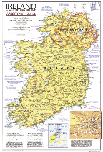
Ireland and Northern Ireland Visitors Guide - Published 1981
This visitor's guide map to Ireland and Northern Ireland features a variety of historical sites and interesting facts. Published in April 1981 as a companion to the "Historic Ireland" map and three articles on Ireland.
Page Size: 14 x 20.5 in (353 x 520 mm)
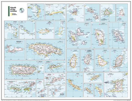
Islands of the Antilles - Atlas of the World, 11th Edition
This collection of 30 map extracts shows the major islands of the Antilles:
Abaco Island, Grand Bahama Island, Eleuthera, Exuma, New Providence, San Salvador, Grand Cayman, Puerto Rico, St. Croix, Tortola, St. Thomas and St. John, Anguilla, Virgin Gorda, St. Martin (France) and St. Marrten, St. Kitts and Nevis, Antigua, Monserrat, Guadeloupe, Dominica, Martinique, St. Lucia, St. Vincent,Barbados, Grenada, Curaçao, Tobago, Aruba, Bonaire, and Trinidad.
This map uses a bright, easy to read color palette featuring blue oceans and stunning shaded relief that has been featured on National Geographic wall maps for over 75 years.
Names of geographic features are carefully placed on the map to maintain legibility.
This map is found in National Geographic's 11th Edition World Atlas and is now available as a stand alone product.
Page Size: 31.5 x 24 in (798 x 610 mm)
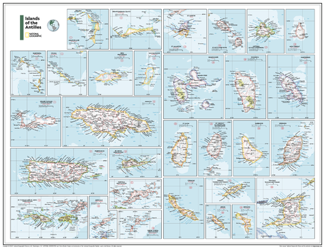
Islands of the Antilles - Atlas of the World, 11th Edition - Compact
This collection of 30 map extracts shows the major islands of the Antilles:
Abaco Island, Grand Bahama Island, Eleuthera, Exuma, New Providence, San Salvador, Grand Cayman, Puerto Rico, St. Croix, Tortola, St. Thomas and St. John, Anguilla, Virgin Gorda, St. Martin (France) and St. Marrten, St. Kitts and Nevis, Antigua, Monserrat, Guadeloupe, Dominica, Martinique, St. Lucia, St. Vincent,Barbados, Grenada, Curaçao, Tobago, Aruba, Bonaire, and Trinidad.
This map uses a bright, easy to read color palette featuring blue oceans and stunning shaded relief that has been featured on National Geographic wall maps for over 75 years.
Names of geographic features are carefully placed on the map to maintain legibility.
This map is found in National Geographic's 11th Edition World Atlas and is now available as a stand alone product.
Page Size: 21.5 x 16.25 in (540 x 413 mm)
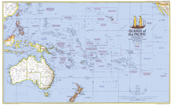
Islands of the Pacific - Published 1974
This map of the Pacific Islands shows ocean currents, prevailing winds, political administration boundaries, and includes historical notes. Published in December 1974 to accompany the article "The Coming of the Polynesians."
Page Size: 37 x 22.75 in (940 x 573 mm)
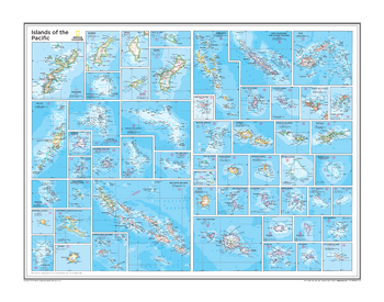
Islands of the Pacific - Atlas of the World, 10th Edition
Fifty-four detailed inset maps of islands and island groups that correspond to numbered locations on the overview map of the Pacific (Pacific Ocean Political, plate 109)
Page Size: 28 x 22 in (711 x 559 mm)

Islands of the Pacific - Atlas of the World, 11th Edition
This Islands of the Pacific map of physical and political features can fit in any space. Showcasing the region in stunning detail with state-of-the-art cartographic techniques delivering accuracy and exceptional quality, the innovative and engaging design makes the content easily accessible and user-friendly.
Ideal for classrooms with an emphasis on teaching geography or environmental themes. The inclusion of physical features gives your students a genuine feel for how our world appears.
54 island nations are showcased in each unique inset, allowing the reader to see all of the islands in maximum detail within the wall map space.
This map uses a bright, easy to read color palette featuring blue oceans and stunning shaded relief that has been featured on National Geographic wall maps for over 75 years.
This map is found in National Geographic's 11th Edition World Atlas and is now available as a stand alone product.
Page Size: 31.5 x 24 in (798 x 610 mm)
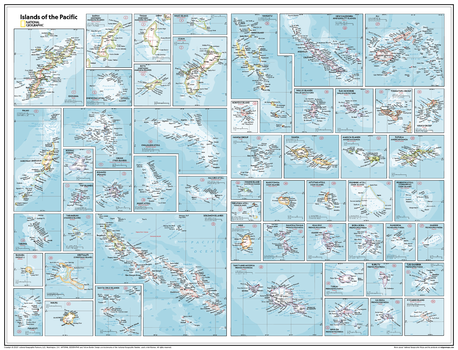
Islands of the Pacific - Atlas of the World, 11th Edition - Compact
This Islands of the Pacific map of physical and political features can fit in any space. Showcasing the region in stunning detail with state-of-the-art cartographic techniques delivering accuracy and exceptional quality, the innovative and engaging design makes the content easily accessible and user-friendly.
Ideal for classrooms with an emphasis on teaching geography or environmental themes. The inclusion of physical features gives your students a genuine feel for how our world appears.
54 island nations are showcased in each unique inset, allowing the reader to see all of the islands in maximum detail within the wall map space.
This map uses a bright, easy to read color palette featuring blue oceans and stunning shaded relief that has been featured on National Geographic wall maps for over 75 years.
This map is found in National Geographic's 11th Edition World Atlas and is now available as a stand alone product.
Page Size: 21.5 x 16.25 in (540 x 413 mm)
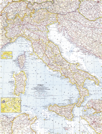
Italy - Published 1961
National Geographic commemorated Italy's centennial as a unified country in November 1961 with this map and an article about the historic milestone. This detailed work features inset city maps of Naples and Rome.
Page Size: 19 x 25 in (480 x 632 mm)
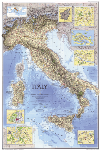
Italy - Published 1995
A beautiful physical and political map of Italy that features striking relief and bathymetry. Published in February 1995 as half of a two–map set with "Historical Italy", and accompanied by an article on Venice.
Page Size: 22.25 x 33 in (563 x 835 mm)
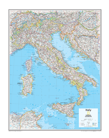
Italy - Atlas of the World, 10th Edition
null
Page Size: 22 x 28 in (559 x 711 mm)
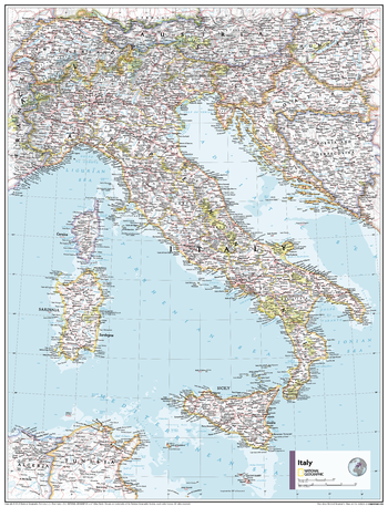
Italy - Atlas of the World, 11th Edition
This Italy map of physical and political features can fit in any space. Showcasing the countries in stunning detail with state-of-the-art cartographic techniques delivering accuracy and exceptional quality, the innovative and engaging design makes the content easily accessible and user-friendly.
Ideal for classrooms with an emphasis on teaching geography or environmental themes.The inclusion of physical features gives your students a genuine feel for how our world appears.
This map uses a bright, easy to read color palette featuring blue oceans and stunning shaded relief that has been featured on National Geographic wall maps for over 75 years. It is drawn in the Albers Conic Equal-Area projection, which uses two standard parallels between which distortion is minimized, however scale and shape is not preserved.
Names of geographic features are carefully placed on the map to maintain legibility.
This map is found in National Geographic's 11th Edition World Atlas and is now available as a stand alone product.
Page Size: 24 x 31.5 in (610 x 798 mm)
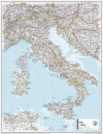
Italy - Atlas of the World, 11th Edition - Compact
This Italy map of physical and political features can fit in any space. Showcasing the countries in stunning detail with state-of-the-art cartographic techniques delivering accuracy and exceptional quality, the innovative and engaging design makes the content easily accessible and user-friendly.
Ideal for classrooms with an emphasis on teaching geography or environmental themes.The inclusion of physical features gives your students a genuine feel for how our world appears.
This map uses a bright, easy to read color palette featuring blue oceans and stunning shaded relief that has been featured on National Geographic wall maps for over 75 years. It is drawn in the Albers Conic Equal-Area projection, which uses two standard parallels between which distortion is minimized, however scale and shape is not preserved.
Names of geographic features are carefully placed on the map to maintain legibility.
This map is found in National Geographic's 11th Edition World Atlas and is now available as a stand alone product.
Page Size: 16.25 x 21.5 in (413 x 540 mm)
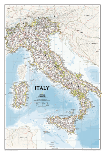
Italy Classic
Our most detailed wall map of Italy. Features thousands of place names, accurate political boundaries, major infrastructure networks such as roads, canals, aqueducts, ferry routes, airports, and railroads. Italy's diverse terrain is detailed through accurate shaded relief, coastal bathymetry, and symbolism for water features and other land forms including the outlying islands of Corsica, Elba, Isola di Pantelleria, Isola San Domino, Isola di Ustica, Isole Eolle O Lipari, Sardinia and Sicily. Elevations of major peaks are expressed in feet, depth soundings are expressed in fathoms.
Page Size: 23.25 x 34.25 in (591 x 867 mm)
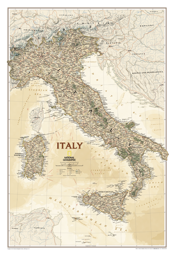
Italy Executive
This elegant, richly colored antique-style map features the incredible cartographic detail that is the trademark of National Geographic quality. In addition to detailed reference information - country boundaries, roads, cities and towns, lakes and waterways, etc. - our map of Italy also includes helpful inset maps for San Marino, Milan, Venice, Florence, Rome and other famous cities.
Page Size: 23.25 x 34.25 in (591 x 867 mm)
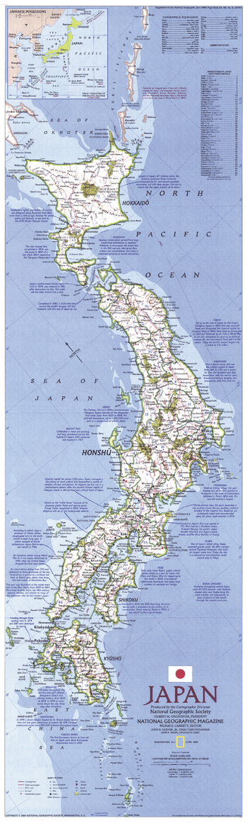
Japan - Published 1984
This map of Japan is vibrant and striking in its detail, containing an abundance of historical notes and landmarks. Published in June 1984 as a companion to a historical Japan map and the article "Hagi: Where Japan's Revolution Began."
Page Size: 11.25 x 37.25 in (283 x 941 mm)
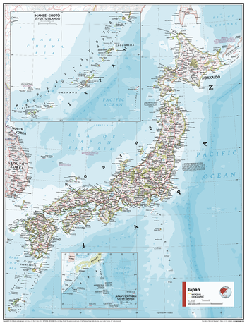
Japan - Atlas of the World, 11th Edition
This Japan map of physical and political features can fit in any space. Showcasing the countries in stunning detail with state-of-the-art cartographic techniques delivering accuracy and exceptional quality, the innovative and engaging design makes the content easily accessible and user-friendly.
Ideal for classrooms with an emphasis on teaching geography or environmental themes. The inclusion of physical features gives your students a genuine feel for how our world appears.
This map uses a bright, easy to read color palette featuring blue oceans and stunning shaded relief that has been featured on National Geographic wall maps for over 75 years. It is drawn in Conic projection, in which an area of the earth is projected onto a cone whose vertex is usually above one of the poles, then unrolled onto a flat surface.
Names of geographic features are carefully placed on the map to maintain legibility.
This map is found in National Geographic's 11th Edition World Atlas and is now available as a stand alone product.
Page Size: 24 x 31.5 in (610 x 798 mm)
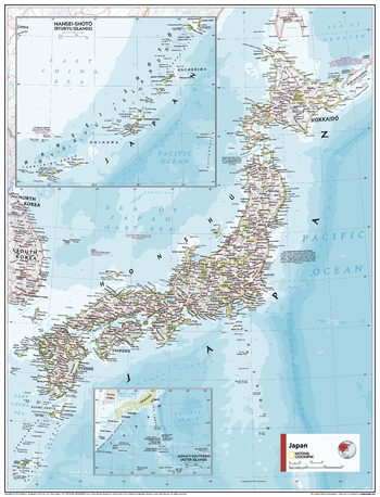
Japan - Atlas of the World, 11th Edition - Compact
This Japan map of physical and political features can fit in any space. Showcasing the countries in stunning detail with state-of-the-art cartographic techniques delivering accuracy and exceptional quality, the innovative and engaging design makes the content easily accessible and user-friendly.
Ideal for classrooms with an emphasis on teaching geography or environmental themes. The inclusion of physical features gives your students a genuine feel for how our world appears.
This map uses a bright, easy to read color palette featuring blue oceans and stunning shaded relief that has been featured on National Geographic wall maps for over 75 years. It is drawn in Conic projection, in which an area of the earth is projected onto a cone whose vertex is usually above one of the poles, then unrolled onto a flat surface.
Names of geographic features are carefully placed on the map to maintain legibility.
This map is found in National Geographic's 11th Edition World Atlas and is now available as a stand alone product.
Page Size: 16.25 x 21.5 in (413 x 540 mm)
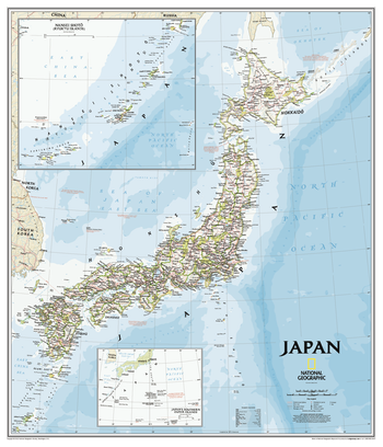
Japan Classic
This classic-style map of Japan shows political boundaries, major highways and roads, cities and towns, airports, and other geographic details. Thousands of place-names and exact borders are carefully researched by National Geographic's map researchers and editors ensuring the utmost accuracy.
Page Size: 25 x 29.25 in (635 x 740 mm)
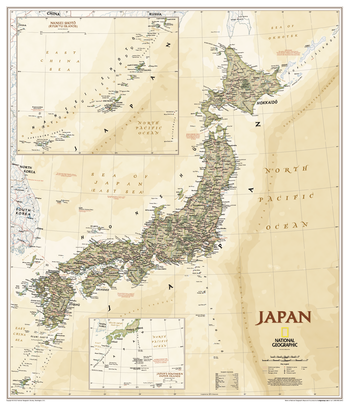
Japan Executive
This executive-style map of Japan shows political boundaries, major highways and roads, cities and towns, airports, and other geographic details. Thousands of place-names and exact borders are carefully researched by National Geographic's map researchers and editors ensuring the utmost accuracy.
Page Size: 25 x 29.25 in (635 x 740 mm)
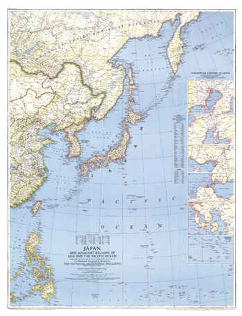
Japan and Adjacent Regions of Asia and the Pacific Ocean - Published 1944
Published in April 1944 during World War II, this striking map of Japan and the adjacent regions of Asia and the Pacific Ocean accompanied at article entitled "Japan and the Pacific." Particular detail is paid to the industrial centers of Japan which appear in detailed insets.
Page Size: 27 x 35.25 in (682 x 890 mm)