top of page
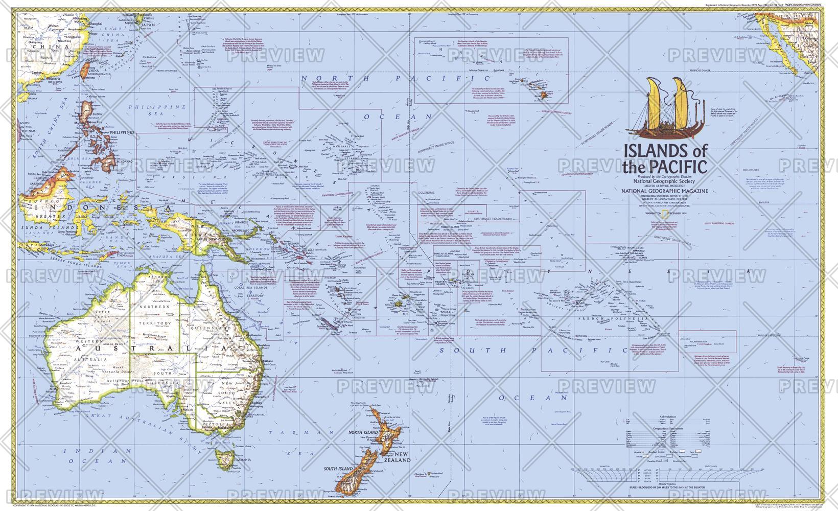
Islands of the Pacific - Published 1974
National Geographic
This map of the Pacific Islands shows ocean currents, prevailing winds, political administration boundaries, and includes historical notes. Published in December 1974 to accompany the article "The Coming of the Polynesians."
Page Size: 37 x 22.75 in (940 x 573 mm)
Buy this map on MapTrove.ca or MapTrove.com

bottom of page


