


National Geographic

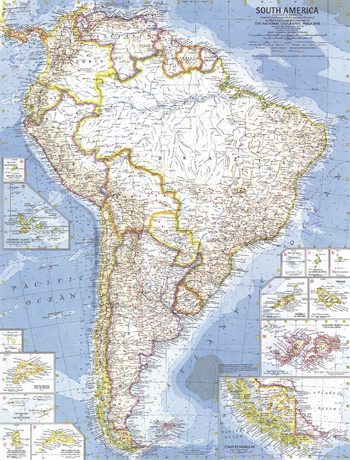
South America - Published 1960
This map is the first of National Geographic's South American maps to feature the many islands in the region. Thirteen inset maps detail the individual islands or island groups. Published in February 1960 with the article "Chile, the Long and Narrow Land."
Page Size: 19 x 25 in (480 x 631 mm)
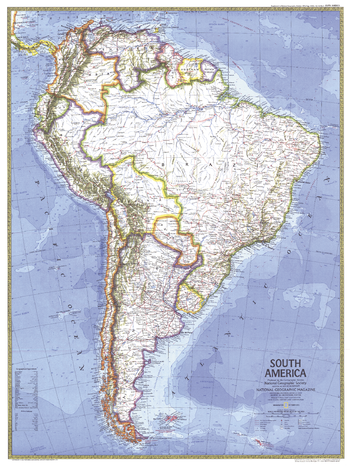
South America - Published 1972
This political map of South America highlights the countries of Trinidad and Tobago, and Guyana, both of which gained their independence from the United Kingdom in the 1960s. Published in October 1972 as a companion to a physical map of South America.
Page Size: 23 x 30.5 in (580 x 772 mm)
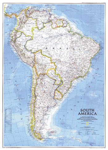
South America - Published 1992
This attractive map displays the political boundaries of South America. At the time of this map's creation, only one country on the continent was not an independent nation; French Guiana remains part of France and hosts the European Space Agency's principal spaceport near the equator, the Centre Spatial Guyanais. Published in August 1992 with the supplemental map "Amazonia, A World Resource At Risk."
Page Size: 20.25 x 28 in (512 x 707 mm)
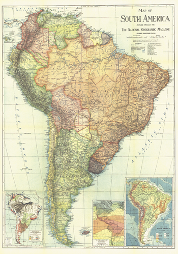
South America - Published 1921
This beautifully colored map includes economic, climate, and physical information about South America. The entire October 1921 issue of National Geographic in which this map appeared was dedicated to the continent.
Page Size: 26 x 37 in (655 x 934 mm)
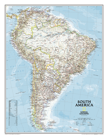
South America Classic
This classic map of South America shows political boundaries, place names, airports, major roads and highways, and other geographic features for the entire continent. Includes the countries and major cities of Argentina, Bolivia, Brazil, Chile, Colombia, Ecuador, Guyana Paraguay, Peru, Suriname, Uruguay, and Venezuela.
Page Size: 23.75 x 30.5 in (599 x 770 mm)
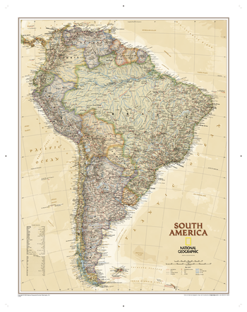
South America Executive
This elegant, richly colored antique-style map features the incredible cartographic detail that is the trademark of National Geographic quality. This map of South America shows political boundaries, place names, airports, major roads and highways, and other geographic features for the entire continent.
Page Size: 25.25 x 32 in (640 x 810 mm)
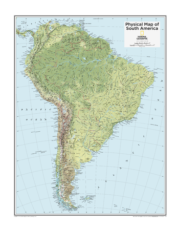
South America Physical - Atlas of the World, 10th Edition
null
Page Size: 22 x 28 in (559 x 711 mm)
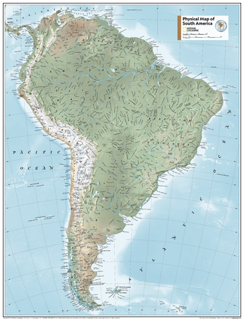
South America Physical - Atlas of the World, 11th Edition
This map of physical features can fit in any space. Showcasing South America in stunning detail with state-of-the-art cartographic techniques delivering accuracy and exceptional quality, the innovative and engaging design makes the content easily accessible and user-friendly.
Ideal for classrooms with an emphasis on teaching geography or environmental themes. A physical wall maps give your students a genuine feel for how south america appears.
This physical map of South America uses a bright, easy to read color palette featuring blue oceans and stunning shaded relief that has been featured on National Geographic wall maps for over 75 years. Drawn in the Azimuthal Equidistant projection, this map ensures that all points are at proportionally correct distances from the center point.
Names of geographic features such as international boundaries, cities, rivers and lakes are carefully placed on the map to maintain legibility.
This map is found in National Geographic's 11th Edition World Atlas and is now available as a stand alone product.
Page Size: 24 x 31.5 in (610 x 798 mm)
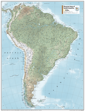
South America Physical - Atlas of the World, 11th Edition - Compact
This map of physical features can fit in any space. Showcasing South America in stunning detail with state-of-the-art cartographic techniques delivering accuracy and exceptional quality, the innovative and engaging design makes the content easily accessible and user-friendly.
Ideal for classrooms with an emphasis on teaching geography or environmental themes. A physical wall maps give your students a genuine feel for how south america appears.
This physical map of South America uses a bright, easy to read color palette featuring blue oceans and stunning shaded relief that has been featured on National Geographic wall maps for over 75 years. Drawn in the Azimuthal Equidistant projection, this map ensures that all points are at proportionally correct distances from the center point.
Names of geographic features such as international boundaries, cities, rivers and lakes are carefully placed on the map to maintain legibility.
This map is found in National Geographic's 11th Edition World Atlas and is now available as a stand alone product.
Page Size: 16.25 x 21.5 in (413 x 540 mm)
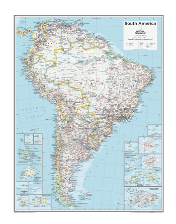
South America Political - Atlas of the World, 10th Edition
null
Page Size: 22 x 28 in (559 x 711 mm)
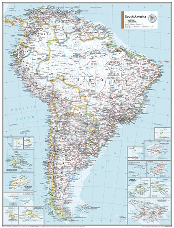
South America Political - Atlas of the World, 11th Edition
This map of political features can fit in any space. Showcasing South America in stunning detail with state-of-the-art cartographic techniques delivering accuracy and exceptional quality, the innovative and engaging design makes the content easily accessible and user-friendly.
Ideal for classrooms with an emphasis on teaching geography or environmental themes. The inclusion of physical features on this map gives your students a genuine feel for how our world appears.
This political map of South America uses a bright, easy to read color palette featuring blue oceans and stunning shaded relief that has been featured on National Geographic wall maps for over 75 years. Drawn in the Azimuthal Equidistant projection, this map ensures that all points are at proportionally correct distances from the center point.
Names of geographic features such as international boundaries, cities, rivers and lakes are carefully placed on the map to maintain legibility.
This map is found in National Geographic's 11th Edition World Atlas and is now available as a stand alone product.
Page Size: 24 x 31.5 in (610 x 798 mm)
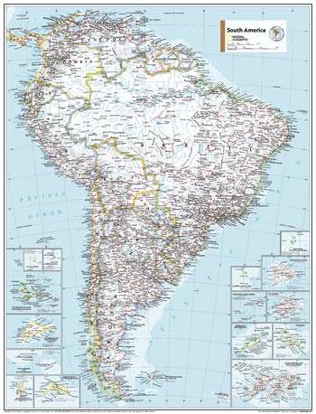
South America Political - Atlas of the World, 11th Edition - Compact
This map of political features can fit in any space. Showcasing South America in stunning detail with state-of-the-art cartographic techniques delivering accuracy and exceptional quality, the innovative and engaging design makes the content easily accessible and user-friendly.
Ideal for classrooms with an emphasis on teaching geography or environmental themes. The inclusion of physical features on this map gives your students a genuine feel for how our world appears.
This political map of South America uses a bright, easy to read color palette featuring blue oceans and stunning shaded relief that has been featured on National Geographic wall maps for over 75 years. Drawn in the Azimuthal Equidistant projection, this map ensures that all points are at proportionally correct distances from the center point.
Names of geographic features such as international boundaries, cities, rivers and lakes are carefully placed on the map to maintain legibility.
This map is found in National Geographic's 11th Edition World Atlas and is now available as a stand alone product.
Page Size: 16.25 x 21.5 in (413 x 540 mm)
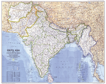
South Asia With Afghanistan and Burma - Published 1984
Two tragic events put India in the world headlines in 1984: the assassination of Prime Minister Indira Gandhi in October, and the Bhopal disaster in December. This map situates India within South Asia, including Afghanistan and Burma. Published in December 1984 as a companion to the "Peoples of South Asia" map and an article on monsoons.
Page Size: 28.5 x 22.75 in (720 x 575 mm)
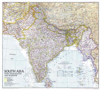
South Asia with Afghanistan and Myanmar - Published 1997
This map of South Asia contains extraordinary detail including points of interest, dams, and ruins in addition to cities and geographical features. Published in May 1997 as half of a two–map set with an educational map of India and the article "India: Fifty Years of Independence."
Page Size: 23 x 20.5 in (579 x 519 mm)
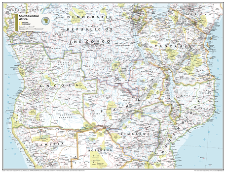
South Central Africa - Atlas of the World, 11th Edition
This South Central Africa map of physical and political features can fit in any space. Showcasing the region in stunning detail with state-of-the-art cartographic techniques delivering accuracy and exceptional quality, the innovative and engaging design makes the content easily accessible and user-friendly.
Ideal for classrooms with an emphasis on teaching geography or environmental themes. The inclusion of physical features gives your students a genuine feel for how our world appears.
This map uses a bright, easy to read color palette featuring blue oceans and stunning shaded relief that has been featured on National Geographic wall maps for over 75 years. It is drawn in the Transverse Mercator projection, which is a cylindrical map projection for nautical navigation because it represents lines of constant course.
This map is found in National Geographic's 11th Edition World Atlas and is now available as a stand alone product.
Page Size: 31.5 x 24 in (798 x 610 mm)
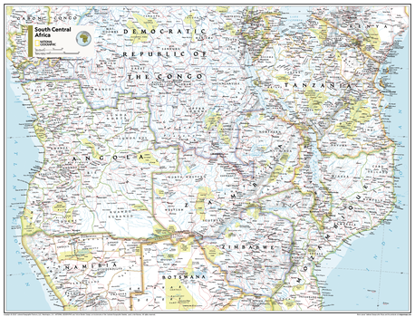
South Central Africa - Atlas of the World, 11th Edition - Compact
This South Central Africa map of physical and political features can fit in any space. Showcasing the region in stunning detail with state-of-the-art cartographic techniques delivering accuracy and exceptional quality, the innovative and engaging design makes the content easily accessible and user-friendly.
Ideal for classrooms with an emphasis on teaching geography or environmental themes. The inclusion of physical features gives your students a genuine feel for how our world appears.
This map uses a bright, easy to read color palette featuring blue oceans and stunning shaded relief that has been featured on National Geographic wall maps for over 75 years. It is drawn in the Transverse Mercator projection, which is a cylindrical map projection for nautical navigation because it represents lines of constant course.
This map is found in National Geographic's 11th Edition World Atlas and is now available as a stand alone product.
Page Size: 21.5 x 16.25 in (540 x 413 mm)
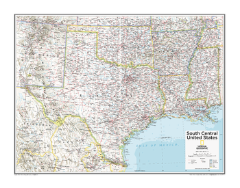
South Central U.S. - Atlas of the World, 10th Edition
Arkansas, Louisiana, Oklahoma, Texas
Page Size: 28 x 22 in (711 x 559 mm)
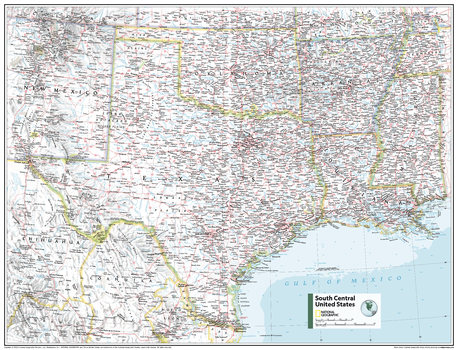
South Central U.S. - Atlas of the World, 11th Edition
This South Central USA map of physical and political features can fit in any space. Showcasing the region in stunning detail with state-of-the-art cartographic techniques delivering accuracy and exceptional quality, the innovative and engaging design makes the content easily accessible and user-friendly.
Ideal for classrooms with an emphasis on teaching geography or environmental themes. The inclusion of physical features gives your students a genuine feel for how our world appears.
This map uses a bright, easy to read color palette featuring blue oceans and stunning shaded relief that has been featured on National Geographic wall maps for over 75 years. It is drawn in the Albers Conic Equal-Area projection, which uses two standard parallels between which distortion is minimized, however scale and shape are not preserved.
This map is found in National Geographic's 11th Edition World Atlas and is now available as a stand alone product.
Page Size: 31.5 x 24 in (798 x 610 mm)
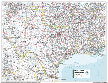
South Central U.S. - Atlas of the World, 11th Edition - Compact
This South Central USA map of physical and political features can fit in any space. Showcasing the region in stunning detail with state-of-the-art cartographic techniques delivering accuracy and exceptional quality, the innovative and engaging design makes the content easily accessible and user-friendly.
Ideal for classrooms with an emphasis on teaching geography or environmental themes. The inclusion of physical features gives your students a genuine feel for how our world appears.
This map uses a bright, easy to read color palette featuring blue oceans and stunning shaded relief that has been featured on National Geographic wall maps for over 75 years. It is drawn in the Albers Conic Equal-Area projection, which uses two standard parallels between which distortion is minimized, however scale and shape are not preserved.
This map is found in National Geographic's 11th Edition World Atlas and is now available as a stand alone product.
Page Size: 21.5 x 16.25 in (540 x 413 mm)
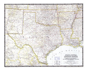
South Central United States - Published 1947
The fifth in a series of six sectional maps of the U.S., the South Central United States map was published in December 1947 and includes the states of Texas, Oklahoma, Arkansas, Louisiana, Mississippi, and much of New Mexico. This map series was printed between 1940 and 1948.
Page Size: 31.25 x 24.75 in (792 x 624 mm)