top of page
South Central United States - Published 1947
National Geographic
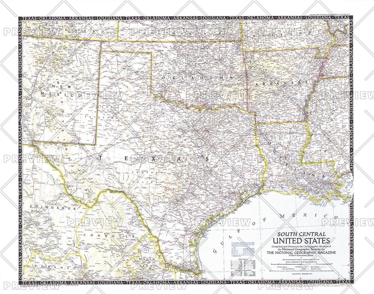
The fifth in a series of six sectional maps of the U.S., the South Central United States map was published in December 1947 and includes the states of Texas, Oklahoma, Arkansas, Louisiana, Mississippi, and much of New Mexico. This map series was printed between 1940 and 1948.
Page Size: 31.25 x 24.75 in (792 x 624 mm)
Buy this map on MapTrove.ca or MapTrove.com
bottom of page