


National Geographic

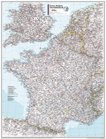
France, Belgium, the Netherlands - Atlas of the World, 11th Edition - Compact
This France, Belgium and the Netherlands map of physical and political features can fit in any space. Showcasing the countries in stunning detail with state-of-the-art cartographic techniques delivering accuracy and exceptional quality, the innovative and engaging design makes the content easily accessible and user-friendly.
Ideal for classrooms with an emphasis on teaching geography or environmental themes. The inclusion of physical features gives your students a genuine feel for how our world appears.
This map uses a bright, easy to read color palette featuring blue oceans and stunning shaded relief that has been featured on National Geographic wall maps for over 75 years. It is drawn in the Albers Conic Equal-Area projection, which uses two standard parallels between which distortion is minimized, however scale and shape is not preserved.
Names of geographic features are carefully placed on the map to maintain legibility. Details on the regions and provinces of these countries add to this classic map.
This map is found in National Geographic's 11th Edition World Atlas and is now available as a stand alone product.
Page Size: 16.25 x 21.5 in (413 x 540 mm)
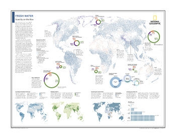
Fresh Water: Scarcity on the Rise - Atlas of the World, 10th Edition
Mapping Fresh Water; Water Withdrawals; Visualizing Groundwater Resources; Mapping Irrigation; Securing Safe Drinking Water; Assessing True Water Use
Page Size: 28 x 22 in (711 x 559 mm)
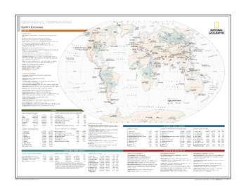
Geographic Comparisons: Earth's Extremes - Atlas of the World, 10th Edition
null
Page Size: 28 x 22 in (711 x 559 mm)
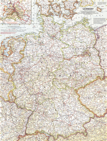
Germany - Published 1959
Germany enjoyed prolonged economic growth in the 1950s, so much so that the term Wirtschaftswunder, meaning "economic miracle", was coined to describe the upturn experienced by the economy after World War II. Discover the thriving, yet divided country of Germany with this detailed map published in June 1959.
Page Size: 19 x 25 in (480 x 631 mm)
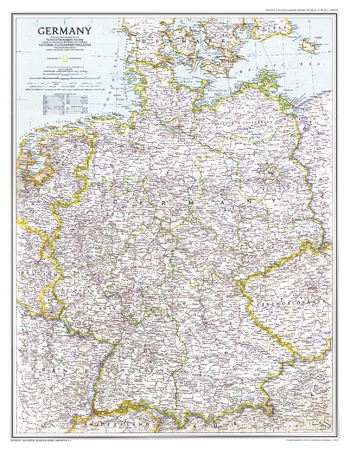
Germany - Published 1991
This map shows the political boundaries of Germany after the fall of the Berlin Wall and the country's reunification after the Cold War. Published in September 1991 with the companion map "Travelers Map of Germany" and the article "The Morning After: Germany Reunited".
Page Size: 20.25 x 26 in (513 x 659 mm)
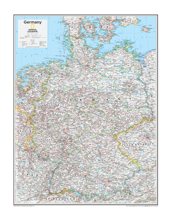
Germany - Atlas of the World, 10th Edition
null
Page Size: 22 x 28 in (559 x 711 mm)
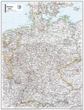
Germany - Atlas of the World, 11th Edition
This Germany map of physical and political features can fit in any space. Showcasing the countries in stunning detail with state-of-the-art cartographic techniques delivering accuracy and exceptional quality, the innovative and engaging design makes the content easily accessible and user-friendly.
Ideal for classrooms with an emphasis on teaching geography or environmental themes. The inclusion of physical features gives your students a genuine feel for how our world appears.
This map uses a bright, easy to read color palette featuring blue oceans and stunning shaded relief that has been featured on National Geographic wall maps for over 75 years. It is drawn in the Albers Conic Equal-Area projection, which uses two standard parallels between which distortion is minimized, however scale and shape is not preserved.
Names of geographic features are carefully placed on the map to maintain legibility.
This map is found in National Geographic's 11th Edition World Atlas and is now available as a stand alone product.
Page Size: 24 x 31.5 in (610 x 798 mm)
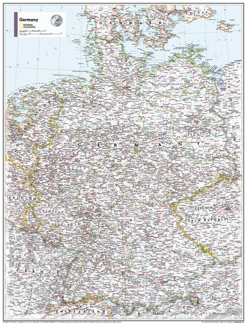
Germany - Atlas of the World, 11th Edition - Compact
This Germany map of physical and political features can fit in any space. Showcasing the countries in stunning detail with state-of-the-art cartographic techniques delivering accuracy and exceptional quality, the innovative and engaging design makes the content easily accessible and user-friendly.
Ideal for classrooms with an emphasis on teaching geography or environmental themes. The inclusion of physical features gives your students a genuine feel for how our world appears.
This map uses a bright, easy to read color palette featuring blue oceans and stunning shaded relief that has been featured on National Geographic wall maps for over 75 years. It is drawn in the Albers Conic Equal-Area projection, which uses two standard parallels between which distortion is minimized, however scale and shape is not preserved.
Names of geographic features are carefully placed on the map to maintain legibility.
This map is found in National Geographic's 11th Edition World Atlas and is now available as a stand alone product.
Page Size: 16.25 x 21.5 in (413 x 540 mm)
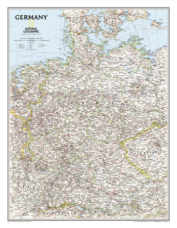
Germany Classic
Complete political detail of Germany - country boundaries, roads and cities, airports, bodies of water, and other geographic details.
Page Size: 23.5 x 30.25 in (597 x 768 mm)
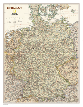
Germany Executive
Our executive style political map of Germany features country boundaries, place names, bodies of water, airports, major highways and roads, and much more.
Page Size: 23.5 x 30.25 in (597 x 768 mm)
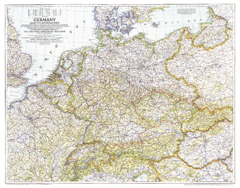
Germany and Its Approaches 1938-1939 - Published 1944
A must-have for those interested in World War II, this informative map was published in July 1944 with an article entitled "Landing Craft for Invasion." This work shows the international boundaries as of Sept. 1, 1939, the day Germany invaded Poland, and boundaries as of Jan. 1, 1938, before Germany seized Austria and Czechoslovakia.
Page Size: 33.75 x 26.5 in (852 x 669 mm)
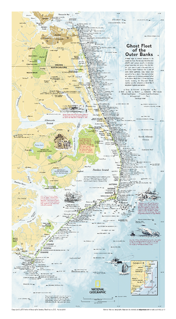
Ghost Fleet of the Outer Banks 1970 Map - Published 2008
Originally printed for the National Geographic Magazine in 1970, this map plots over 500 ill-fated ships that lie forever anchored in the Atlantic coastal sea floor. A classic shipwreck map of one of the graveyards of the Atlantic.
Page Size: 11.75 x 21.25 in (296 x 534 mm)
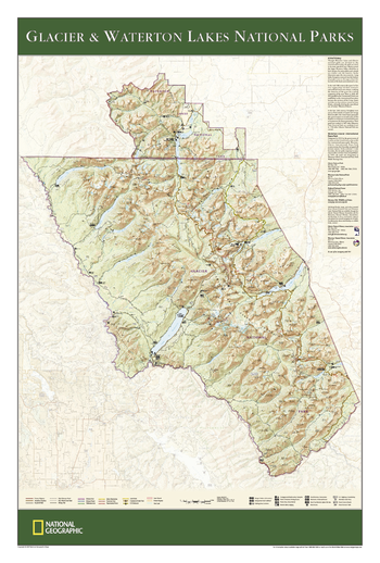
Glacier and Waterton Lakes National Parks
The wall map of Glacier and Waterton Lakes National Parks, based on the popular Trails Illustrated map of the area, provides rich topographic detail to show the Montana and Alberta parks' magnificent scenery, as well as updated trail and road information for the "Crown of the Continent."
Page Size: 24 x 36 in (610 x 914 mm)
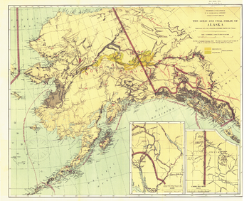
Gold and Coal Fields of Alaska - Published 1898
The Gold and Coal Fields of Alaska map appeared in National Geographic Magazine in April 1898 during the famous Klondike Gold Rush with the article "Alaska and Its Mineral Resources." This work also includes Canada's Klondike region and much of the Yukon Territory. A beautiful historical map and a must-have for collectors.
Page Size: 30.75 x 24.75 in (776 x 628 mm)
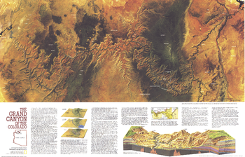
Grand Canyon of Colorado - Published 1978
The Grand Canyon of Colorado map features a striking Landsat satellite image and a cross-section illustrating the geological layers of the canyon. Published in July 1978, this map is half of a two-map set. Its companion is entitled "The Heart of the Grand Canyon" and both maps appeared with two articles on the park.
Page Size: 35 x 22.5 in (887 x 568 mm)
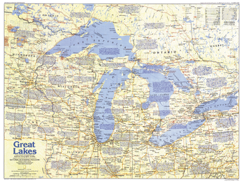
Great Lakes Map Side 1 - Published 1987
Comprised of Lake Superior, Lake Michigan, Lake Huron, Lake Erie, and Lake Ontario, the Great Lakes are the largest group of freshwater lakes on earth. This map of the Great Lakes region, which abuts both Canada and the United States, contains a vast amount of historical information, as well as tourist attractions. Published in July 1987 as part of the "Making of America" series.
Page Size: 27.25 x 20.5 in (687 x 516 mm)
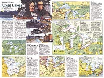
Great Lakes Map Side 2 - Published 1987
A maritime world in the heart of a continent, the Great Lakes have a long history of trade, immigration, agriculture, and industry. Published in July 1987, this map of the Great Lakes is half of a two-map set in the "Making of America" series. From the early days of the fur trade to Detroit's auto industry, this educational map provides a wealth of information on this fascinating region.
Page Size: 27.25 x 20.5 in (687 x 516 mm)
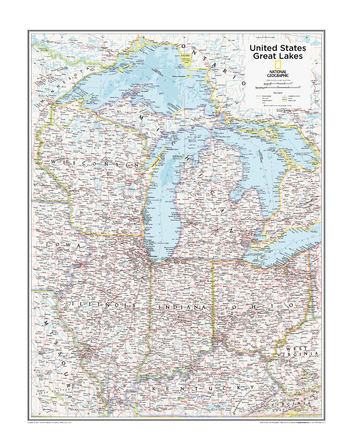
Great Lakes U.S. - Atlas of the World, 10th Edition
Illinois, Indiana, Kentucky, Michigan, Ohio, Wisconsin
Page Size: 22 x 28 in (559 x 711 mm)
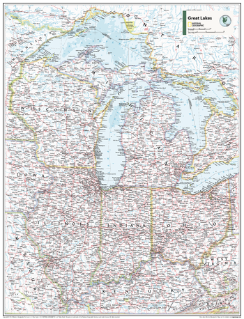
Great Lakes U.S. - Atlas of the World, 11th Edition
This Great Lakes regional map of physical and political features can fit in any space. Showcasing the region in stunning detail with state-of-the-art cartographic techniques delivering accuracy and exceptional quality, the innovative and engaging design makes the content easily accessible and user-friendly.
Ideal for classrooms with an emphasis on teaching geography or environmental themes. The inclusion of physial features gives your students a genuine feel for how our world appears.
This map uses a bright, easy to read color palette featuring blue oceans and stunning shaded relief that has been featured on National Geographic wall maps for over 75 years. It is drawn in the Albers Conic Equal-Area projection, which uses two standard parallels between which distortion is minimized, however scale and shape are not preserved.
This map is found in National Geographic's 11th Edition World Atlas and is now available as a stand alone product.
Page Size: 24 x 31.5 in (610 x 798 mm)
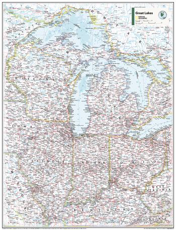
Great Lakes U.S. - Atlas of the World, 11th Edition - Compact
This Great Lakes regional map of physical and political features can fit in any space. Showcasing the region in stunning detail with state-of-the-art cartographic techniques delivering accuracy and exceptional quality, the innovative and engaging design makes the content easily accessible and user-friendly.
Ideal for classrooms with an emphasis on teaching geography or environmental themes. The inclusion of physical features gives your students a genuine feel for how our world appears.
This map uses a bright, easy to read color palette featuring blue oceans and stunning shaded relief that has been featured on National Geographic wall maps for over 75 years. It is drawn in the Albers Conic Equal-Area projection, which uses two standard parallels between which distortion is minimized, however scale and shape are not preserved.
This map is found in National Geographic's 11th Edition World Atlas and is now available as a stand alone product.
Page Size: 16.25 x 21.5 in (413 x 540 mm)