top of page
Great Lakes Map Side 2 - Published 1987
National Geographic
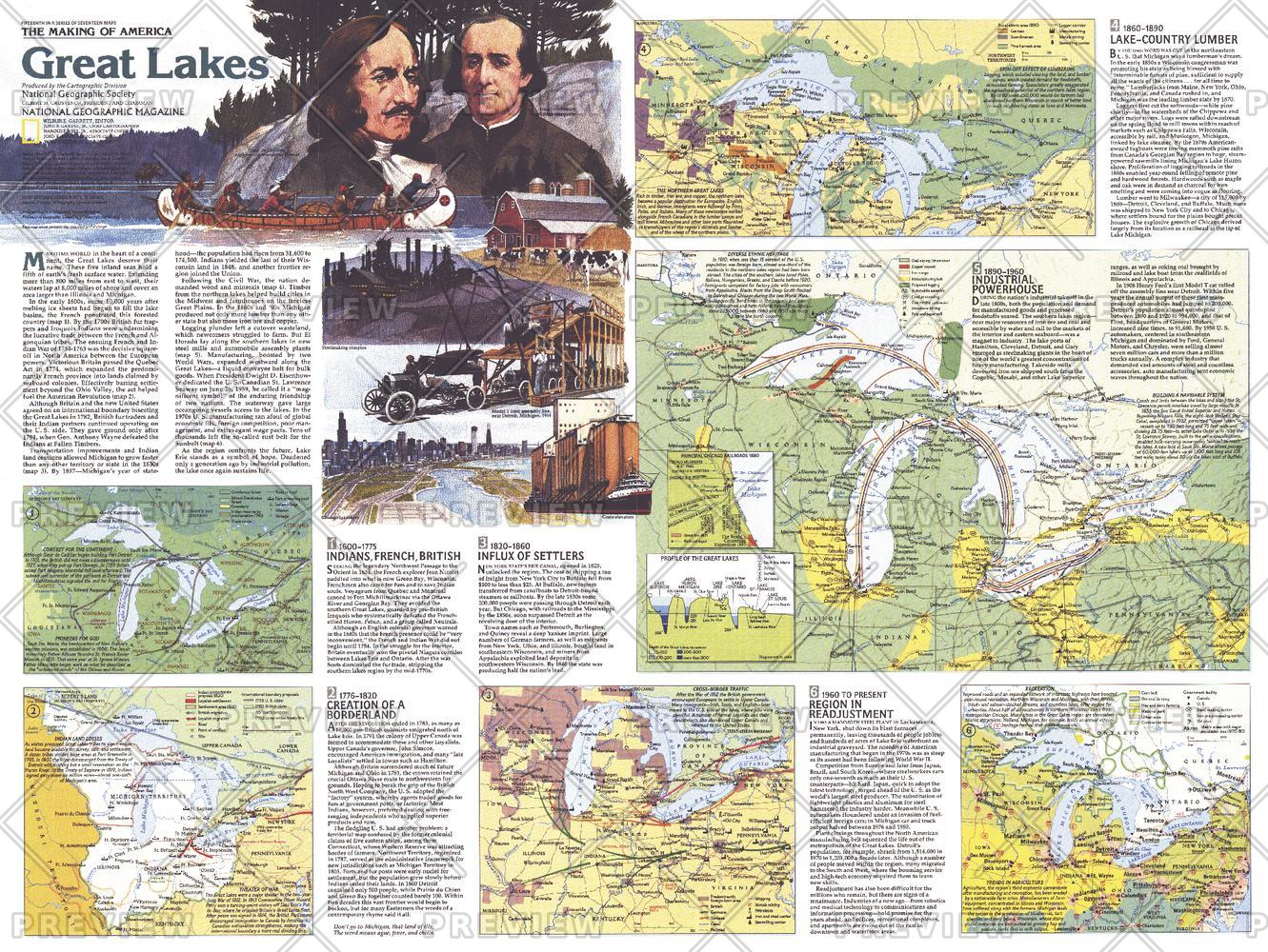
A maritime world in the heart of a continent, the Great Lakes have a long history of trade, immigration, agriculture, and industry. Published in July 1987, this map of the Great Lakes is half of a two-map set in the "Making of America" series. From the early days of the fur trade to Detroit's auto industry, this educational map provides a wealth of information on this fascinating region.
Page Size: 27.25 x 20.5 in (687 x 516 mm)
Buy this map on MapTrove.ca or MapTrove.com
bottom of page