top of page


Great Lakes Map Side 1 - Published 1987
National Geographic
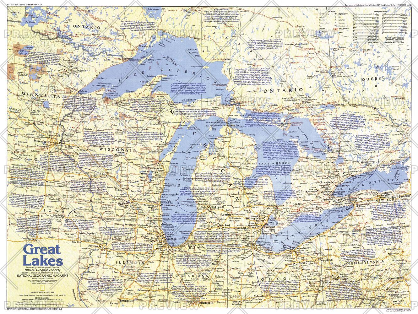
Comprised of Lake Superior, Lake Michigan, Lake Huron, Lake Erie, and Lake Ontario, the Great Lakes are the largest group of freshwater lakes on earth. This map of the Great Lakes region, which abuts both Canada and the United States, contains a vast amount of historical information, as well as tourist attractions. Published in July 1987 as part of the "Making of America" series.
Page Size: 27.25 x 20.5 in (687 x 516 mm)
Buy this map on MapTrove.ca or MapTrove.com
bottom of page