


National Geographic

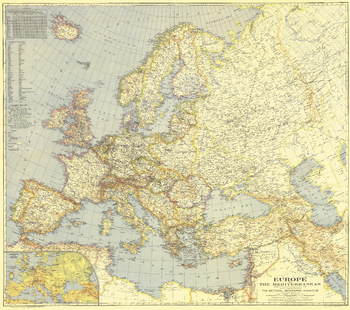
Europe and the Mediterranean - Published 1938
Published in April 1938, this map of Europe and the Mediterranean is a snapshot of the region prior to World War II. A unique feature of this map and others of its era is the list of country names in English as well as the national language.
Page Size: 38.25 x 34 in (968 x 857 mm)
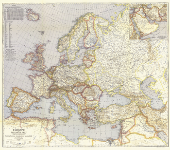
Europe and the Near East - Published 1940
Published in May 1940, this map of Europe and the Near East shows international boundaries as of April 1, 1940. An inset of the Middle East provides detail of the Asian countries adjacent to Europe.
Page Size: 38.75 x 34 in (979 x 863 mm)
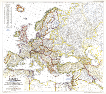
Europe and the Near East - Published 1949
A striking rendering of post-war Europe, this map is unique in its lack of ocean color. Colorful borders leap off the white page projecting an optimistic tone. Published in June 1949 with the article "Italy Smiles Again," this map shows American, British, French, and Russian occupational zones in Germany and Austria.
Page Size: 32 x 28.5 in (808 x 718 mm)
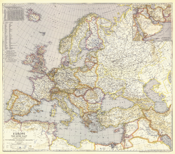
Europe, and the Near East - Published 1943
Published in June 1943, this map of Europe and the Near East features distances from European ports to other world ports. An inset of the Middle East provides detail of the Asian countries adjacent to Europe.
Page Size: 38.75 x 34 in (983 x 862 mm)
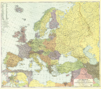
Europe, and the Near East - Published 1929
This colorful map was published in December 1929 with three articles on Europe and the Near East including "The Danube, Highway of Races." An inset map of airways is included, showing commercial air travel in its infancy.
Page Size: 38.5 x 34.25 in (977 x 864 mm)
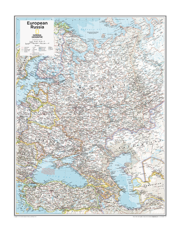
European Russia - Atlas of the World, 10th Edition
Belarus, Russia, Ukraine
Page Size: 22 x 28 in (559 x 711 mm)
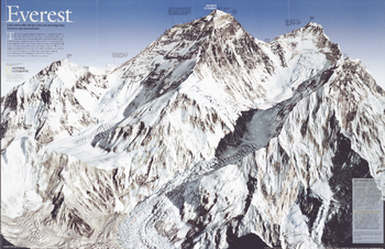
Everest - Published 2003
In the old days mapping required thousands of measurements by hand with theodolite and transit. This striking map of Mount Everest, created a half century after the first climb, was built on millions of measurements, but none made by hand. The space shuttle recorded infrared images for reference; then a jet aircraft took stereophotographs, which were converted to digital data and merged by computer to create the sharpest, most accurate image yet of the great mountain. Published in May 2003, this map was half of a two-piece set with "Everest 50."
Page Size: 21 x 13.5 in (528 x 342 mm)
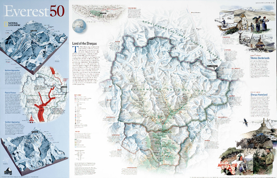
Everest 50 - Published 2003
A half century after the first climb, National Geographic produced this stunning map of Mount Everest and the surrounding region including Sagarmatha National Park, Qomolangma National Nature Reserve, and Makalu-Barun National Park. Published in May 2003 as half of a two-piece set with a poster map of Mount Everest, this map's focus is on the challenges facing the governments of Tibet and Nepal as they work to protect their environment. A surge of visitors in recent decades has raised alarms about the fate of the region's landscape and people. Both have proven to be resilient enough, so far, to withstand the crush of their popularity.
Page Size: 21.5 x 14 in (543 x 350 mm)
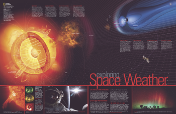
Exploring Space Weather - Published 2004
Published in July 2004 as half of a two-piece set with "New Views of Our Sun," this informative map features a striking graphic of the sun, revealing the core, radiation zone, magnetic lines, photosphere, sunspots, chromosphere, and corona, as well as the high-energy protons, x-rays, and UV rays that bombard the Earth. A wealth of information and fascinating photographs present a better understanding of the space weather created by the sun's continual eruptions and their effect on our planet.
Page Size: 31.25 x 20.25 in (790 x 511 mm)
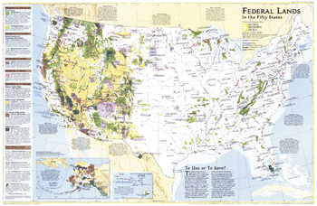
Federal Lands in the Fifty States - Published 1996
Considered by many to be the finest map of United States federal lands ever published. This map shows which land areas are controlled by each federal agency, and describes how each land type is managed. Published in October 1996 as a companion to "United States, the Physical Landscape."
Page Size: 31.5 x 20.5 in (795 x 517 mm)
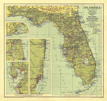
Florida - Published 1930
This Florida map was published in National Geographic Magazine in January 1930 with the article "Florida - The Fountain of Youth." Insets maps provide further detail in this early depiction of the Sunshine State.
Page Size: 13.25 x 12.5 in (333 x 315 mm)
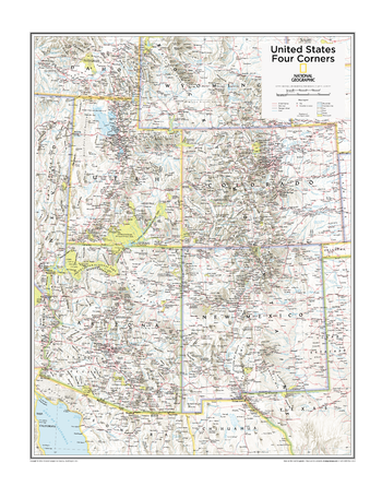
Four Corners U.S. - Atlas of the World, 10th Edition
Arizona, Colorado, New Mexico, Utah
Page Size: 22 x 28 in (559 x 711 mm)
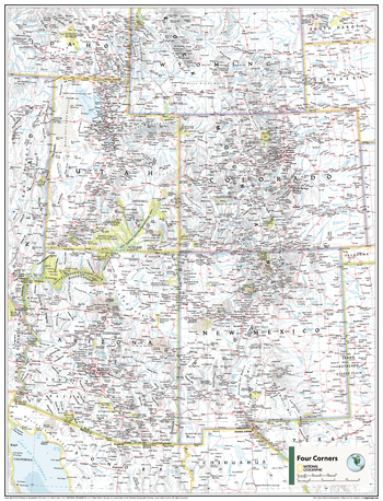
Four Corners U.S. - Atlas of the World, 11th Edition
This Four Corners USA map of physical and political features can fit in any space. Showcasing the region in stunning detail with state-of-the-art cartographic techniques delivering accuracy and exceptional quality, the innovative and engaging design makes the content easily accessible and user-friendly.
Ideal for classrooms with an emphasis on teaching geography or environmental themes. The inclusion of physical features gives your students a genuine feel for how our world appears.
This map uses a bright, easy to read color palette featuring blue oceans and stunning shaded relief that has been featured on National Geographic wall maps for over 75 years. It is drawn in the Albers Conic Equal-Area projection, which uses two standard parallels between which distortion is minimized, however scale and shape are not preserved.
This map is found in National Geographic's 11th Edition World Atlas and is now available as a stand alone product.
Page Size: 24 x 31.5 in (610 x 798 mm)
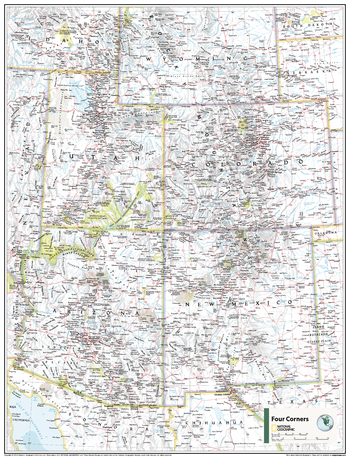
Four Corners U.S. - Atlas of the World, 11th Edition - Compact
This Four Corners USA map of physical and political features can fit in any space. Showcasing the region in stunning detail with state-of-the-art cartographic techniques delivering accuracy and exceptional quality, the innovative and engaging design makes the content easily accessible and user-friendly.
Ideal for classrooms with an emphasis on teaching geography or environmental themes. The inclusion of physical features gives your students a genuine feel for how our world appears.
This map uses a bright, easy to read color palette featuring blue oceans and stunning shaded relief that has been featured on National Geographic wall maps for over 75 years. It is drawn in the Albers Conic Equal-Area projection, which uses two standard parallels between which distortion is minimized, however scale and shape are not preserved.
This map is found in National Geographic's 11th Edition World Atlas and is now available as a stand alone product.
Page Size: 16.25 x 21.5 in (413 x 540 mm)
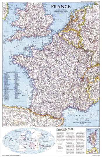
France - Published 1989
National Geographic celebrated the bicentennial of the French Revolution in July 1989 by devoting the entire issue to France. This detailed map political map of the country appeared as a companion to the "Historical France" map.
Page Size: 20.5 x 31.5 in (517 x 797 mm)
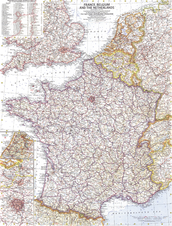
France, Belgium and the Netherlands - Published 1960
This detailed map of France, Belgium and the Netherlands is unique in its focus on these three particular countries. Features a list of the "départements", or administrative divisions, for each country and their capitals. Includes inset maps of Paris, Amsterdam, and Brussels. Published in June 1960.
Page Size: 19 x 25 in (480 x 631 mm)
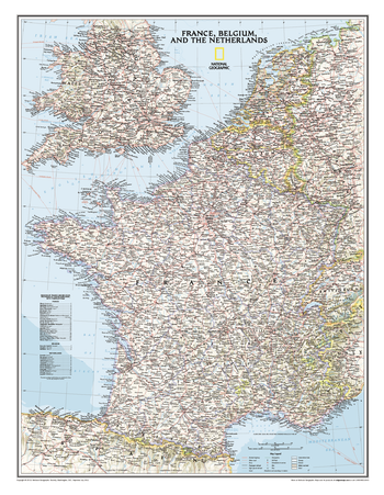
France, Belgium, and The Netherlands Classic
Classic wall map of France, Belgium, and the Netherlands shows political boundaries, major highways and roads, cities and towns, national parks, and a wealth of other accurate geographic detail.
Page Size: 23.5 x 30.25 in (597 x 768 mm)
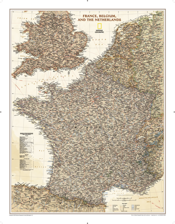
France, Belgium, and The Netherlands Executive
Our executive style political map of France, Belgium, and the Netherlands features country boundaries, place names, bodies of water, airports, major highways and roads, and much more.
Page Size: 24.25 x 31 in (612 x 783 mm)
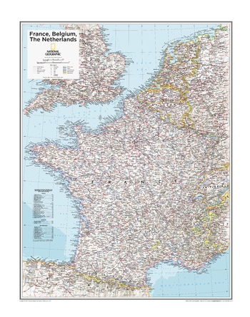
France, Belgium, the Netherlands - Atlas of the World, 10th Edition
null
Page Size: 22 x 28 in (559 x 711 mm)
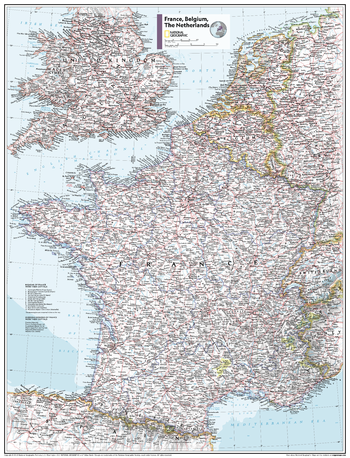
France, Belgium, the Netherlands - Atlas of the World, 11th Edition
This France, Belgium and the Netherlands map of physical and political features can fit in any space. Showcasing the countries in stunning detail with state-of-the-art cartographic techniques delivering accuracy and exceptional quality, the innovative and engaging design makes the content easily accessible and user-friendly.
Ideal for classrooms with an emphasis on teaching geography or environmental themes. The inclusion of physical features gives your students a genuine feel for how our world appears.
This map uses a bright, easy to read color palette featuring blue oceans and stunning shaded relief that has been featured on National Geographic wall maps for over 75 years. It is drawn in the Albers Conic Equal-Area projection, which uses two standard parallels between which distortion is minimized, however scale and shape is not preserved.
Names of geographic features are carefully placed on the map to maintain legibility. Details on the regions and provinces of these countries add to this classic map.
This map is found in National Geographic's 11th Edition World Atlas and is now available as a stand alone product.
Page Size: 24 x 31.5 in (610 x 798 mm)