top of page
France, Belgium and the Netherlands - Published 1960
National Geographic
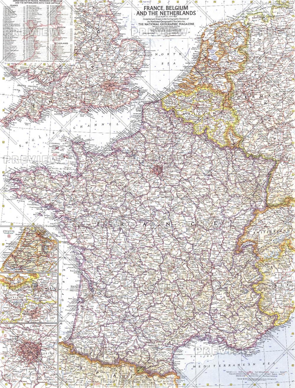
This detailed map of France, Belgium and the Netherlands is unique in its focus on these three particular countries. Features a list of the "départements", or administrative divisions, for each country and their capitals. Includes inset maps of Paris, Amsterdam, and Brussels. Published in June 1960.
Page Size: 19 x 25 in (480 x 631 mm)
Buy this map on MapTrove.ca or MapTrove.com
bottom of page