top of page
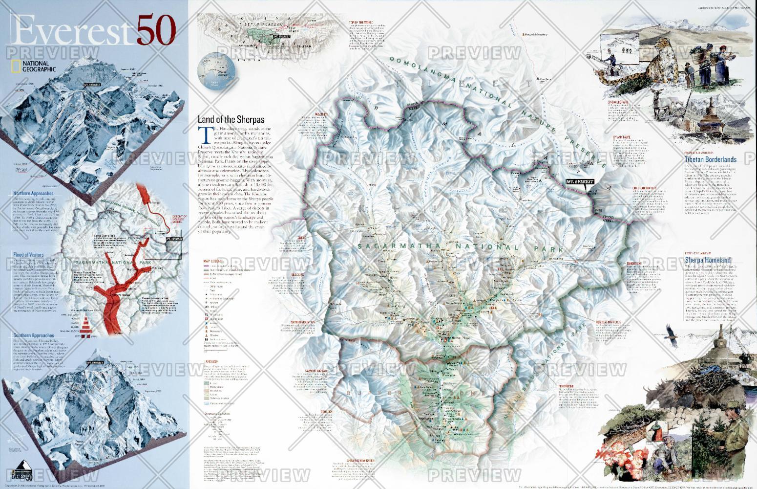
Everest 50 - Published 2003
National Geographic
A half century after the first climb, National Geographic produced this stunning map of Mount Everest and the surrounding region including Sagarmatha National Park, Qomolangma National Nature Reserve, and Makalu-Barun National Park. Published in May 2003 as half of a two-piece set with a poster map of Mount Everest, this map's focus is on the challenges facing the governments of Tibet and Nepal as they work to protect their environment. A surge of visitors in recent decades has raised alarms about the fate of the region's landscape and people. Both have proven to be resilient enough, so far, to withstand the crush of their popularity.
Page Size: 21.5 x 14 in (543 x 350 mm)
Buy this map on MapTrove.ca or MapTrove.com

bottom of page


