top of page
Europe and the Near East - Published 1940
National Geographic
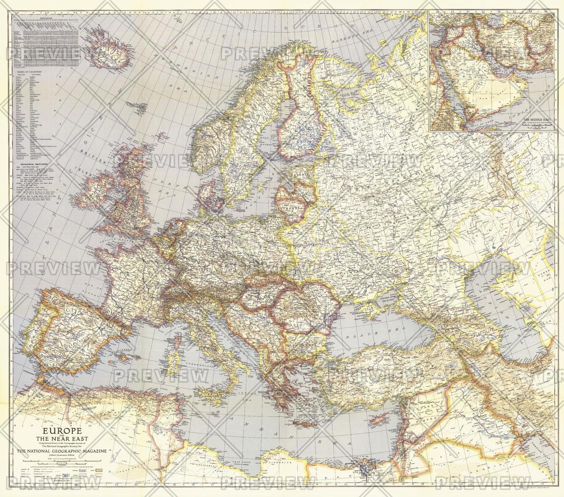
Published in May 1940, this map of Europe and the Near East shows international boundaries as of April 1, 1940. An inset of the Middle East provides detail of the Asian countries adjacent to Europe.
Page Size: 38.75 x 34 in (979 x 863 mm)
Buy this map on MapTrove.ca or MapTrove.com
bottom of page