


MapSherpa Catalog
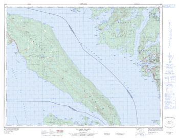
Texada Island - 92 F/9 - British Columbia
Natural Resources Canada
Canadian topographic map of Texada Island, British Columbia. NTS sheet 092F09 Edition 2.
Page Size: 33.5 x 25.75 in (846 x 652 mm)
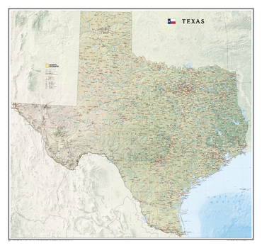
Texas
National Geographic
National Geographic's wall map of Texas brings the rich and diverse topography of the state to life in elegant detail. Mountain ranges, prominent peaks, major lakes, rivers, and reservoirs, and other geographic features are highlighted. In addition to hundreds of place names, this map includes the precise locations of cities, major roadways and railways, airports, military bases, and national and state parks. Stunning shaded relief and vibrant colorization distinguishes mountain ranges, forests, deserts, valleys, and other physical topography including a portion of the Gulf of Mexico. The Texas portion of the Intracoastal Waterway is shown from Brownsville to the Louisiana border. Part of a growing series of State Wall Maps, this expertly designed map makes an attractive addition to any office or study.
Page Size: 40.75 x 38.5 in (1035 x 978 mm)
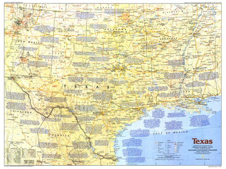
Texas - Published 1986
National Geographic
This map of Texas, the second largest state in the United States, includes information about its major cities and notes about key sites during its exciting history. Published in March 1986 as part of the "Making of America" series.
Page Size: 27.25 x 20.5 in (690 x 518 mm)
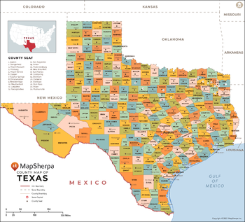
Texas Counties Map - Extra Large
MapSherpa
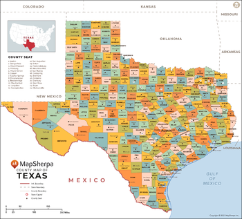
This map has been created exclusively for MapSherpa, and designed for reference or business use. Clear and clean colors & fonts matched with cartographic research makes this map of Texas Counties Map easily readable and useful. The map shows the 254 counties of Texas and their borders across the Lone Star State.
Page Size: 60 x 54.5 in (1524 x 1380 mm)
Texas Counties Map - Large
MapSherpa
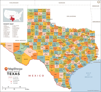
This map has been created exclusively for MapSherpa, and designed for reference or business use. Clear and clean colors & fonts matched with cartographic research makes this map of Texas Counties Map easily readable and useful. The map shows the 254 counties of Texas and their borders across the Lone Star State.
Page Size: 48 x 43.5 in (1219 x 1104 mm)
Texas Counties Map - Standard
MapSherpa
This map has been created exclusively for MapSherpa, and designed for reference or business use. Clear and clean colors & fonts matched with cartographic research makes this map of Texas Counties Map easily readable and useful. The map shows the 254 counties of Texas and their borders across the Lone Star State.
Page Size: 36 x 32.75 in (914 x 828 mm)
Texas Louisiana Arkansas Mississippi
Sparrow Maps
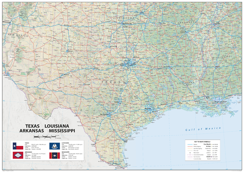
A detailed physical map of Texas, Louisiana, Arkansas and Mississippi, USA, with land cover and relief features and including National Parks showing administrative divisions, state capitals, county seats and other settlements, roads and airports. The state flag, area and population are included for each state. One of a series of attractive maps of US states giving a comprehensive overview.
Page Size: 33.25 x 23.5 in (841 x 594 mm)
Texas Recreation Wall Map
Benchmark Maps
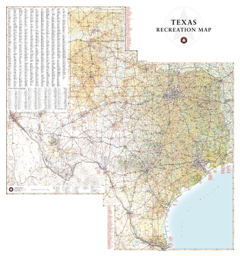
Texas has a reputation for big country, big cities, and Big Bend National Park. This wall map illustrates the vast countryside and recreation attractions throughout The Lone Star State, from Gulf Coast and fields of Blue Bonnets in the east to the panhandle’s Palo Duro Canyon and the Guadalupe Mountains in the west.
Page Size: 28 x 30 in (711 x 757 mm)
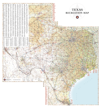
Texas Recreation Wall Map – 26 inch
Benchmark Maps
Texas has a reputation for big country, big cities, and Big Bend National Park. This wall map illustrates the vast countryside and recreation attractions throughout The Lone Star State, from Gulf Coast and fields of Blue Bonnets in the east to the panhandle’s Palo Duro Canyon and the Guadalupe Mountains in the west.
Page Size: 26 x 28 in (660 x 708 mm)
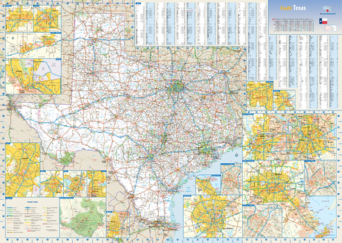
Texas State Wall Map
Globe Turner
This colorful, easy-to-read state map of Texas identifies all major thoroughfares, secondary roads, freeway interchanges, rest areas, distance markers, landmarks, recreational areas, and more. Shaded relief on the state map provides a three-dimensional sense of Texas' topography. Detailed city inset maps of Abilene, Amarillo, Austin, Beaumont, Corpus Christi, Dallas / Fort Worth, El Paso, Houston / Galveston, Laredo, Lubbock, McAllen, Odessa / Midland, San Antonio, Texarkana, and Waco are based on the latest street information from our cartographic experts. The map also includes up-to-date insets of downtown Dallas, downtown Houston, downtown San Antonio, and Big Bend National Park. County and city indices make it simple to locate even the smallest town.
Page Size: 34.5 x 24.75 in (876 x 622 mm)
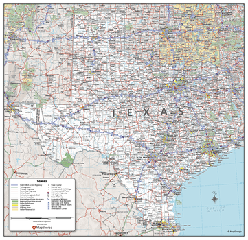
Texas State Wall Map - Compact
MapSherpa
This detailed wall map of Texas is perfect for both educational and business purposes. The easy-to-read map features vibrant colors and clear labeling of cities, counties, highways, and geographical features. All national and state highways that connect the state are all clearly labelled on the map, while the legend notes the different road and land use classifications such as urban, park, military, and many more. The boundaries of each county in the state are defined and named clearly. Whether you are a student, teacher, business person or geography enthusiast, this map is a valuable addition to any space.
Page Size: 16 x 15.5 in (406 x 394 mm)
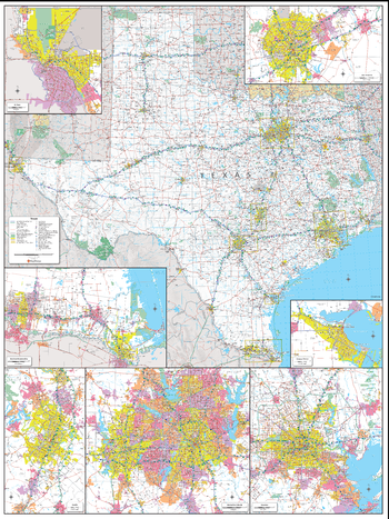
Texas State Wall Map - Extra Large
MapSherpa
This detailed wall map of Texas is perfect for both educational and business purposes. The easy-to-read map features vibrant colors and clear labeling of cities, counties, highways, and geographical features. All national and state highways that connect the state are all clearly labelled on the map, while the legend notes the different road and land use classifications such as urban, park, military, and many more. The boundaries of each county in the state are defined and named clearly. Whether you are a student, teacher, business person or geography enthusiast, this map is a valuable addition to any space.
Page Size: 45 x 60 in (1143 x 1524 mm)
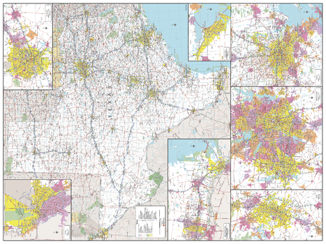
Texas State Wall Map - Large
MapSherpa
This detailed wall map of Texas is perfect for both educational and business purposes. The easy-to-read map features vibrant colors and clear labeling of cities, counties, highways, and geographical features. All national and state highways that connect the state are all clearly labelled on the map, while the legend notes the different road and land use classifications such as urban, park, military, and many more. The boundaries of each county in the state are defined and named clearly. Whether you are a student, teacher, business person or geography enthusiast, this map is a valuable addition to any space.
Page Size: 48 x 36 in (1219 x 914 mm)
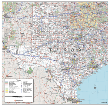
Texas State Wall Map - Poster
MapSherpa
This detailed wall map of Texas is perfect for both educational and business purposes. The easy-to-read map features vibrant colors and clear labeling of cities, counties, highways, and geographical features. All national and state highways that connect the state are all clearly labelled on the map, while the legend notes the different road and land use classifications such as urban, park, military, and many more. The boundaries of each county in the state are defined and named clearly. Whether you are a student, teacher, business person or geography enthusiast, this map is a valuable addition to any space.
Page Size: 27 x 26 in (686 x 660 mm)
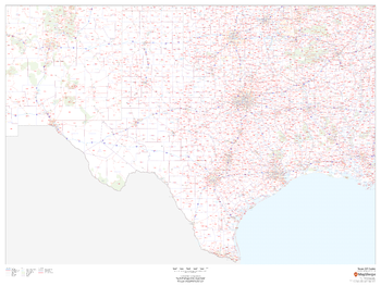
Texas ZIP Code Map
MapSherpa
This map of Texas shows ZIP codes overlaid on a road map. Base map features include county boundaries, major road network features, and state and national parks and conservation areas.
Page Size: 48 x 36 in (1219 x 914 mm)
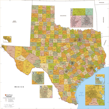
Texas ZIP Code Map with Counties - Extra Large
MapSherpa
This map has been created exclusively for MapSherpa, and designed for business or reference use. Clear and clean colors & fonts matched with cartographic research makes this Texas Zip Code Map with Counties easily readable and useful. The map shows the 254 counties of Texas and the borders of the over 1,900 zip codes across the Lone Star State.
Page Size: 60 x 60 in (1524 x 1524 mm)
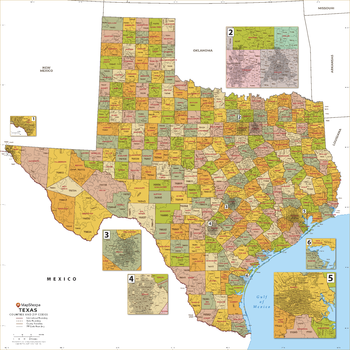
Texas ZIP Code Map with Counties - Large
MapSherpa
This map has been created exclusively for MapSherpa, and designed for business or reference use. Clear and clean colors & fonts matched with cartographic research makes this Texas Zip Code Map with Counties easily readable and useful. The map shows the 254 counties of Texas and the borders of the over 1,900 zip codes across the Lone Star State.
Page Size: 48 x 48 in (1219 x 1219 mm)
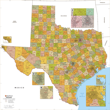
Texas ZIP Code Map with Counties - Standard
MapSherpa
This map has been created exclusively for MapSherpa, and designed for business or reference use. Clear and clean colors & fonts matched with cartographic research makes this Texas Zip Code Map with Counties easily readable and useful. The map shows the 254 counties of Texas and the borders of the over 1,900 zip codes across the Lone Star State.
Page Size: 36 x 36 in (914 x 914 mm)
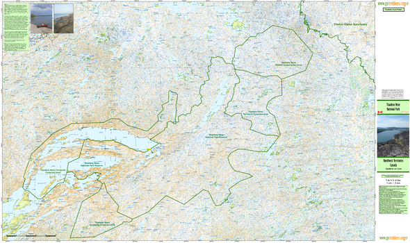
Thaidene Nene National Park
GoTrekkers
Thaidene Nene National Park
Page Size: 54.75 x 32.5 in (1386 x 823 mm)
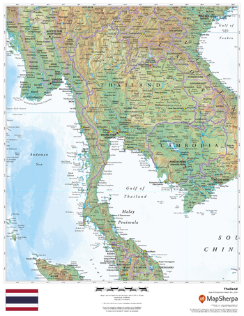
Thailand
MapSherpa
This beautiful map shows physical and political features for Thailand and surrounding areas. Relief shading and the use of different colours by height above sea level are both informative and attractive.
Page Size: 17 x 22 in (432 x 559 mm)
No search results