top of page
Texas
National Geographic
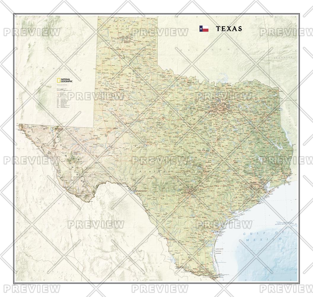
The Texas State Wall Map, part of our growing series of State Wall Maps, depicts Texas' diverse terrain and vegetation. Contains hundreds of place names and precise locations of cities, major roadways and railways, airports, federal and state parks and protected areas, mountain ranges and prominent peaks, ocean bathymetry, military installations, major lakes, rivers and reservoirs, and other geographic features.
Page Size: 41 x 38.75 in (1037 x 980 mm)
Buy this map on MapTrove.ca or MapTrove.com
bottom of page