


MapSherpa Catalog
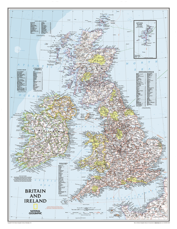
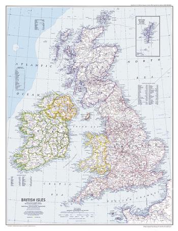
Britain and Ireland Classic
National Geographic
Our classic political map of Britain and Ireland shows country boundaries, thousands of place names, major highways and roads, airports, bodies of water, national parks, and more. Includes England, Ireland , Scotland, and Wales, along with Normandy across the English Channel and an inset map of the Shetland Islands.
Page Size: 23.5 x 30.25 in (597 x 768 mm)
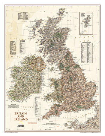
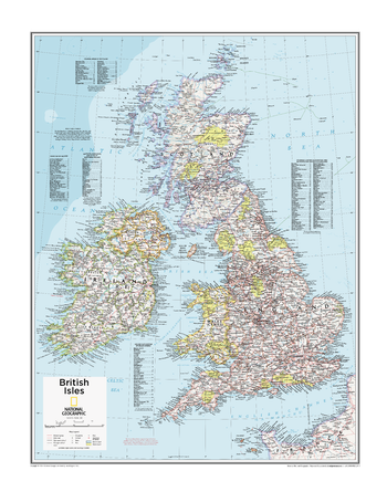
Britain and Ireland Executive
National Geographic
Our executive style political map of Britain and Ireland features country boundaries, place names, bodies of water, airports, major highways and roads, and much more.
Page Size: 23.5 x 30.25 in (597 x 768 mm)
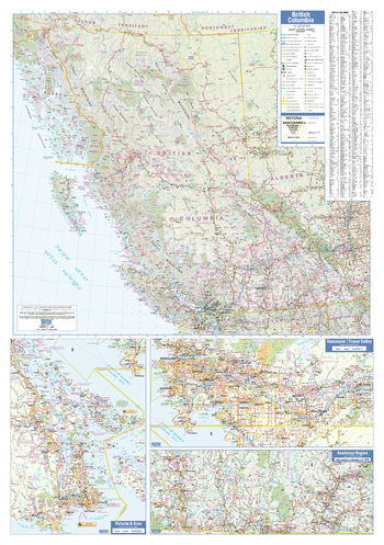
British Columbia Wall Map
Lucidmap
This wall map has been designed to show important features in British Columbia, including all highways, cities and towns, major parks, political boundaries, and points of interest.
The map has been designed with a traditional Canadian style embraced by map buyers over many years.
Page Size: 28 x 40 in (711 x 1016 mm)
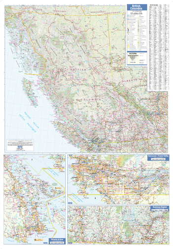
British Columbia Wall Map - Large
Lucidmap
This large wall map has been designed to show important features in British Columbia, including all highways, cities and towns, major parks, political boundaries, and points of interest.
The map has been designed with a traditional Canadian style embraced by map buyers over many years.
Page Size: 37.5 x 54 in (953 x 1372 mm)
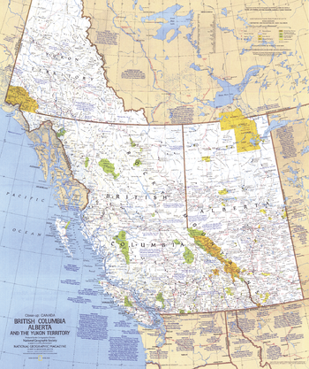
British Columbia, Alberta and the Yukon Territory - Published 1978
National Geographic
This travel map of the Canadian provinces of British Columbia, Alberta and the Yukon Territory shows hundreds of national parks, wilderness areas, campgrounds and ski resorts. It also highlights points of interest in cities such as Vancouver, Victoria, Edmonton, and Dawson. Published in April 1978.
Page Size: 22.75 x 27 in (575 x 686 mm)
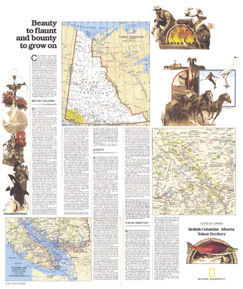
British Columbia, Alberta and the Yukon Territory Theme - Published 1978
National Geographic
Published in April 1978 as half of a two-map set showcasing Canada's western provinces, the "British Columbia, Alberta, Yukon Territory: Beauty to Flaunt and Bounty to Grown On" map provides a remarkable amount of information about the history and unique sites which make the region a popular tourist destination. Together, the two maps accompanied the article "Yukon Fever: Call of the North."
Page Size: 22.75 x 27 in (575 x 686 mm)
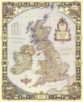
British Isles - Published 1949
National Geographic
With its elaborate, illustrated border and stylish legend, this map of the British Isles was made for framing. Published in April 1949, it is both a work of art as well as an informative map, containing an abundance of places of interest including cathedrals, ruins, battlefields, and more.
Page Size: 26.5 x 32.5 in (670 x 820 mm)
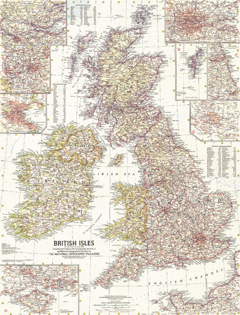
British Isles - Published 1958
National Geographic
This map of the British Isles includes detailed insets of major cities as well as the Isle of Wight and the Shetland Islands. Includes counties and their abbreviations. Published in July 1958.
Page Size: 19 x 25 in (481 x 631 mm)
British Isles - Published 1979
National Geographic
This attractive modern map of the British Isles includes ferry routes along with places of interest such as ruins and battle sites. Published in October 1979 as a companion to the historical map "Medieval England".
Page Size: 22.75 x 29.5 in (576 x 743 mm)
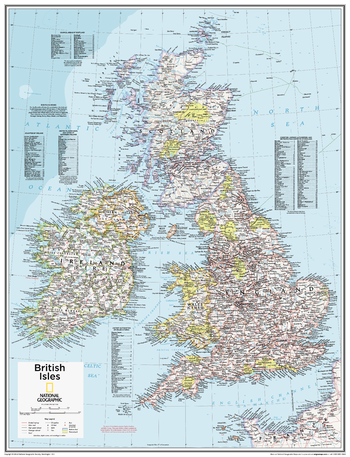
British Isles - Atlas of the World, 10th Edition
National Geographic
null
Page Size: 22 x 28 in (559 x 711 mm)
British Isles - Atlas of the World, 10th Edition – Compact
National Geographic
This British Isles map of physical and political features can fit in any space. Showcasing the country and surrounding regions in stunning detail with state-of-the-art cartographic techniques delivering accuracy and exceptional quality, the innovative and engaging design makes the content easily accessible and user-friendly. Ideal for classrooms with an emphasis on teaching geography or environmental themes. The inclusion of physical features gives your students a genuine feel for how our world appears. This map uses a bright, easy to read color palette featuring blue oceans and stunning shaded relief that has been featured on National Geographic wall maps for over 75 years. It is drawn in a Polyconic projection, where the parallels are all non-concentric circular arcs. Names of geographic features are carefully placed on the map to maintain legibility. An inset of the Shetland Islands and details on the counties, districts and boroughs of both Britain and Ireland add details to this classic map. National Geographic's maps are the standard by which all other reference maps are measured. The maps are meticulously researched and adhere to National Geographic's convention of making independent, apolitical decisions based on extensive research using multiple authoritative sources. This map is found in National Geographic's 10th Edition World Atlas, published to mark the 100th anniversary of National Geographic Cartography, and is now available as a stand alone product.
Page Size: 16 x 21 in (406 x 531 mm)

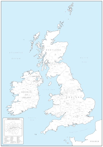
British Isles Administrative Map
Maps International
Administrative map from Maps International's British Isles map range. Administrative map details: Shows counties and unitary authorities in different colours. Boroughs and districts are also shown on this map as well as towns and cities. Contains a small British Isles postcode areas map as well as population details.
Page Size: 33.25 x 47 in (841 x 1189 mm)
British Isles Counties and Regions Colouring Map - Big
Cosmographics
Make learning fun and be creative. Buy this British Isles map as a gift or to colour in yourself and learn the counties at the same time.
Page Size: 19.5 x 27.75 in (492 x 700 mm)

British Isles Counties and Regions Colouring Map - Large
Cosmographics
Make learning fun and be creative. Buy this British Isles map as a gift or to colour in yourself and learn the counties at the same time.
Page Size: 25.25 x 36 in (640 x 910 mm)
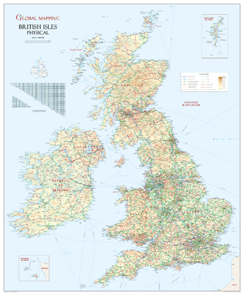
British Isles Physical Wall Map
Global Mapping
Classic British Isles wall map ideal for schools or the office. This unique British Isles map shows the UK and all its neighbours in their correct geographical position! The beautiful colouration makes this a truly delightful presentation. Intricately detailed.
ISBN 9781905755196
Page Size: 35 x 43.5 in (914 x 1105 mm)
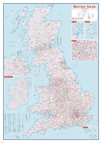
British Isles Postcode Map
Maps International
This British Isles Postcode map contains information including borough, county and district names. Cities are marked on showing the approximate population size. Postcode areas of the British Isles are clearly shown and the Greater London area is expanded to show these postcode areas clearly. British Isles postcodes are needed on a day-to-day basis and this map makes a great reference tool. This map shows each postcode area clearly - e.g. CV, NW, B. This British Isles postcode map is easy to display in offices or post rooms.
Page Size: 33.25 x 47 in (841 x 1189 mm)
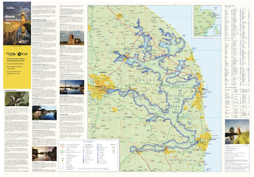
Broads National Park Map
Collins
With clear mapping and a high level of detail, explore the Broads National Park easily with maps from Collins. This map identifies key park, tourist, and travel information, presented alongside a selection of photographs, making it an ideal companion for those exploring this beautiful area of Eastern England.
Page Size: 32 x 22.25 in (810 x 560 mm)
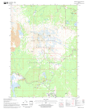
Broken Top Quadrangle, Oregon
United States Department of Agriculture Forest Service
United States Department of Agriculture Forestry Service topographical map of Broken Top, Deschutes National Forest, Oregon.
Page Size: 21.75 x 27 in (552 x 686 mm)

Bromley - BR - Postcode Wall Map
XYZ Maps
The Bromley Postcode Sector Wall Map shows detailed postcode sector boundaries (BR1 1, BR1 2) on a comprehensive background and is perfect for determining postcode boundaries for sales areas, planning mailshots and also an excellent reference for logistics. This wall map covers the whole of the BR Postcode Area.
Page Size: 47 x 33.25 in (1189 x 841 mm)
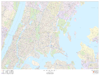
Bronx County, New York
MapSherpa
This map of Bronx County, New York shows detailed street level information including extensive street labeling. Ideal for planning of deliveries, home services, sales territories, real estate and much more. Base map features include all roads with major roads and highways labelled; neighborhood names; railways; high level land use such as parks and recreation areas, industrial areas and hospital campuses; and a variety of points of interest including schools, libraries, stadiums, museums, border crossings and more. ZIP code boundaries are shown as a secondary map feature.
Page Size: 48 x 36 in (1219 x 914 mm)
No search results