


MapSherpa Catalog
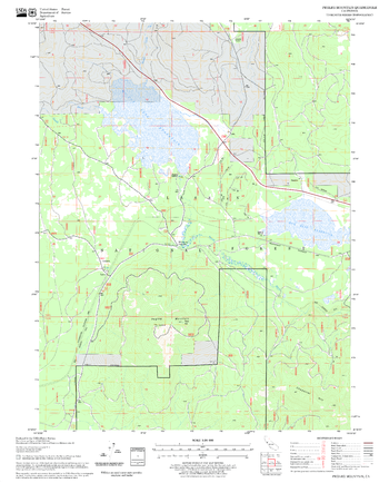
Pegleg Mountain Quadrangle, California
United States Forest Service
United States Department of Agriculture Forestry Service topographical map of Pegleg Mountain, Lassen National Forest, California.
Page Size: 21.75 x 27 in (552 x 686 mm)
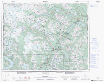
Pemberton - 92 J - British Columbia
Natural Resources Canada
Canadian topographic map of Pemberton, British Columbia. NTS sheet 092J Edition 2.
Page Size: 27.75 x 22 in (701 x 555 mm)
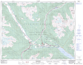
Pemberton - 92 J/7 - British Columbia
Natural Resources Canada
Canadian topographic map of Pemberton, British Columbia. NTS sheet 092J07 Edition 2.
Page Size: 32.25 x 25.5 in (819 x 643 mm)
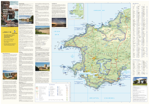
Pembrokeshire Coast National Park Map
Collins
With clear mapping and a high level of detail, explore Pembrokeshire Coast National Park easily with maps from Collins. This map identifies key park, tourist, and travel information, presented alongside a selection of photographs, making it an ideal companion for those exploring this beautiful area of West Wales.
Page Size: 32 x 22.25 in (810 x 560 mm)
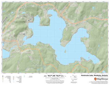
Peninsula Lake, Muskoka, Ontario
MapSherpa
A cartographically beautiful map of Peninsula Lake, Muskoka, Ontario ideal for showing off cottages, resorts, lakes and other favourite places.
Page Size: 22 x 17 in (559 x 432 mm)
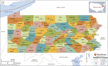
Pennsylvania Counties Map - Extra Large
MapSherpa
This map has been created exclusively for MapSherpa, and designed for reference or business use. Clear and clean colors & fonts matched with cartographic research makes this map of Pennsylvania Counties Map easily readable and useful. The map shows the 67 counties of Pennsylvania and their borders across the Keystone State.
Page Size: 60 x 36.75 in (1524 x 930 mm)
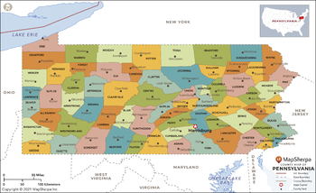
Pennsylvania Counties Map - Large
MapSherpa
This map has been created exclusively for MapSherpa, and designed for reference or business use. Clear and clean colors & fonts matched with cartographic research makes this map of Pennsylvania Counties Map easily readable and useful. The map shows the 67 counties of Pennsylvania and their borders across the Keystone State.
Page Size: 48 x 29.5 in (1219 x 744 mm)
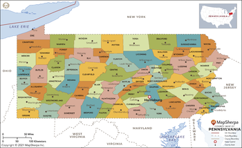
Pennsylvania Counties Map - Standard
MapSherpa
This map has been created exclusively for MapSherpa, and designed for reference or business use. Clear and clean colors & fonts matched with cartographic research makes this map of Pennsylvania Counties Map easily readable and useful. The map shows the 67 counties of Pennsylvania and their borders across the Keystone State.
Page Size: 36 x 22 in (914 x 558 mm)
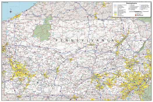
Pennsylvania State Wall Map
MapSherpa
This detailed wall map of Pennsylvania is perfect for both educational and business purposes. The easy-to-read map features vibrant colors and clear labeling of cities, counties, highways, and geographical features. All national and state highways that connect the state are all clearly labelled on the map, while the legend notes the different road and land use classifications such as urban, park, military, and many more. The boundaries of each county in the state are defined and named clearly. Whether you are a student, teacher, business person or geography enthusiast, this map is a valuable addition to any space.
Page Size: 36 x 24 in (914 x 610 mm)
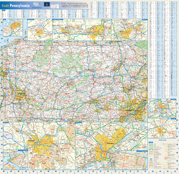
Pennsylvania State Wall Map
Globe Turner
This colorful, easy-to-read state map of Pennsylvania identifies all major thoroughfares, secondary roads, freeway interchanges, rest areas, distance markers, landmarks, recreational areas, and more. Shaded relief on the state map provides a three-dimensional sense of Pennsylvania's topography. Detailed city inset maps of Allentown, Erie, Harrisburg, Lancaster, Philadelphia, Pittsburgh, Scranton/Wilkes-Barre, and State College are based on the latest street information from our cartographic experts. Up-to-date insets of center city Philadelphia and downtown Pitttsburgh provide must-see information on these tourist areas. County and city indices make it simple to locate even the smallest town.
Page Size: 25 x 24 in (629 x 610 mm)
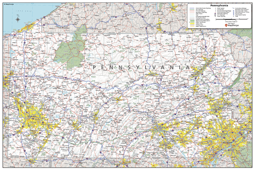
Pennsylvania State Wall Map - Compact
MapSherpa
This detailed wall map of Pennsylvania is perfect for both educational and business purposes. The easy-to-read map features vibrant colors and clear labeling of cities, counties, highways, and geographical features. All national and state highways that connect the state are all clearly labelled on the map, while the legend notes the different road and land use classifications such as urban, park, military, and many more. The boundaries of each county in the state are defined and named clearly. Whether you are a student, teacher, business person or geography enthusiast, this map is a valuable addition to any space.
Page Size: 24 x 16 in (610 x 406 mm)
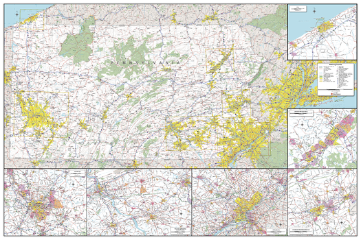
Pennsylvania State Wall Map - Extra Large
MapSherpa
This detailed wall map of Pennsylvania is perfect for both educational and business purposes. The easy-to-read map features vibrant colors and clear labeling of cities, counties, highways, and geographical features. All national and state highways that connect the state are all clearly labelled on the map, while the legend notes the different road and land use classifications such as urban, park, military, and many more. The boundaries of each county in the state are defined and named clearly. Whether you are a student, teacher, business person or geography enthusiast, this map is a valuable addition to any space.
Page Size: 60 x 40 in (1524 x 1016 mm)
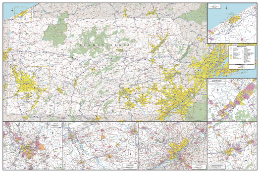
Pennsylvania State Wall Map - Large
MapSherpa
This detailed wall map of Pennsylvania is perfect for both educational and business purposes. The easy-to-read map features vibrant colors and clear labeling of cities, counties, highways, and geographical features. All national and state highways that connect the state are all clearly labelled on the map, while the legend notes the different road and land use classifications such as urban, park, military, and many more. The boundaries of each county in the state are defined and named clearly. Whether you are a student, teacher, business person or geography enthusiast, this map is a valuable addition to any space.
Page Size: 48 x 32 in (1219 x 813 mm)
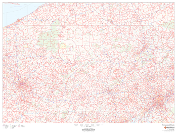
Pennsylvania ZIP Code Map
MapSherpa
This map of Pennsylvania shows ZIP codes overlaid on a road map. Base map features include municipality and county boundaries, major road network features, and state and national parks and conservation areas.
Page Size: 48 x 36 in (1219 x 914 mm)
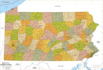
Pennsylvania ZIP Code Map with Counties - Extra Large
MapSherpa
This map has been created exclusively for MapSherpa, and designed for business or reference use. Clear and clean colors & fonts matched with cartographic research makes this Pennsylvania Zip Code Map with Counties easily readable and useful. The map shows the 67 counties of Pennsylvania and the borders of the over 1,700 zip codes across the Keystone State.
Page Size: 60 x 40.75 in (1524 x 1033 mm)
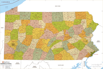
Pennsylvania ZIP Code Map with Counties - Large
MapSherpa
This map has been created exclusively for MapSherpa, and designed for business or reference use. Clear and clean colors & fonts matched with cartographic research makes this Pennsylvania Zip Code Map with Counties easily readable and useful. The map shows the 67 counties of Pennsylvania and the borders of the over 1,700 zip codes across the Keystone State.
Page Size: 48 x 32.75 in (1219 x 827 mm)
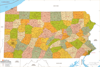
Pennsylvania ZIP Code Map with Counties - Standard
MapSherpa
This map has been created exclusively for MapSherpa, and designed for business or reference use. Clear and clean colors & fonts matched with cartographic research makes this Pennsylvania Zip Code Map with Counties easily readable and useful. The map shows the 67 counties of Pennsylvania and the borders of the over 1,700 zip codes across the Keystone State.
Page Size: 36 x 24.5 in (914 x 620 mm)
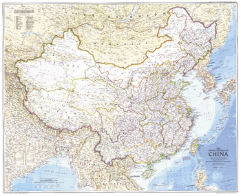
Peoples Republic of China - Published 1980
National Geographic
This map was created just one year after the Tiananmen Square protests, when students, intellectuals, and labor activists stood up against the might of the China's Communist government. Published in July 1980 as a companion to the "Peoples of China" map and the article "Shanghai: Born-again Giant."
Page Size: 37.5 x 30.5 in (950 x 771 mm)
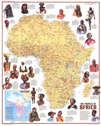
Peoples of Africa - Published 1971
National Geographic
This map features Africa's ethnic groups, identified by name and language. Includes beautiful illustrations and interesting facts about the diverse peoples that inhabit the continent. Published in December 1971 as half of a two–map set with the "Heritage of Africa" map, and as a companion to the article "The Zulus: Black Nation in a Land of Aparteid."
Page Size: 22.75 x 28.25 in (575 x 716 mm)
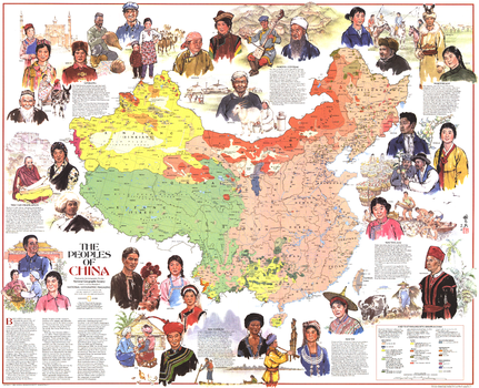
Peoples of China - Published 1980
National Geographic
This informative map shows China's diverse ethnicities and language groups, along with an abundance of illustrations. Published in July 1980 as a companion to the "Peoples Republic of China" map and the article "Shanghai: Born-again Giant."
Page Size: 37.5 x 30.5 in (950 x 771 mm)
No search results