


National Geographic

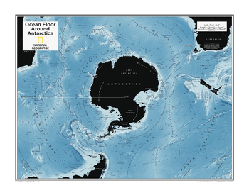
Ocean Floor around Antarctica - Atlas of the World, 10th Edition
null
Page Size: 28 x 22 in (711 x 559 mm)
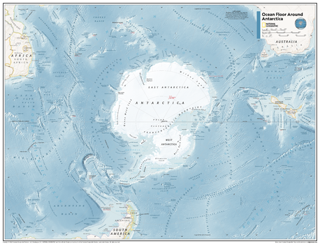
Ocean Floor around Antarctica - Atlas of the World, 11th Edition
This map of physical features can fit in any space. Showcasing the ocean floor around Antarctica in stunning detail with state-of-the-art cartographic techniques delivering accuracy and exceptional quality, the innovative and engaging design makes the content easily accessible and user-friendly.
Ideal for classrooms with an emphasis on teaching geography or environmental themes. The mapping of the ocean terrain gives your students a unique glimpse into how our world appears under the sea.
This physical map of the ocean floor around Antarctica uses stunning contrasts to highlight the ocean floor and its physical features. Drawn in the Azimuthal Equidistant projection, this map ensures that all points on the map are at proportionally correct distances from the center point, in this case, the South Pole.
This map is found in National Geographic's 11th Edition World Atlas and is now available as a stand alone product.
Page Size: 31.5 x 24 in (798 x 610 mm)
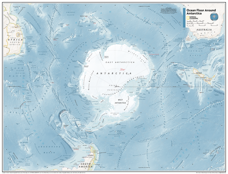
Ocean Floor around Antarctica - Atlas of the World, 11th Edition - Compact
This map of physical features can fit in any space. Showcasing the ocean floor around Antarctica in stunning detail with state-of-the-art cartographic techniques delivering accuracy and exceptional quality, the innovative and engaging design makes the content easily accessible and user-friendly.
Ideal for classrooms with an emphasis on teaching geography or environmental themes. The mapping of the ocean terrain gives your students a unique glimpse into how our world appears under the sea.
This physical map of the ocean floor around Antarctica uses stunning contrasts to highlight the ocean floor and its physical features. Drawn in the Azimuthal Equidistant projection, this map ensures that all points on the map are at proportionally correct distances from the center point, in this case, the South Pole.
This map is found in National Geographic's 11th Edition World Atlas and is now available as a stand alone product.
Page Size: 21.5 x 16.25 in (540 x 413 mm)
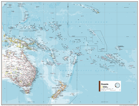
Oceania Political Map - Atlas of the World, 11th Edition
This map of Oceania political features can fit in any space. Showcasing the region in stunning detail with state-of-the-art cartographic techniques delivering accuracy and exceptional quality, the innovative and engaging design makes the content easily accessible and user-friendly.
Ideal for classrooms with an emphasis on teaching geography or environmental themes. The inclusion of physical features gives your students a genuine feel for how our world appears.
This map uses a bright, easy to read color palette featuring blue oceans and stunning shaded relief that has been featured on National Geographic wall maps for over 75 years. It is drawn in the Transverse Mercator projection, which is a cylindrical map projection for nautical navigation because it represents lines of constant course.
This map is found in National Geographic's 11th Edition World Atlas and is now available as a stand alone product.
Page Size: 31.5 x 24 in (798 x 610 mm)
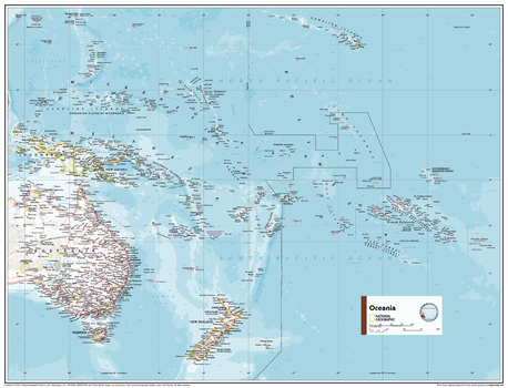
Oceania Political Map - Atlas of the World, 11th Edition - Compact
This map of Oceania political features can fit in any space. Showcasing the region in stunning detail with state-of-the-art cartographic techniques delivering accuracy and exceptional quality, the innovative and engaging design makes the content easily accessible and user-friendly.
Ideal for classrooms with an emphasis on teaching geography or environmental themes. The inclusion of physical features gives your students a genuine feel for how our world appears.
This map uses a bright, easy to read color palette featuring blue oceans and stunning shaded relief that has been featured on National Geographic wall maps for over 75 years. It is drawn in the Transverse Mercator projection, which is a cylindrical map projection for nautical navigation because it represents lines of constant course.
This map is found in National Geographic's 11th Edition World Atlas and is now available as a stand alone product.
Page Size: 21.5 x 16.25 in (540 x 413 mm)
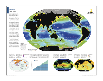
Oceans: Planet Ocean - Atlas of the World, 10th Edition
Locating Ocean Chlorophyll; Mapping Fishing Activity; The Rise of Aquaculture; Charting Sea Surface Temperature; Human Impacts on the Oceans
Page Size: 28 x 22 in (711 x 559 mm)
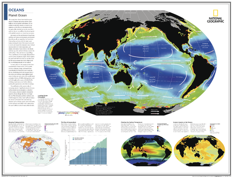
Oceans: Planet Ocean - Atlas of the World, 10th Edition - Compact
Locating Ocean Chlorophyll; Mapping Fishing Activity; The Rise of Aquaculture; Charting Sea Surface Temperature; Human Impacts on the Oceans
Page Size: 21 x 16 in (533 x 406 mm)
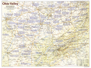
Ohio Valley - Published 1985
This map of the Ohio Valley region of the United States contains a wealth of historical notes and points of interest, including early frontier settlements such as Harrodsburg, Kentucky and Davy Crockett's birthplace in Tennessee. Published in December 1985 as part of the "Making of America" series, and as a companion to the article "Daniel Boone, First Hero of the Frontier."
Page Size: 27.25 x 20.5 in (690 x 518 mm)
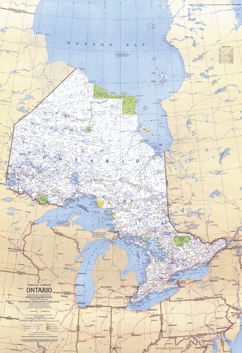
Ontario Canada - Published 1978
This travel map of the Canadian province of Ontario shows hundreds of national parks, wilderness areas and campgrounds. It also highlights points of interest in cities such as Toronto and Ottawa. Published in December 1978.
Page Size: 22.75 x 33 in (573 x 833 mm)
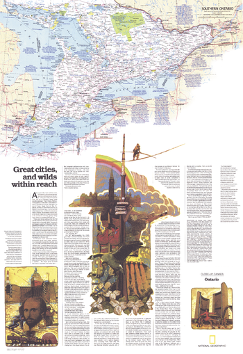
Ontario Great Cities Wilds Within Reach - Published 1978
Published in December 1978 as half of a two-map set showcasing Canada's richest and most industrialized province, the "Ontario: Great Cities, and Wilds Within Reach" map provides an abundance of information about this diverse and exciting province. Together, the two maps accompanied the article "Ontario, Canada's Keystone."
Page Size: 22.75 x 33 in (573 x 833 mm)
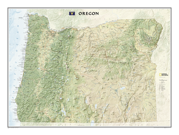
Oregon
This map offers a dramatic visualization of Oregon's physical geography. Land cover colorization distinguishes forests and deserts. Stunning shaded relief depicts mountains and ocean depths. The map locates and names cities, towns, islands airports, national and state parks, military bases, mountains (with peak elevations), lakes, rivers, and other natural features.
Page Size: 40.25 x 30 in (1018 x 758 mm)
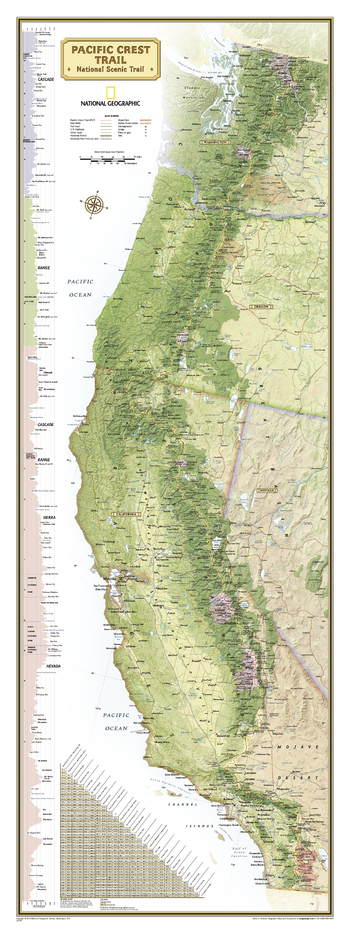
Pacific Crest Trail Wall Map
<p>National Geographic's wall map of the Pacific Crest Trail is ideal for fans and hikers of this magnificent National Scenic Trail. This beautiful poster shows the entire length of the trail from Mexico to Canada through California, Oregon, and Washington. A unique elevation profile highlights the trail's peaks and valleys, and an informative mileage chart shows the distance between key locations. Also highlighted on this map are passes, peaks, national forests, national parks, state parks, and Indian reservations. Additional points of interest include lodges and campgrounds near the trail. All proceeds from the purchase of a National Geographic map help support the Society's vital exploration, conservation, scientific research, and education programs. </p>
Page Size: 18 x 48 in (457 x 1219 mm)
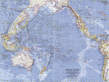
Pacific Islands - Published 1962
This map vividly combines ocean bathymetry, reef detail and geographical relief to bring the Pacific Islands region to life. Includes inset maps of fifty islands and island groups. Published in April 1962 with a map of the Pacific Ocean and an article on New Zealand.
Page Size: 25 x 19 in (634 x 479 mm)
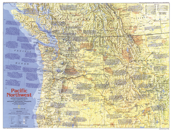
Pacific Northwest Side 1 - Published 1986
This map of the Pacific Northwest region of the United States contains a wealth of historical notes and points of interest, highlighting the area's colorful history and spectacular scenery. Published in August 1986 as part of the "Making of America" series, and as a companion to the article "Life and Death on the Oregon Trail: The Itch to Move West."
Page Size: 27.25 x 20.5 in (690 x 516 mm)
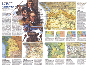
Pacific Northwest Side 2 - Published 1986
This map of the Pacific Northwest represents Side Two in a two-piece set of maps focused on this beautiful and resource-rich region. Published in August 1986 as part of the "Making of America" series, this map provides a detailed look at the history of the Pacific Northwest as it changed from tribal lands and fur trading posts to a region known for its national parks, lumber industry, dams, and resorts.
Page Size: 27.25 x 20.5 in (690 x 516 mm)

Pacific Ocean - Published 1936
Explore the islands and coastlines of the Pacific with this thorough map of the region. With inset maps of dozens of islands and instructive details such as ship routes, naval bases, time zone boundaries and more, this map makes a wonderful collector's piece. Published in December 1936, it accompanied an article entitled "Flying the Pacific."
Page Size: 37.75 x 31 in (957 x 786 mm)
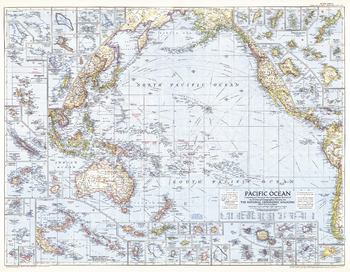
Pacific Ocean - Published 1952
A fascinating piece, this map of the Pacific was published in December 1952 and included inset maps of dozens of islands. Particular features that make this map noteworthy are weather stations, ocean currents, and prevailing winds. A great companion to the Pacific Ocean map of 1936.
Page Size: 37.5 x 29 in (947 x 735 mm)
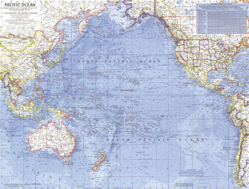
Pacific Ocean - Published 1969
This detailed map of the Pacific Ocean contains a wealth of historical notes, including the splashdown points of the Appollo missions in 1968 and 1969. Published in October 1969 to accompany the "Pacific Ocean Floor" map. Similar in style to ocean maps of the Atlantic (1968) and Arctic (1971).
Page Size: 25 x 19 in (632 x 480 mm)
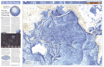
Pacific Ocean - Published 1992
This attractive physical map of the Pacific Ocean floor appeared in the June 1992 issue of National Geographic. It contains an article entitled "Deep-Sea Vents: Worlds Without Sun" and additional information on the life forms that thrive in the deepest waters of the Pacific. The map's detail of such submarine terrain as fracture zones, troughs, trenches, and the countless seamounts is stunning. A wonderful companion to the ocean floor map of the Indian Ocean which appeared in the same issue.
Page Size: 31.5 x 20.5 in (796 x 517 mm)
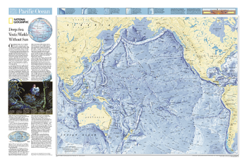
Pacific Ocean Floor
Explore the ridges, vents, deep sea life, and terrain of the Pacific with this physical map of the ocean floor. Includes the Mariana Trench (the deepest place on Earth) and the Aleutian Trench, along with hundreds of islands labeled by their sovereignty.
Page Size: 33 x 22 in (834 x 555 mm)