top of page
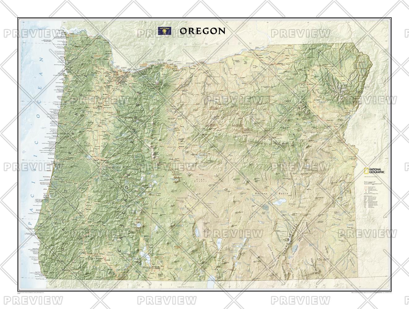
Oregon
National Geographic
This map offers a dramatic visualization of Oregon's physical geography. Land cover colorization distinguishes forests and deserts. Stunning shaded relief depicts mountains and ocean depths. The map locates and names cities, towns, islands airports, national and state parks, military bases, mountains (with peak elevations), lakes, rivers, and other natural features.
Page Size: 40.25 x 30 in (1018 x 758 mm)
Buy this map on MapTrove.ca or MapTrove.com

bottom of page


