


National Geographic

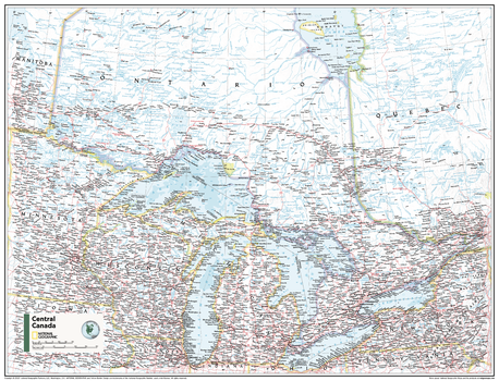
Central Canada - Atlas of the World, 11th Edition - Compact
This Central Canada map of physical and political features can fit in any space. Showcasing the Great Lakes region in stunning detail with state-of-the-art cartographic techniques delivering accuracy and exceptional quality, the innovative and engaging design makes the content easily accessible and user-friendly.
Ideal for classrooms with an emphasis on teaching geography or environmental themes. The inclusion of physical features gives your students a genuine feel for how our world appears.
This map uses a bright, easy to read color palette featuring blue oceans and stunning shaded relief that has been featured on National Geographic wall maps for over 75 years. It is drawn in the Albers Conic Equal-Area projection, which uses two standard parallels between which distortion is minimized.
Names of geographic features are carefully placed on the map to maintain legibility.
This map is found in National Geographic's 11th Edition World Atlas and is now available as a stand alone product.
Page Size: 21.5 x 16.25 in (540 x 413 mm)
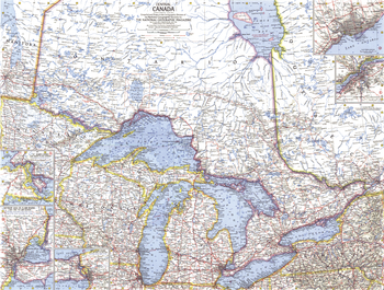
Central Canada - Published 1963
Discover the fascinating region of Central Canada with this compelling map. Includes inset maps of Toronto and sections of major rivers. Published in July 1963 with the article "Canada's Dynamic Heartland, Ontario." A fine companion to the maps of Eastern Canada (1967) and Western Canada (1966).
Page Size: 25 x 19 in (632 x 480 mm)
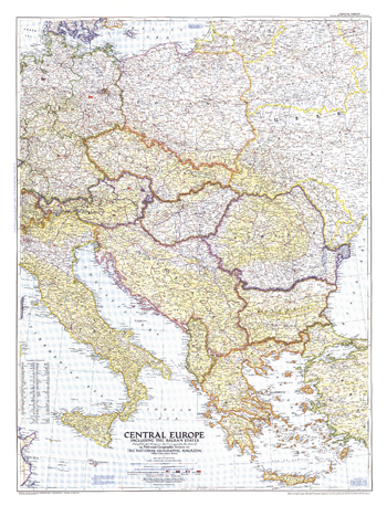
Central Europe - Published 1951
This map of Central Europe and the Balkan States captures Europe still in the recovery stages after World War II. Published in September 1951, it includes American, British, French, and Russian occupation zones and the newly drawn boundaries of Russia an
Page Size: 30.25 x 39.5 in (763 x 999 mm)
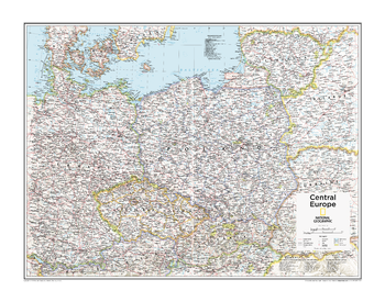
Central Europe - Atlas of the World, 10th Edition
Belarus, Czech Republic (Czechia), Kaliningrad Oblast (Russia), Lithuania, Poland, Slovakia, Ukraine
Page Size: 28 x 22 in (711 x 559 mm)
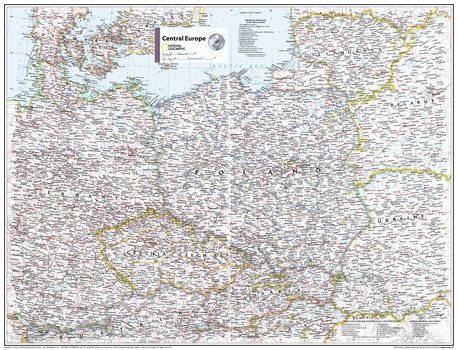
Central Europe - Atlas of the World, 11th Edition
This Central Europe map of physical and political features can fit in any space. Showcasing the region in stunning detail with state-of-the-art cartographic techniques delivering accuracy and exceptional quality, the innovative and engaging design makes the content easily accessible and user-friendly.
Ideal for classrooms with an emphasis on teaching geography or environmental themes. The inclusion of physical features gives your students a genuine feel for how our world appears.
This map uses a bright, easy to read color palette featuring blue oceans and stunning shaded relief that has been featured on National Geographic wall maps for over 75 years.
Names of geographic features are carefully placed on the map to maintain legibility. Lists of administrative units from multiple countries add detail to this classic map.
This map is found in National Geographic's 11th Edition World Atlas and is now available as a stand alone product.
Page Size: 31.5 x 24 in (798 x 610 mm)
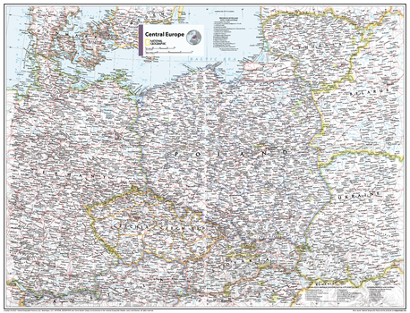
Central Europe - Atlas of the World, 11th Edition - Compact
This Central Europe map of physical and political features can fit in any space. Showcasing the region in stunning detail with state-of-the-art cartographic techniques delivering accuracy and exceptional quality, the innovative and engaging design makes the content easily accessible and user-friendly.
Ideal for classrooms with an emphasis on teaching geography or environmental themes. The inclusion of physical features gives your students a genuine feel for how our world appears.
This map uses a bright, easy to read color palette featuring blue oceans and stunning shaded relief that has been featured on National Geographic wall maps for over 75 years.
Names of geographic features are carefully placed on the map to maintain legibility. Lists of administrative units from multiple countries add detail to this classic map.
This map is found in National Geographic's 11th Edition World Atlas and is now available as a stand alone product.
Page Size: 21.5 x 16.25 in (540 x 413 mm)
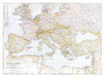
Central Europe and the Mediterranean - Published 1939
This map of Central Europe and the Mediterranean shows international boundaries as of September 1, 1939, before Germany invaded Poland. Published in October 1939, this map appeared with the article "War Clouds Over Danzig and Poland's Port." A unique historical map for collectors.
Page Size: 37.25 x 27.5 in (944 x 697 mm)
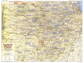
Central Plains Map Side 1 - Published 1985
Explore the history of America's Heartland - the Central Plains region of the United States. This map contains a wealth of historical notes as well as historical trails, national parks, ghost towns, battlefields, and more. Published in September 1985 as part of the "Making of America" series.
Page Size: 27.25 x 20.5 in (687 x 515 mm)
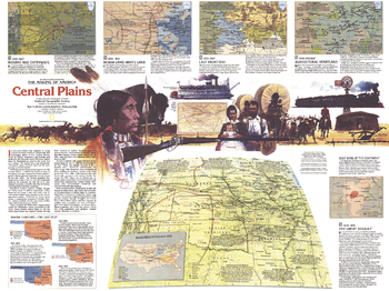
Central Plains Map Side 2 - Published 1985
In four-hundred years the Great Plains of America shifted from a wild landscape of Bison and the Native American tribes who hunted them to the nation's breadbasket and agricultural heartland. Explore the region's colorful and often tragic history with the Central Plains map. Published in September 1985, this map represents Side Two of a two-map set in the "Making of America" series.
Page Size: 27.25 x 20.5 in (687 x 515 mm)
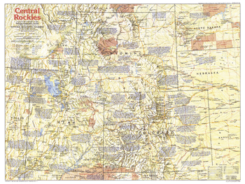
Central Rockies Side 1 - Published 1984
The Central Rockies region of the United States has a colorful history and is world-renowned for the beauty of its national parks. This map shows the states of Colorado, Utah, Wyoming, and their immediate neighbors, and includes a wealth of historical notes and points of interest. Published in August 1984 as part of the "Making of America" series.
Page Size: 27.25 x 20.5 in (688 x 516 mm)
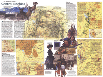
Central Rockies Side 2 - Published 1984
This map of the Central Rockies represents Side Two in a two-piece set of maps focused on this extraordinary region of awesome natural beauty, colorful history, and abundant resources. Published in August 1984 as part of the "Making of America" series, this map provides a detailed look at the history of Colorado, Utah, and Wyoming as the region changed from tribal lands, fur trading posts, and mining towns to a region known for its national parks, wildlife, ski resorts, and energy resources.
Page Size: 27.25 x 20.5 in (688 x 516 mm)
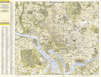
Central Washington, District of Columbia - Published 1948
A Pocket Map of Central Washington, District of Columbia is half of a two-map set published in September 1948 with the article "American Masters in the National Gallery." Detailed and indexed, this map features all the sites of note, from the White House, the U.S. Capital building, and the Lincoln Memorial, to the Smithsonian, the National Gallery of Art, and the National Zoo. Its companion map, "A Pocket Map of Suburban Washington, D.C., Maryland and Virginia" appeared in the same issue.
Page Size: 31.75 x 24.25 in (804 x 611 mm)
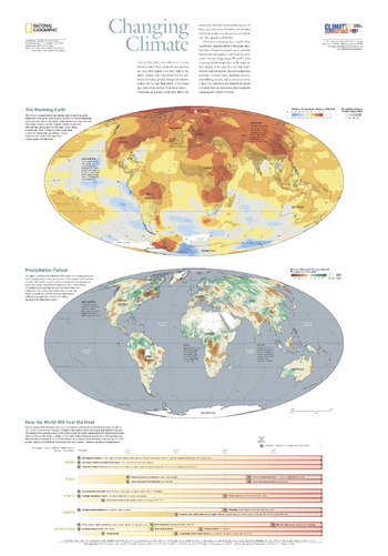
Changing Climate - Published 2007
The scientific evidence is clear: Surface temperatures on Earth are warming at a pace that signals a decisive shift in the global climate, one expected to last for centuries. Climate is changing more rapidly than ever before and human activity is the main cause. Burning of fossil fuels has flooded the atmosphere with heat-trapping carbon dioxide, triggering a 1 degree (F) spike in average global temperature in the past century, largely in the past 30 years. This informative map, published in October 2007 as half of a two-map set with "Greenhouse Earth," reveals evidence which suggests that unless CO2 emissions are slashed, the planet will likely heat up even faster, fundamentally changing the world we live in.
Page Size: 22 x 31.5 in (559 x 800 mm)
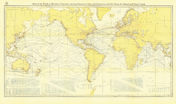
Chart of the World on Mercator's Projection - Published 1905
Submarine cables have played an important part in the development of world-wide communications since the 1850's. National Geographic first charted these cables in 1896. In comparison to that earlier map, this map, published in February 1905 reveals the explosion of communications infrastructure worldwide at the beginning of the last century.
Page Size: 46.75 x 28 in (1187 x 707 mm)
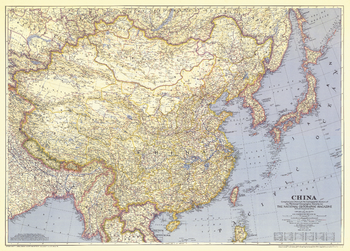
China - Published 1945
When this map was published in June of 1945, World War II was about to come to an end, but China would see little relief. With their enemy Japan defeated, China was plunged into a four-year civil war. This historic map, which accompanied the article "China Fights Erosion with U.S. Aid," is a wonderful companion to the China maps of 1912, 1964, and 1991.
Page Size: 36.75 x 26.5 in (932 x 668 mm)
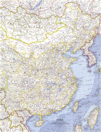
China - Published 1964
China exploded its first atomic bomb just weeks before this map was published in November 1964. With thousands of geographic features and accompanying place names, this map offers a very detailed look at the most populated country in the world.
Page Size: 19 x 25 in (480 x 630 mm)
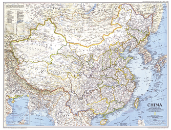
China - Published 1991
This detailed map of China displays the political boundaries of the most populous nation in the world. Published in July 1991 as a companion to the article entitled "China's Youth Wait for Tomorrow."
Page Size: 29 x 22 in (733 x 555 mm)
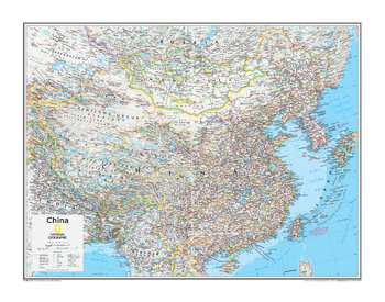
China - Atlas of the World, 10th Edition
China, Mongolia, Taiwan
Page Size: 28 x 22 in (711 x 559 mm)
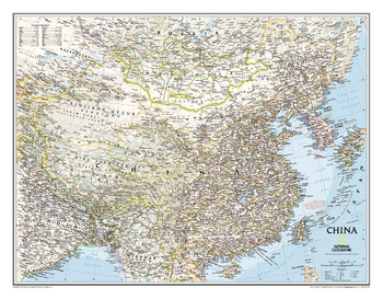
China Classic
This detailed political map of China accurately shows locations of provincial boundaries, cities and towns, major highways and roads, rivers and waterways, and other geographic features.
Page Size: 30.5 x 23.75 in (770 x 600 mm)
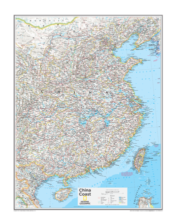
China Coast - Atlas of the World, 10th Edition
null
Page Size: 28 x 22 in (711 x 559 mm)