top of page
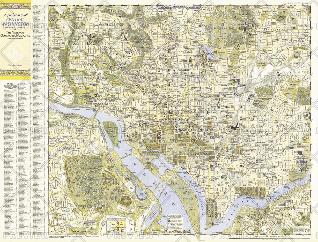
Central Washington, District of Columbia - Published 1948
National Geographic
A Pocket Map of Central Washington, District of Columbia is half of a two-map set published in September 1948 with the article "American Masters in the National Gallery." Detailed and indexed, this map features all the sites of note, from the White House, the U.S. Capital building, and the Lincoln Memorial, to the Smithsonian, the National Gallery of Art, and the National Zoo. Its companion map, "A Pocket Map of Suburban Washington, D.C., Maryland and Virginia" appeared in the same issue.
Page Size: 31.75 x 24.25 in (804 x 611 mm)
Buy this map on MapTrove.ca or MapTrove.com
bottom of page