top of page
Central Europe and the Mediterranean - Published 1939
National Geographic
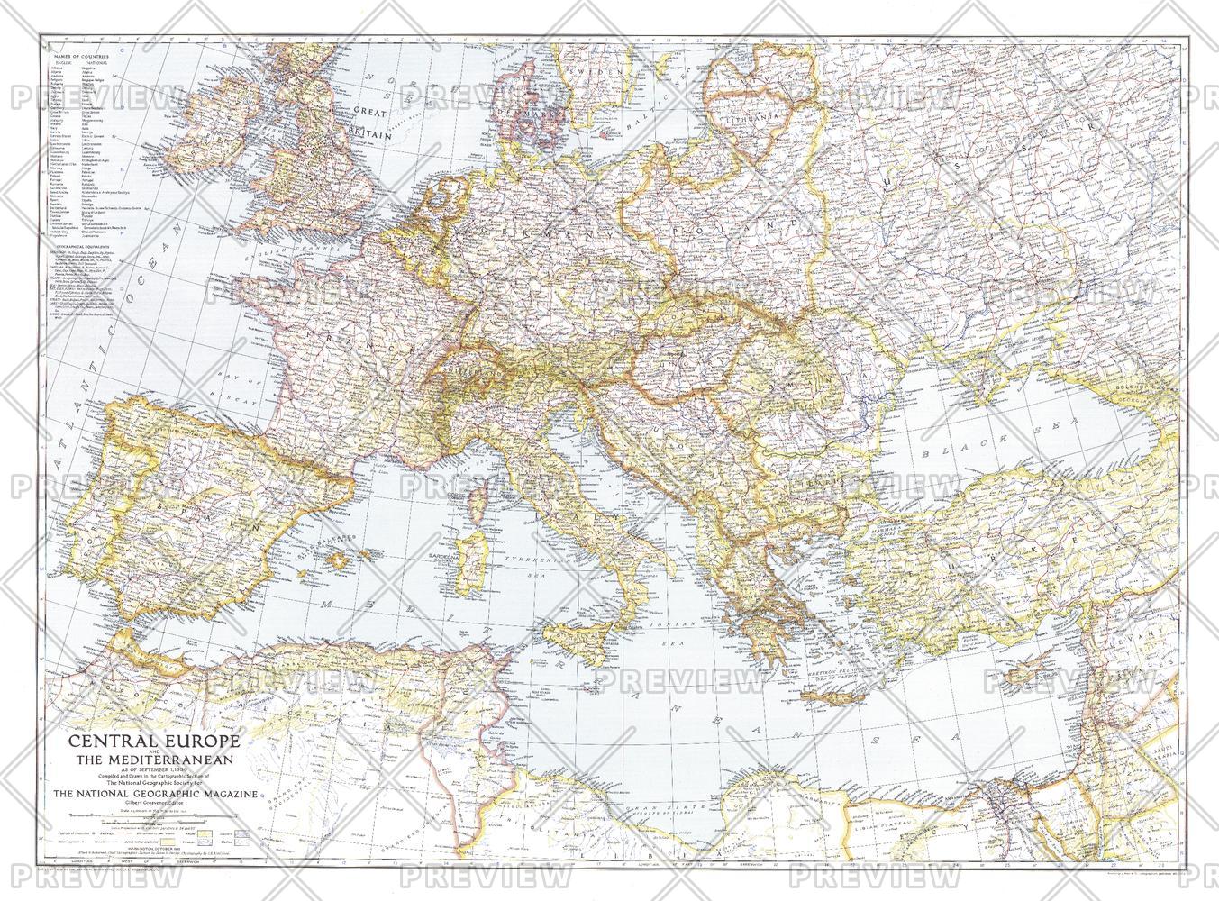
This map of Central Europe and the Mediterranean shows international boundaries as of September 1, 1939, before Germany invaded Poland. Published in October 1939, this map appeared with the article "War Clouds Over Danzig and Poland's Port." A unique historical map for collectors.
Page Size: 37.25 x 27.5 in (944 x 697 mm)
Buy this map on MapTrove.ca or MapTrove.com
bottom of page