top of page


Central Rockies Side 2 - Published 1984
National Geographic
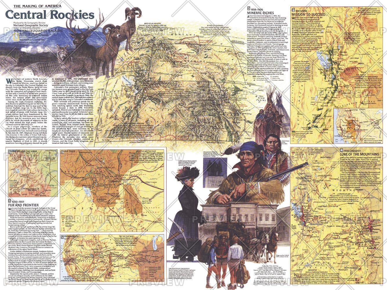
This map of the Central Rockies represents Side Two in a two-piece set of maps focused on this extraordinary region of awesome natural beauty, colorful history, and abundant resources. Published in August 1984 as part of the "Making of America" series, this map provides a detailed look at the history of Colorado, Utah, and Wyoming as the region changed from tribal lands, fur trading posts, and mining towns to a region known for its national parks, wildlife, ski resorts, and energy resources.
Page Size: 27.25 x 20.5 in (688 x 516 mm)
Buy this map on MapTrove.ca or MapTrove.com
bottom of page