


MapSherpa Catalog
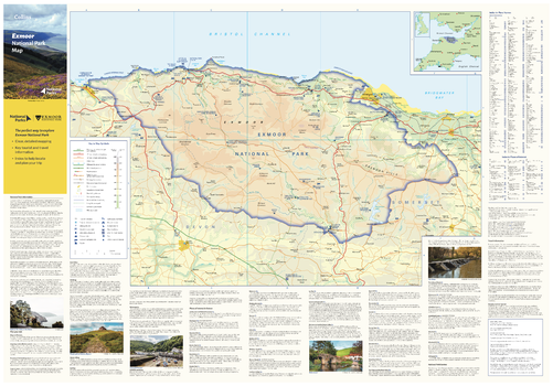
Exmoor National Park Map
Collins
With clear mapping and a high level of detail, explore the Exmoor National Park easily with maps from Collins. This map identifies key park, tourist, and travel information, presented alongside a selection of photographs, making it an ideal companion for those exploring this beautiful area of Southwest England.
Page Size: 32 x 22.25 in (810 x 560 mm)

Exploring Space Weather - Published 2004
National Geographic
Published in July 2004 as half of a two-piece set with "New Views of Our Sun," this informative map features a striking graphic of the sun, revealing the core, radiation zone, magnetic lines, photosphere, sunspots, chromosphere, and corona, as well as the high-energy protons, x-rays, and UV rays that bombard the Earth. A wealth of information and fascinating photographs present a better understanding of the space weather created by the sun's continual eruptions and their effect on our planet.
Page Size: 31.25 x 20.25 in (790 x 511 mm)
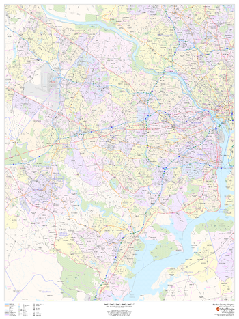
Fairfax County, Virginia
MapSherpa
This map of Fairfax County, Virginia shows regional level information. Base map features include highways and major roads with labelling; neighborhood names; railways; high level land use such as parks and recreation areas, industrial areas and hospital campuses; and a selection of points of interest including transportation hubs like airports and train stations, tourist information, police stations and shopping centres. ZIP code boundaries are shown as a secondary map feature.
Page Size: 36 x 48 in (914 x 1219 mm)
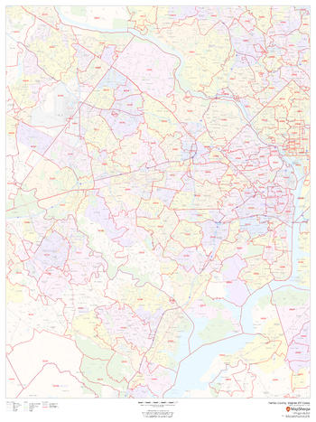
Fairfax County, Virginia ZIP Codes
MapSherpa
This map of Fairfax County, Virginia shows ZIP code areas overlaid on a road map. Ideal for planning of deliveries, home services, sales territories, real estate and much more. Base map features include all roads with major roads and highways labelled; neighborhood names; railways; and high level land use such as parks and recreation areas, industrial areas and hospital campuses.
Page Size: 36 x 48 in (914 x 1219 mm)
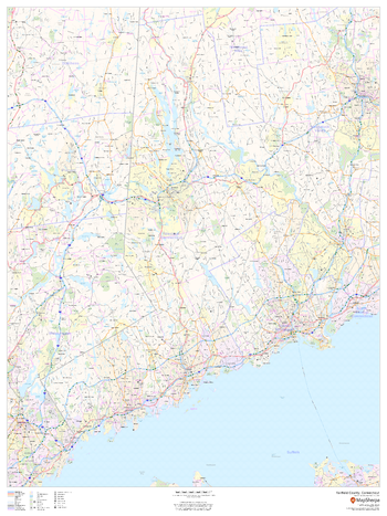
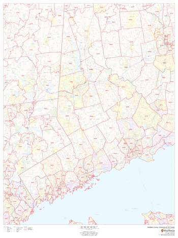
Fairfield County, Connecticut
MapSherpa
This map of Fairfield County, Connecticut shows regional level information. Base map features include highways and major roads with labelling; neighborhood names; railways; high level land use such as parks and recreation areas, industrial areas and hospital campuses; and a selection of points of interest including transportation hubs like airports and train stations, tourist information, police stations and shopping centres. ZIP code boundaries are shown as a secondary map feature.
Page Size: 36 x 48 in (914 x 1219 mm)
Fairfield County, Connecticut ZIP Codes
MapSherpa
This map of Fairfield County, Connecticut shows ZIP code areas overlaid on a road map. Ideal for planning of deliveries, home ervices, sales territories, real estate and much more. Base map features include all roads with major roads and highways labelled; neighborhood names; railways; and high level land use such as parks and recreation areas, industrial areas and hospital campuses.
Page Size: 36 x 48 in (914 x 1219 mm)
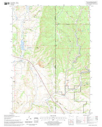
Fairview Quadrangle, California
United States Department of Agriculture Forest Service
United States Department of Agriculture Forestry Service topographical map of Fairview, Sequoia National Forest, California.
Page Size: 21.75 x 27 in (552 x 686 mm)
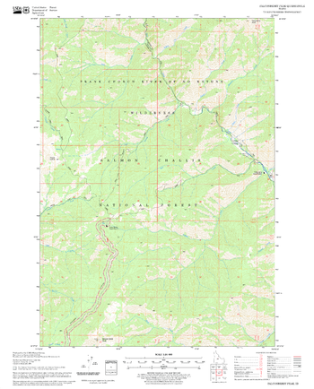
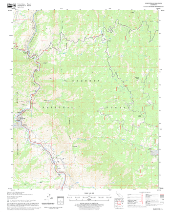
Falconberry Peak Quadrangle, Idaho
United States Department of Agriculture Forest Service
United States Department of Agriculture Forestry Service topographical map of Falconberry Peak, Salmon-Chalis National Forest, Idaho.
Page Size: 21.75 x 27 in (552 x 686 mm)
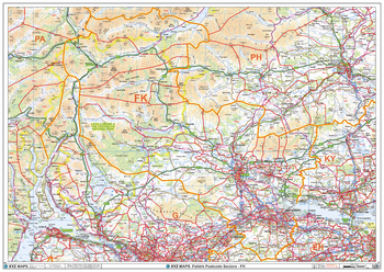
Falkirk - FK - Postcode Wall Map
XYZ Maps
The Falkirk Postcode Sector Wall Map shows detailed postcode sector boundaries (FK1 1, FK1 2) on a comprehensive background and is perfect for determining postcode boundaries for sales areas, planning mailshots and also an excellent reference for logistics. This wall map covers the whole of the FK Postcode Area.
Page Size: 47 x 33.25 in (1189 x 841 mm)
Fanny Peak Quadrangle, South Dakota
United States Department of Agriculture Forest Service
United States Department of Agriculture Forestry Service topographical map of Fanny Peak, Black Hills National Forest, South Dakota.
Page Size: 21.75 x 27 in (552 x 686 mm)
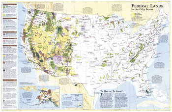
Federal Lands in the Fifty States - Published 1996
National Geographic
Considered by many to be the finest map of United States federal lands ever published. This map shows which land areas are controlled by each federal agency, and describes how each land type is managed. Published in October 1996 as a companion to "United States, the Physical Landscape."
Page Size: 31.5 x 20.5 in (795 x 517 mm)
Felkner Hill Quadrangle, California
United States Department of Agriculture Forest Service
United States Department of Agriculture Forestry Service topographical map of Felkner Hill, Mendocino National Forest, California.
Page Size: 21.75 x 27 in (552 x 686 mm)
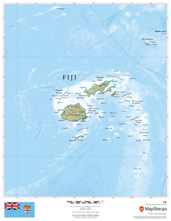
Fiji
MapSherpa
This beautiful map shows physical and political features for Fiji. Relief shading and the use of different colours by height above sea level are both informative and attractive.
Page Size: 17 x 22 in (432 x 559 mm)
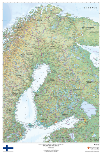
Finland
MapSherpa
This beautiful map shows physical and political features for Finland and surrounding areas. Relief shading and the use of different colours by height above sea level are both informative and attractive.
Page Size: 24 x 36 in (610 x 914 mm)
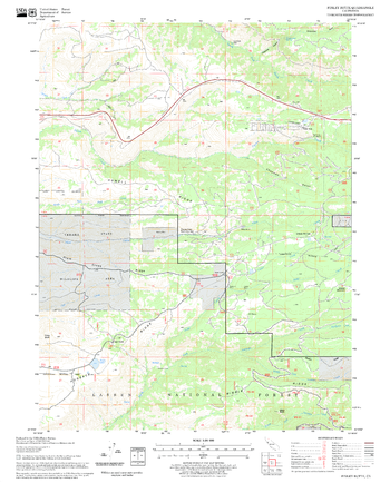
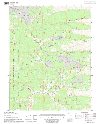
Finley Butte Quadrangle, California
United States Department of Agriculture Forest Service
United States Department of Agriculture Forestry Service topographical map of Finley Butte, Lassen National Forest, California.
Page Size: 21.75 x 27 in (552 x 686 mm)
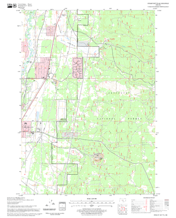
Finley Butte Quadrangle, Oregon
United States Department of Agriculture Forest Service
United States Department of Agriculture Forestry Service topographical map of Finley Butte, Deschutes National Forest, Oregon.
Page Size: 21.75 x 27 in (552 x 686 mm)
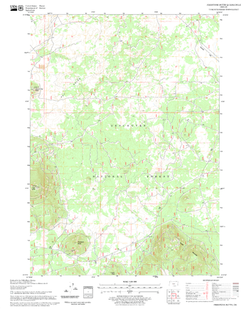
Firestone Butte Quadrangle, Oregon
United States Department of Agriculture Forest Service
United States Department of Agriculture Forestry Service topographical map of Firestone Butte, Deschutes National Forest, Oregon.
Page Size: 21.75 x 27 in (552 x 686 mm)
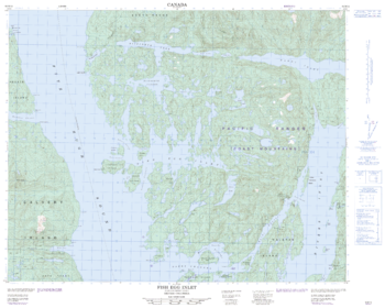
Fish Egg Inlet - 92 M/12 - British Columbia
Natural Resources Canada
Canadian topographic map of Fish Egg Inlet, British Columbia. NTS sheet 092M12 Edition 2.
Page Size: 31.25 x 25 in (790 x 631 mm)
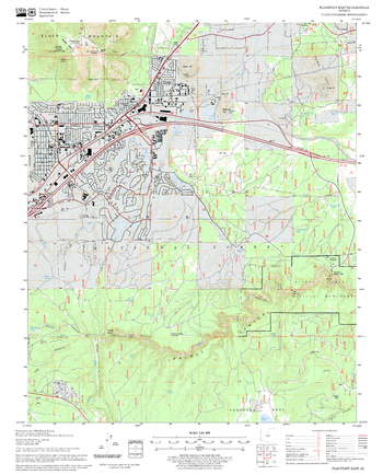
Flagstaff East Quadrangle, Arizona
United States Department of Agriculture Forest Service
United States Department of Agriculture Forestry Service topographical map of Flagstaff East, Coconino National Forest, Arizona.
Page Size: 21.75 x 27 in (552 x 686 mm)
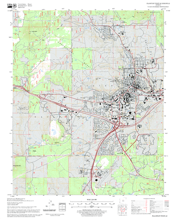
Flagstaff West Quadrangle, Arizona
United States Department of Agriculture Forest Service
United States Department of Agriculture Forestry Service topographical map of Flagstaff West, Coconino National Forest, Arizona.
Page Size: 21.75 x 27 in (552 x 686 mm)
No search results