


MapSherpa Catalog
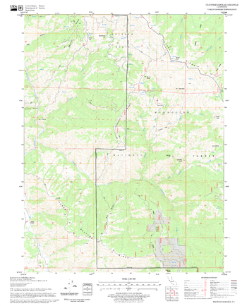
Thatcher Ridge Quadrangle, California
United States Forest Service
United States Department of Agriculture Forestry Service topographical map of Thatcher Ridge, Mendocino National Forest, California.
Page Size: 21.75 x 27 in (552 x 686 mm)
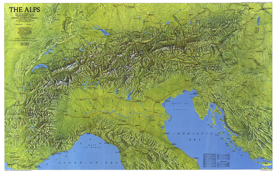
The Alps - Published 1985
National Geographic
This gorgeous relief map of the Alps, bold in color and rich in detail, paints a striking portrait of some of the most storied and spectacular mountain vistas in the world. Published in April 1985 as part of a two-map set with "The Traveler's Map of the Alps."
Page Size: 36 x 22.5 in (913 x 568 mm)

The Alps - Skiing by Train
2theAlps
Much like the iconic topological London Underground Map, this schematic style map sets out to simplify rail journeys to and through the Alps. Featuring 200 ski resorts across seven Alpine countries, it shows access cable cars, mountain railways, main lines and the Eurostar route, making it easy for adventurous travellers to plan their own independent journey to the mountains.
Page Size: 23.5 x 16.75 in (594 x 420 mm)

The Alps - Skiing by Train - Small
2theAlps
Much like the iconic topological London Underground Map, this schematic style map sets out to simplify rail journeys to and through the Alps. Featuring 200 ski resorts across seven Alpine countries, it shows access cable cars, mountain railways, main lines and the Eurostar route, making it easy for adventurous travellers to plan their own independent journey to the mountains.
Page Size: 16.75 x 11.75 in (420 x 297 mm)

The Alps - Skiing by Train with Index
2theAlps
Much like the iconic topological London Underground Map, this fully indexed schematic style map sets out to simplify rail journeys to and through the Alps. Featuring 200 ski resorts across seven Alpine countries, it shows access cable cars, mountain railways, main lines and the Eurostar route, making it easy for adventurous travellers to plan their own independent journey to the mountains.
Page Size: 23.5 x 20.75 in (594 x 525 mm)

The Alps - Skiing by Train with Index - Small
2theAlps
Much like the iconic topological London Underground Map, this fully indexed schematic style map sets out to simplify rail journeys to and through the Alps. Featuring 200 ski resorts across seven Alpine countries, it shows access cable cars, mountain railways, main lines and the Eurostar route, making it easy for adventurous travellers to plan their own independent journey to the mountains.
Page Size: 16.75 x 15 in (420 x 375 mm)
The Alps Region - Atlas of the World, 10th Edition
National Geographic
Austria, Slovenia, Switzerland
Page Size: 28 x 22 in (711 x 559 mm)
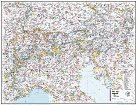
The Alps Region - Atlas of the World, 11th Edition
National Geographic
This Alps area map of physical and political features can fit in any space. Showcasing the mountainous region in stunning detail with state-of-the-art cartographic techniques delivering accuracy and exceptional quality, the innovative and engaging design makes the content easily accessible and user-friendly.
Ideal for classrooms with an emphasis on teaching geography or environmental themes. The inclusion of physical features gives your students a genuine feel for how our world appears.
This map uses a bright, easy to read color palette featuring blue oceans and stunning shaded relief that has been featured on National Geographic wall maps for over 75 years. It is drawn in the Albers Conic Equal-Area projection, which uses two standard parallels between which distortion is minimized, however scale and shape is not preserved.
Names of geographic features are carefully placed on the map to maintain legibility. A list of cantons of Switzerland and their capitals add details to this classic map.
This map is found in National Geographic's 11th Edition World Atlas and is now available as a stand alone product.
Page Size: 31.5 x 24 in (798 x 610 mm)
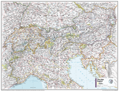
The Alps Region - Atlas of the World, 11th Edition - Compact
National Geographic
This Alps area map of physical and political features can fit in any space. Showcasing the mountainous region in stunning detail with state-of-the-art cartographic techniques delivering accuracy and exceptional quality, the innovative and engaging design makes the content easily accessible and user-friendly.
Ideal for classrooms with an emphasis on teaching geography or environmental themes. The inclusion of physical features gives your students a genuine feel for how our world appears.
This map uses a bright, easy to read color palette featuring blue oceans and stunning shaded relief that has been featured on National Geographic wall maps for over 75 years. It is drawn in the Albers Conic Equal-Area projection, which uses two standard parallels between which distortion is minimized, however scale and shape is not preserved.
Names of geographic features are carefully placed on the map to maintain legibility. A list of cantons of Switzerland and their capitals add details to this classic map.
This map is found in National Geographic's 11th Edition World Atlas and is now available as a stand alone product.
Page Size: 21.5 x 16.25 in (540 x 413 mm)
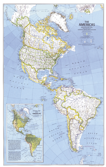
The Americas - Published 1979
National Geographic
Published in August 1979 with the article "Mysteries of Bird Migration," this map is half of a two-part feature on bird migration in the Americas. An inset physical map of the Americas brings to life the diverse geography of these two continents.
Page Size: 22.75 x 36 in (575 x 910 mm)
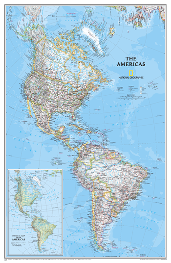
The Americas Classic
National Geographic
National Geographic's Classic style political wall map of The Americas features a bright color palette with blue oceans and the continents' terrain detailed in stunning shaded relief that has been a hallmark of National Geographic wall maps for over 75 years. A physical map of The Americas is provided as an inset. This map includes thousands of place names, accurate political boundaries, archeological sites, and major infrastructure networks such as roads, canals, ferry routes, railroads, and airports. Coastal bathymetry is shown with depth curves and soundings, and symbolism for water features and other land forms provides greater detail of the nature of the geography.
Page Size: 24 x 36.5 in (604 x 926 mm)
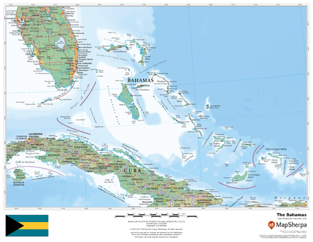
The Bahamas
MapSherpa
This beautiful map shows physical and political features for the Bahamas and surrounding areas. Relief shading and the use of different colours by height above sea level are both informative and attractive.
Page Size: 22 x 17 in (559 x 432 mm)
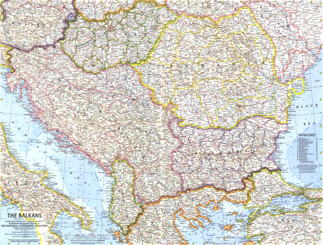
The Balkans - Published 1962
National Geographic
This map of the Balkans shows Yugoslavia a year before its name was changed to the "Socialist Federal Republic of Yugoslavia", and features a strong border design separating communist from non-communist countries. Published in February 1962 with the article "Yugoslavia's Window on the Adriatic."
Page Size: 25 x 19 in (631 x 478 mm)
The Balkans - Atlas of the World, 10th Edition
National Geographic
Albania, Bosnia and Herzegovina, Bulgaria, Croatia, Hungary, Kosovo, Macedonia, Moldova, Montenegro, North Kosovo, Romania, Serbia, Slovenia, Transdniestria
Page Size: 28 x 22 in (711 x 559 mm)
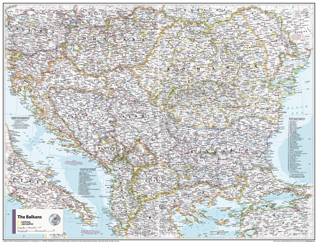
The Balkans - Atlas of the World, 11th Edition
National Geographic
This Balkans area map of physical and political features can fit in any space. Showcasing the region in stunning detail with state-of-the-art cartographic techniques delivering accuracy and exceptional quality, the innovative and engaging design makes the content easily accessible and user-friendly.
Ideal for classrooms with an emphasis on teaching geography or environmental themes. The inclusion of physical features gives your students a genuine feel for how our world appears.
This map uses a bright, easy to read color palette featuring blue oceans and stunning shaded relief that has been featured on National Geographic wall maps for over 75 years. It is drawn in Conic projection, in which an area of the earth is projected onto a cone whose vertex is usually above one of the poles, then unrolled onto a flat surface.
Names of geographic features are carefully placed on the map to maintain legibility. Lists of administrative units within the Balkan countries add details to this classic map.
This map is found in National Geographic's 11th Edition World Atlas and is now available as a stand alone product.
Page Size: 31.5 x 24 in (798 x 610 mm)
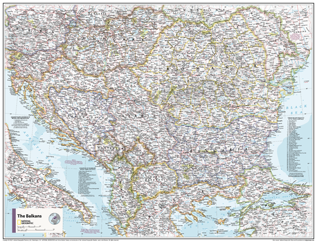
The Balkans - Atlas of the World, 11th Edition - Compact
National Geographic
This Balkans area map of physical and political features can fit in any space. Showcasing the region in stunning detail with state-of-the-art cartographic techniques delivering accuracy and exceptional quality, the innovative and engaging design makes the content easily accessible and user-friendly.
Ideal for classrooms with an emphasis on teaching geography or environmental themes. The inclusion of physical features gives your students a genuine feel for how our world appears.
This map uses a bright, easy to read color palette featuring blue oceans and stunning shaded relief that has been featured on National Geographic wall maps for over 75 years. It is drawn in Conic projection, in which an area of the earth is projected onto a cone whose vertex is usually above one of the poles, then unrolled onto a flat surface.
Names of geographic features are carefully placed on the map to maintain legibility. Lists of administrative units within the Balkan countries add details to this classic map.
This map is found in National Geographic's 11th Edition World Atlas and is now available as a stand alone product.
Page Size: 21.5 x 16.25 in (540 x 413 mm)
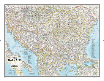
The Balkans Classic
National Geographic
The Countries of the Balkans wallmap features thousands of place-names, political boundaries, national parks, and major infrastructure networks such as roads, canals, ferry routes, and railroads. The region's diverse terrain is detailed through shaded relief, coastal bathymetry, and symbols for water features and other landforms. Elevations of major peaks as well as depth soundings are expressed in meters. The signature Classic style map uses a bright, easy to read color palette featuring blue oceans and stunning shaded relief that has been featured on National Geographic wall maps for over 75 years.The map covers Albania, Austria, Bosnia and Herzegovina, Bulgaria, Croatia, Hungary, Kosovo, Macedonia, Moldova, Montenegro, Romania, Slovenia, as well as the outlying border countries of Greece, Italy, Slovakia, Serbia, Turkey and Ukraine.It also includes listings for the counties of Hungary and Romania along with their respective capitals and the administrative divisions of Bosnia and Herzegovina.
Page Size: 30.25 x 23.5 in (768 x 597 mm)
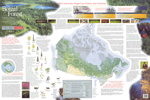
The Boreal Forest
Natural Resources Canada
Contained within the Atlas of Canada Poster Map Series, is a poster which shows the location of boreal forest in Canada. The two sided poster graphically depicts the importance of the boreal forest as a dynamic system of shrubs, trees, herbs, mosses, micro-organisms, insects and animals interacting among themselves and with rock, soil, water and air. The history and economy of the forest is overviewed from 8,000 years ago to today. The boreal forest is a huge, resilient and constantly changing ecosystem, driven by the long term succession of tree species and the animals which inhabit them. The poster map graphically depicts the challenges of sustainable forest management of this beautiful and expansive resource. The Boreal Forest Poster Map is jointly published by the Canadian Forest Service and Geomatics Canada of the Department of Natural Resources Canada and Canadian Geographic Enterprises, publisher of Canadian Geographic magazine.
Page Size: 39 x 26 in (986 x 659 mm)
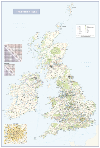
The British Isles
Cosmographics
An informative and attractive map of the British Isles showing main roads, railways, ferries , counties, towns and cities by population, National Parks and Areas of Outstanding Natural Beauty. There is also the option to include a road distance charts for the UK and Ireland on your print. Ideal for the office or home. Designed to be fully inclusive and work for everyone, including those with colour vision deficiency (CVD).
Page Size: 29.5 x 43.5 in (745 x 1100 mm)
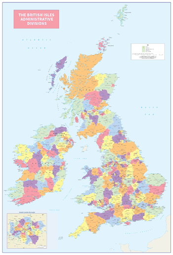
The British Isles Administrative Divisions
Cosmographics
An informative and attractive map of the British Isles showing the administrative divisions. Clearly shows the counties and regions in the United Kingdom and Ireland. Ideal for the office or home. Designed to be fully inclusive and to work for everyone, including those with colour vision deficiency (CVD).
Page Size: 29.5 x 43.5 in (745 x 1099 mm)
No search results