


MapSherpa Catalog
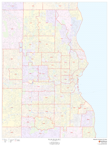
Milwaukee, Wisconsin ZIP Codes
MapSherpa
This map of Milwaukee, Wisconsin shows ZIP code areas overlaid on a road map. Ideal for planning of deliveries, home services, sales territories, real estate and much more. Base map features include all roads with major roads and highways labelled; neighborhood names; railways; and high level land use such as parks and recreation areas, industrial areas and hospital campuses.
Page Size: 36 x 48 in (914 x 1219 mm)
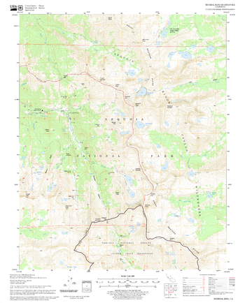
Mineral King Quadrangle, California
United States Forest Service
United States Department of Agriculture Forestry Service topographical map of Mineral King, Sequoia National Forest, California.
Page Size: 21.75 x 27 in (552 x 686 mm)
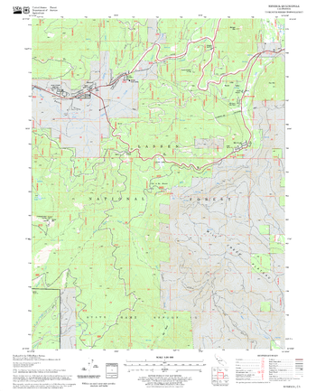
Mineral Quadrangle, California
United States Forest Service
United States Department of Agriculture Forestry Service topographical map of Mineral, Lassen National Forest, California.
Page Size: 21.75 x 27 in (552 x 686 mm)

Minerals, east sheet (1906)
Natural Resources Canada
Contained within the 1st Edition (1906) of the Atlas of Canada is a map that shows the mineralogy and locations of mineral deposits for Eastern Canada circa 1906. A line drawn across the map indicates where the Northern, large portion of the Dominion is virtually unprosecuted except along the valleys of the principal rivers, including the Southern, partly prospected areas. Different symbols indicate which type of mineral is located in a specific location. The map includes major cities, rivers, major bodies of water, and some railway systems.
Page Size: 24 x 17.25 in (608 x 434 mm)

Minerals, west sheet (1906)
Natural Resources Canada
Contained within the 1st Edition (1906) of the Atlas of Canada is a map that shows the mineralogy and locations of mineral deposits for Western Canada circa 1906. A line drawn across the map indicates where the Northern, large portion of the Dominion is virtually unprosecuted except along the valleys of the principal rivers, including the Southern, partly prospected areas. Different symbols indicate which type of mineral is located in a specific location. The map includes major cities, rivers, major bodies of water, and some railway systems.
Page Size: 24 x 17.25 in (606 x 434 mm)
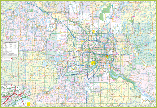
Minneapolis St. Paul and Vicinity Map
GM Johnson
Minneapolis St Paul & Vicinity, Minnesota Regional Map. Including: Brooklyn Park, Burnsville, Cottage Grove, Eagan, Eden Prairie, Maple Grove, Minnetonka, Plymouth, Red Wing, St. Cloud, Woodbury & Adjoining Communities and Counties. Enlargement of Downtown Saint Paul.
Page Size: 39.5 x 27.25 in (1003 x 692 mm)
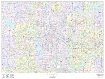
Minneapolis, Minnesota - Landscape
MapSherpa
This landscape-oriented map of Minneapolis, Minnesota shows detailed street level information including extensive street labeling. Ideal for planning of deliveries, home services, sales territories, real estate and much more. Base map features include all roads with major roads and highways labelled; neighborhood names; railways; high level land use such as parks and recreation areas, industrial areas and hospital campuses; and a variety of points of interest including schools, libraries, stadiums, museums, border crossings and more.
Page Size: 48 x 36 in (1219 x 914 mm)
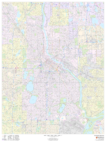
Minneapolis, Minnesota - Portrait
MapSherpa
This portrait-oriented map of Minneapolis, Minnesota shows detailed street level information including extensive street labeling. Ideal for planning of deliveries, home services, sales territories, real estate and much more. Base map features include all roads with major roads and highways labelled; neighborhood names; railways; high level land use such as parks and recreation areas, industrial areas and hospital campuses; and a variety of points of interest including schools, libraries, stadiums, museums, border crossings and more.
Page Size: 36 x 48 in (914 x 1219 mm)
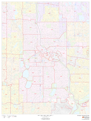
Minneapolis, Minnesota ZIP Codes
MapSherpa
This map of Minneapolis, Minnesota shows ZIP code areas overlaid on a road map. Ideal for planning of deliveries, home services, sales territories, real estate and much more. Base map features include all roads with major roads and highways labelled; neighborhood names; railways; and high level land use such as parks and recreation areas, industrial areas and hospital campuses.
Page Size: 36 x 48 in (914 x 1219 mm)
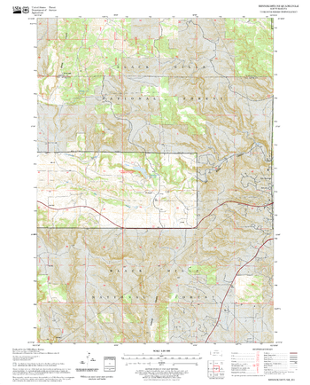
Minnekahta NE Quadrangle, South Dakota
United States Forest Service
United States Department of Agriculture Forestry Service topographical map of Minnekahta NE, Black Hills National Forest, South Dakota.
Page Size: 21.75 x 27 in (552 x 686 mm)
Minnekahta Quadrangle, South Dakota
United States Forest Service
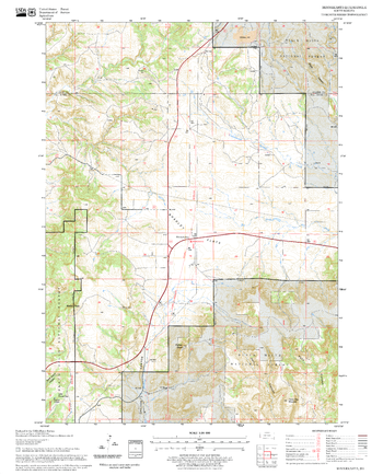
United States Department of Agriculture Forestry Service topographical map of Minnekahta, Black Hills National Forest, South Dakota.
Page Size: 21.75 x 27 in (552 x 686 mm)
Minnesota Counties Map - Extra Large
MapSherpa
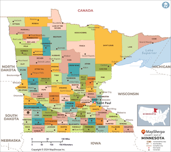
This map has been created exclusively for MapSherpa, and designed for reference or business use. Clear and clean colors & fonts matched with cartographic research makes this map of the 87 Minnesota counties easily readable and useful.
Page Size: 60 x 53.75 in (1524 x 1360 mm)
Minnesota Counties Map - Large
MapSherpa
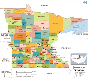
This map has been created exclusively for MapSherpa, and designed for reference or business use. Clear and clean colors & fonts matched with cartographic research makes this map of the 87 Minnesota counties easily readable and useful.
Page Size: 48 x 43 in (1219 x 1088 mm)
Minnesota Counties Map - Standard
MapSherpa
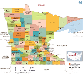
This map has been created exclusively for MapSherpa, and designed for reference or business use. Clear and clean colors & fonts matched with cartographic research makes this map of the 87 Minnesota counties easily readable and useful.
Page Size: 36 x 32.25 in (914 x 816 mm)
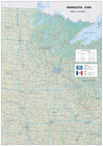
Minnesota Iowa
Sparrow Maps
A detailed physical map of Minnesota and Iowa, USA, with land cover and relief features and including National Parks showing administrative divisions, state capitals, county seats and other settlements, roads and airports. The state flag, area and population are included for each state. One of a series of attractive maps of US states giving a comprehensive overview.
Page Size: 23.5 x 33.25 in (594 x 841 mm)
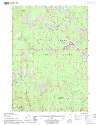
Minnesota Ridge Quadrangle, South Dakota
United States Forest Service
United States Department of Agriculture Forestry Service topographical map of Minnesota Ridge, Black Hills National Forest, South Dakota.
Page Size: 21.75 x 27 in (552 x 686 mm)
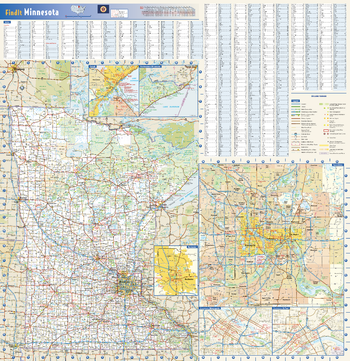
Minnesota State Wall Map
Globe Turner
This colorful, easy-to-read state map of Minnesota identifies all major thoroughfares, secondary roads, freeway interchanges, rest areas, distance markers, landmarks, recreational areas, and more. Shaded relief on the state map provides a three-dimensional sense of Minnesota’s topography. Detailed city inset maps of Duluth, Rochester and the Twin Cities are based on the latest street information from our cartographic experts. Up-to-date insets of downtown Minneapolis and downtown St. Paul are included as well. County and city indices make it simple to locate even the smallest town. City type sizes reflect the 2020 U.S. Census.
Page Size: 24 x 24.75 in (610 x 629 mm)
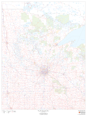
Minnesota ZIP Code Map
MapSherpa
This map of Minnesota shows ZIP codes overlaid on a road map. Base map features include county boundaries, major road network features, and state and national parks and conservation areas.
Page Size: 36 x 48 in (914 x 1219 mm)
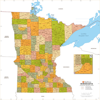
Minnesota ZIP Code Map with Counties - Extra Large
MapSherpa
This map has been created exclusively for MapSherpa, and designed for business or reference use. Clear and clean colors & fonts matched with cartographic research makes this map of Minnesota's counties and ZIP codes easily readable and useful.
Page Size: 60 x 60 in (1524 x 1524 mm)
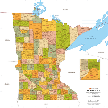
Minnesota ZIP Code Map with Counties - Large
MapSherpa
This map has been created exclusively for MapSherpa, and designed for business or reference use. Clear and clean colors & fonts matched with cartographic research makes this map of Minnesota's counties and ZIP codes easily readable and useful.
Page Size: 48 x 48 in (1219 x 1219 mm)
No search results