top of page
Minnesota State Wall Map
Globe Turner
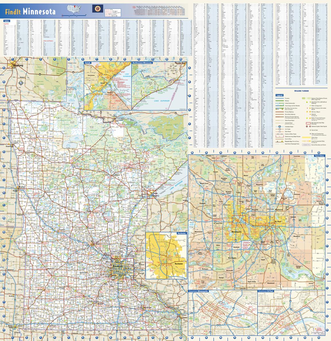
This colorful, easy-to-read state map of Minnesota identifies all major thoroughfares, secondary roads, freeway interchanges, rest areas, distance markers, landmarks, recreational areas, and more. Shaded relief on the state map provides a three-dimensional sense of Minnesota’s topography. Detailed city inset maps of Duluth, Rochester and the Twin Cities are based on the latest street information from our cartographic experts. Up-to-date insets of downtown Minneapolis and downtown St. Paul are included as well. County and city indices make it simple to locate even the smallest town. City type sizes reflect the 2020 U.S. Census.
Page Size: 24 x 24.75 in (610 x 629 mm)
Buy this map on MapTrove.ca or MapTrove.com
bottom of page