


MapSherpa Catalog
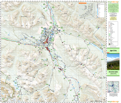
Jasper & Area
GoTrekkers
Jasper & Area
Page Size: 41.25 x 35.25 in (1044 x 895 mm)
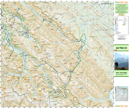
Jasper Maligne Lake
GoTrekkers
Jasper Maligne Lake
Page Size: 39 x 32.5 in (991 x 826 mm)
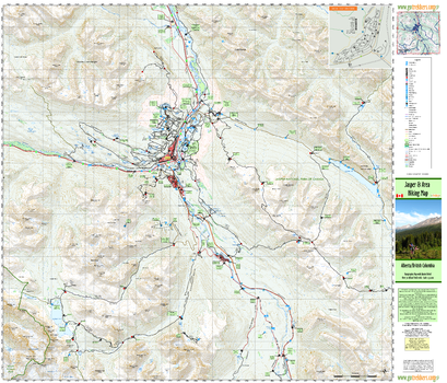
Jasper and Area Hiking Map
GoTrekkers
Jasper and Area Hiking Map
Page Size: 41.5 x 35.5 in (1054 x 902 mm)
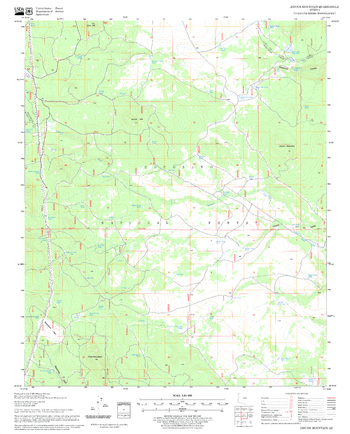
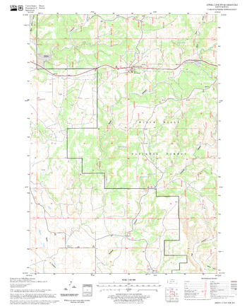
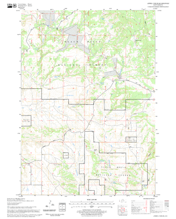
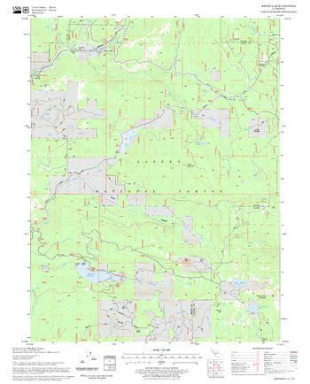
Jaycox Mountain Quadrangle, Arizona
United States Department of Agriculture Forest Service
United States Department of Agriculture Forestry Service topographical map of Jaycox Mountain, Coconino National Forest, Arizona.
Page Size: 21.75 x 27 in (552 x 686 mm)
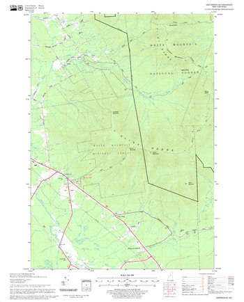
Jefferson Quadrangle, New Hampshire-Vermont
United States Department of Agriculture Forest Service
United States Department of Agriculture Forestry Service topographical map of Jefferson, White Mountains National Forest, New Hampshire-Vermont.
Page Size: 21.75 x 27 in (552 x 686 mm)
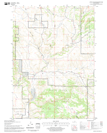
Jellico Quadrangle, California
United States Department of Agriculture Forest Service
United States Department of Agriculture Forestry Service topographical map of Jellico, Lassen National Forest, California.
Page Size: 21.75 x 27 in (552 x 686 mm)
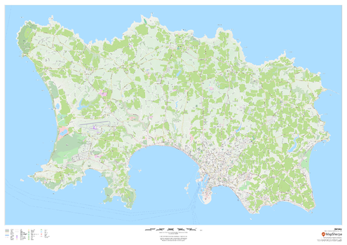
Jersey - Channel Islands
MapSherpa
This wall map of Jersey in the Channel Islands features a clean design and rich detail designed for the traveller. Street mapping of the capital Saint Helier is included, along with land use, points of interest, and many of the building outlines. Walking paths throughout the island are displayed to assist with the local visitor.
Page Size: 47 x 33.25 in (1189 x 841 mm)
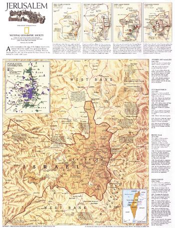
Jerusalem - Published 1996
National Geographic
This thorough portrait of Jerusalem contains a brief history of the city, a historical timeline, maps of the various periods, and a modern look at this enigmatic holy place. Published in April 1996, this map accompanied the "Jerusalem: The Old City" map and the article "The Three Faces of Jerusalem."
Page Size: 15.5 x 20.5 in (394 x 514 mm)
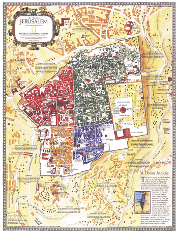
Jerusalem, the Old City - Published 1996
National Geographic
This map of Old City Jerusalem features the city's many historical sites. The Christian, Armenian, Muslim, and Jewish quarters are shown in distinct colors, and there are notes describing the most significant sacred sites in the old walled city and beyond. Published in April 1996, this map accompanied the"Jerusalem" map and the article "The Three Faces of Jerusalem."
Page Size: 15.5 x 20.5 in (394 x 515 mm)
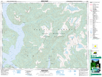
Jervix Inlet - 92 G/13 - British Columbia
Natural Resources Canada
Canadian topographic map of Jervix Inlet, British Columbia. NTS sheet 092G13 Edition 3.
Page Size: 34.25 x 26 in (869 x 659 mm)
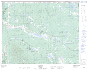
Jesmond - 92 P/5 - British Columbia
Natural Resources Canada
Canadian topographic map of Jesmond, British Columbia. NTS sheet 092P05 Edition 2.
Page Size: 31.75 x 25.25 in (802 x 641 mm)
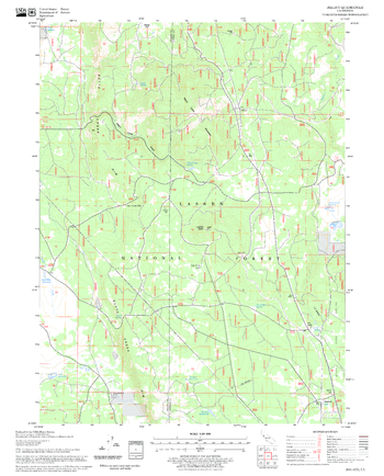
Jewel Cave NW Quadrangle, South Dakota
United States Department of Agriculture Forest Service
United States Department of Agriculture Forestry Service topographical map of Jewel Cave NW, Black Hills National Forest, South Dakota.
Page Size: 21.75 x 27 in (552 x 686 mm)

Jewel Cave Quadrangle, South Dakota
United States Department of Agriculture Forest Service
United States Department of Agriculture Forestry Service topographical map of Jewel Cave, Black Hills National Forest, South Dakota.
Page Size: 21.75 x 27 in (552 x 686 mm)
Jewel Cave SE Quadrangle, South Dakota
United States Department of Agriculture Forest Service
United States Department of Agriculture Forestry Service topographical map of Jewel Cave SE, Black Hills National Forest, South Dakota.
Page Size: 21.75 x 27 in (552 x 686 mm)
Jewel Cave SW Quadrangle, South Dakota
United States Department of Agriculture Forest Service
United States Department of Agriculture Forestry Service topographical map of Jewel Cave SW, Black Hills National Forest, South Dakota.
Page Size: 21.75 x 27 in (552 x 686 mm)
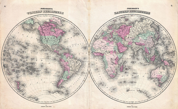
Johnson Map of the World on Hemisphere Projection (1862)
Artokoloro
1862 hemisphere map of the World by American map publisher Alvin Jewett Johnson. Full title: Johnson's Western Hemisphere - Johnson's Eastern Hemisphere
Page Size: 20.75 x 12.75 in (525 x 323 mm)
Johnsondale Quadrangle, California
United States Department of Agriculture Forest Service
United States Department of Agriculture Forestry Service topographical map of Johnsondale, Sequoia National Forest, California.
Page Size: 21.75 x 27 in (552 x 686 mm)
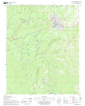
Jonesville Quadrangle, California
United States Department of Agriculture Forest Service
United States Department of Agriculture Forestry Service topographical map of Jonesville, Lassen National Forest, California.
Page Size: 21.75 x 27 in (552 x 686 mm)
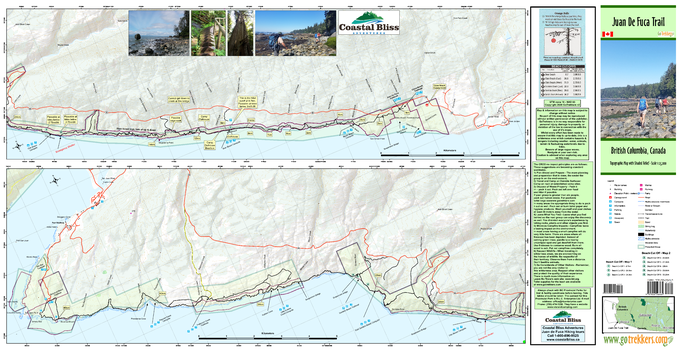
Juan De Fuca Trail
GoTrekkers
Juan De Fuca Trail
Page Size: 39 x 20 in (991 x 508 mm)
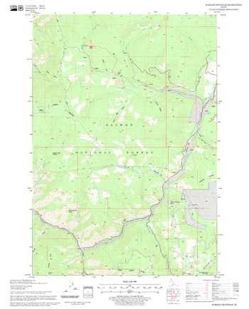
Jureano Mountain Quadrangle, Idaho
United States Department of Agriculture Forest Service
United States Department of Agriculture Forestry Service topographical map of Jureano Mountain, Salmon-Chalis National Forest, Idaho.
Page Size: 21.75 x 27 in (552 x 686 mm)
No search results