United States Department of Agriculture Forest Service
Dutch Flat Quadrangle, California
United States Department of Agriculture Forestry Service topographical map of Dutch Flat, Tahoe National Forest, California.
Page Size: 21.75 x 27 in (552 x 686 mm)
Dutton Hill Quadrangle, Arizona
United States Department of Agriculture Forestry Service topographical map of Dutton Hill, Coconino National Forest, Arizona.
Page Size: 21.75 x 27 in (552 x 686 mm)
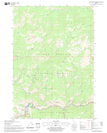
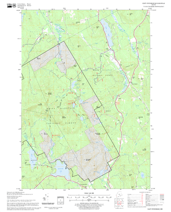
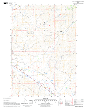
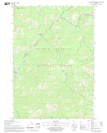
East Basin Creek Quadrangle, Idaho
United States Department of Agriculture Forestry Service topographical map of East Basin Creek, Salmon-Chalis National Forest, Idaho.
Page Size: 21.75 x 27 in (552 x 686 mm)
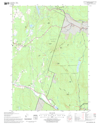
East Haverhill Quadrangle, New Hampshire-Vermont
United States Forestry Service topographical map of East Haverhill, New Hampshire-Vermont
Page Size: 21.75 x 27 in (552 x 686 mm)
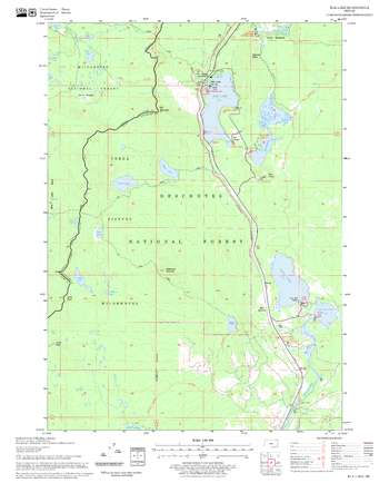
East Lake Quadrangle, Oregon
United States Department of Agriculture Forestry Service topographical map of East Lake, Deschutes National Forest, Oregon.
Page Size: 21.75 x 27 in (552 x 686 mm)
East Middlebury Quadrangle, New Hampshire-Vermont
United States Forestry Service topographical map of East Middlebury, New Hampshire-Vermont
Page Size: 21.75 x 27 in (552 x 686 mm)
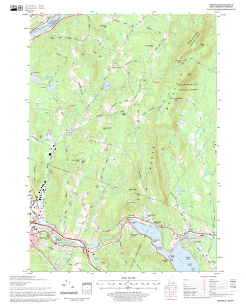
East Stoneham Quadrangle, New Hampshire-Vermont
United States Forestry Service topographical map of East Stoneham, New Hampshire-Vermont
Page Size: 21.75 x 27 in (552 x 686 mm)
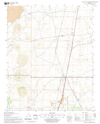
East of S P Mountain Quadrangle, Arizona
United States Department of Agriculture Forestry Service topographical map of East of S P Mountain, Coconino National Forest, Arizona.
Page Size: 21.75 x 27 in (552 x 686 mm)
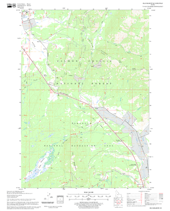
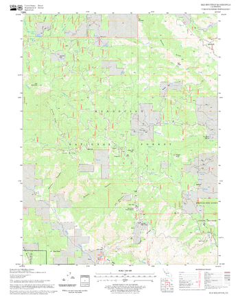
East of Salmon Quadrangle, Idaho
United States Department of Agriculture Forestry Service topographical map of East of Salmon, Salmon-Chalis National Forest, Idaho.
Page Size: 21.75 x 27 in (552 x 686 mm)
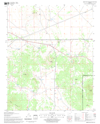
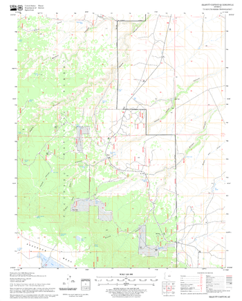
Ebert Mountain Quadrangle, Arizona
United States Department of Agriculture Forestry Service topographical map of Ebert Mountain, Coconino National Forest, Arizona.
Page Size: 21.75 x 27 in (552 x 686 mm)
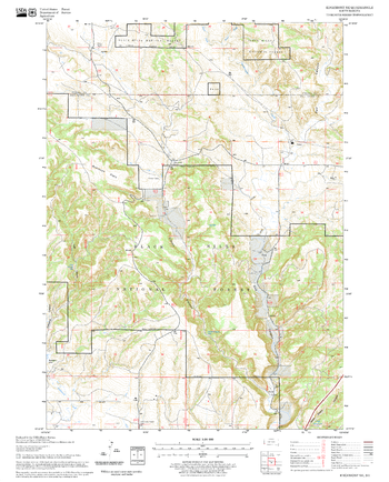
Edgemont NE Quadrangle, South Dakota
United States Department of Agriculture Forestry Service topographical map of Edgemont NE, Black Hills National Forest, South Dakota.
Page Size: 21.75 x 27 in (552 x 686 mm)
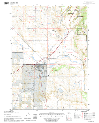
Edgemont Quadrangle, South Dakota
United States Department of Agriculture Forestry Service topographical map of Edgemont, Black Hills National Forest, South Dakota.
Page Size: 21.75 x 27 in (552 x 686 mm)
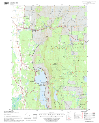
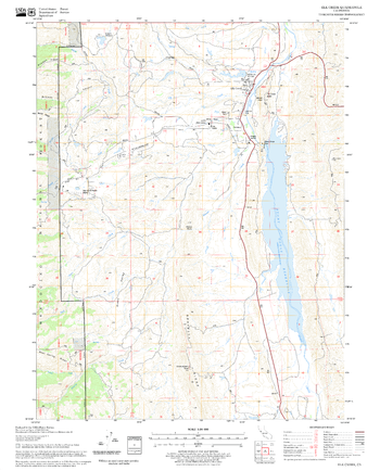
Elevenmile Creek Quadrangle, Idaho
United States Department of Agriculture Forestry Service topographical map of Elevenmile Creek, Salmon-Chalis National Forest, Idaho.
Page Size: 21.75 x 27 in (552 x 686 mm)
Elk Creek Quadrangle, California
United States Department of Agriculture Forestry Service topographical map of Elk Creek, Mendocino National Forest, California.
Page Size: 21.75 x 27 in (552 x 686 mm)
Elk Lake Quadrangle, Oregon
United States Department of Agriculture Forestry Service topographical map of Elk Lake, Deschutes National Forest, Oregon.
Page Size: 21.75 x 27 in (552 x 686 mm)
Elk Meadow Quadrangle, Idaho
United States Department of Agriculture Forestry Service topographical map of Elk Meadow, Salmon-Chalis National Forest, Idaho.
Page Size: 21.75 x 27 in (552 x 686 mm)
Elk Mountain Quadrangle, California
United States Department of Agriculture Forestry Service topographical map of Elk Mountain, Mendocino National Forest, California.
Page Size: 21.75 x 27 in (552 x 686 mm)
Elliott Canyon Quadrangle, Arizona
United States Department of Agriculture Forestry Service topographical map of Elliott Canyon, Coconino National Forest, Arizona.
Page Size: 21.75 x 27 in (552 x 686 mm)
Enfield Quadrangle, New Hampshire-Vermont
United States Forestry Service topographical map of Enfield, New Hampshire-Vermont
Page Size: 21.75 x 27 in (552 x 686 mm)
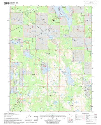
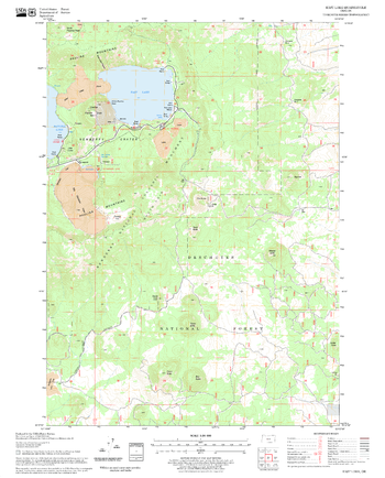
English Mountain Quadrangle, California
United States Department of Agriculture Forestry Service topographical map of English Mountain, Tahoe National Forest, California.
Page Size: 21.75 x 27 in (552 x 686 mm)