


National Geographic

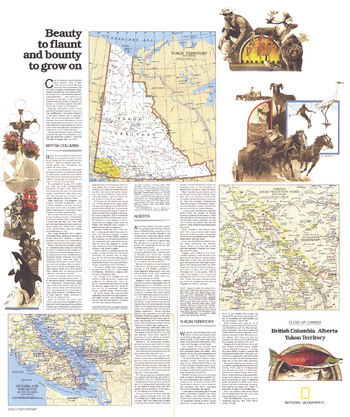
British Columbia, Alberta and the Yukon Territory Theme - Published 1978
Published in April 1978 as half of a two-map set showcasing Canada's western provinces, the "British Columbia, Alberta, Yukon Territory: Beauty to Flaunt and Bounty to Grown On" map provides a remarkable amount of information about the history and unique sites which make the region a popular tourist destination. Together, the two maps accompanied the article "Yukon Fever: Call of the North."
Page Size: 22.75 x 27 in (575 x 686 mm)
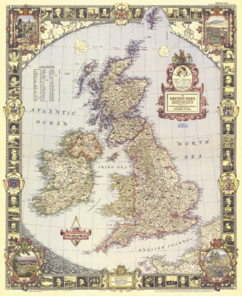
British Isles - Published 1949
With its elaborate, illustrated border and stylish legend, this map of the British Isles was made for framing. Published in April 1949, it is both a work of art as well as an informative map, containing an abundance of places of interest including cathedrals, ruins, battlefields, and more.
Page Size: 26.5 x 32.5 in (670 x 820 mm)
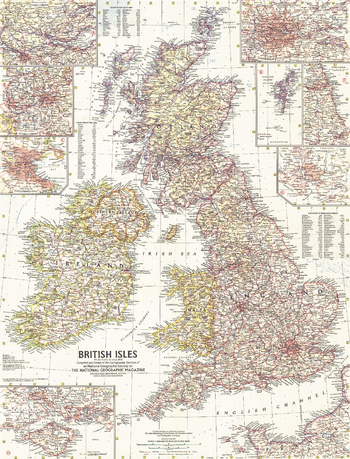
British Isles - Published 1958
This map of the British Isles includes detailed insets of major cities as well as the Isle of Wight and the Shetland Islands. Includes counties and their abbreviations. Published in July 1958.
Page Size: 19 x 25 in (481 x 631 mm)
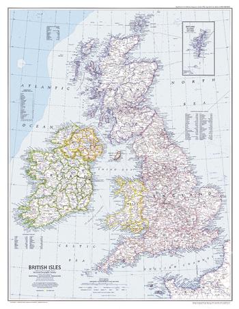
British Isles - Published 1979
This attractive modern map of the British Isles includes ferry routes along with places of interest such as ruins and battle sites. Published in October 1979 as a companion to the historical map "Medieval England".
Page Size: 22.75 x 29.5 in (576 x 743 mm)
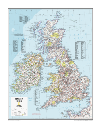
British Isles - Atlas of the World, 10th Edition
null
Page Size: 22 x 28 in (559 x 711 mm)
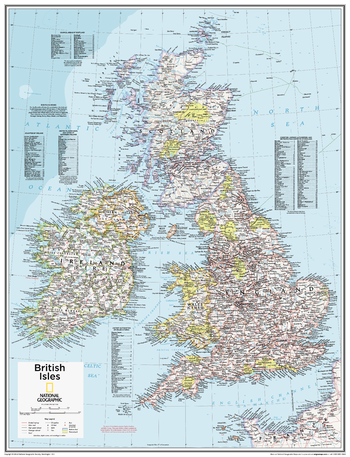
British Isles - Atlas of the World, 10th Edition – Compact
This British Isles map of physical and political features can fit in any space. Showcasing the country and surrounding regions in stunning detail with state-of-the-art cartographic techniques delivering accuracy and exceptional quality, the innovative and engaging design makes the content easily accessible and user-friendly. Ideal for classrooms with an emphasis on teaching geography or environmental themes. The inclusion of physical features gives your students a genuine feel for how our world appears. This map uses a bright, easy to read color palette featuring blue oceans and stunning shaded relief that has been featured on National Geographic wall maps for over 75 years. It is drawn in a Polyconic projection, where the parallels are all non-concentric circular arcs. Names of geographic features are carefully placed on the map to maintain legibility. An inset of the Shetland Islands and details on the counties, districts and boroughs of both Britain and Ireland add details to this classic map. National Geographic's maps are the standard by which all other reference maps are measured. The maps are meticulously researched and adhere to National Geographic's convention of making independent, apolitical decisions based on extensive research using multiple authoritative sources. This map is found in National Geographic's 10th Edition World Atlas, published to mark the 100th anniversary of National Geographic Cartography, and is now available as a stand alone product.
Page Size: 16 x 21 in (406 x 531 mm)
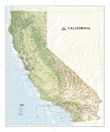
California
This map offers a dramatic visualization of California's physical geography. Land cover colorization distinguishes forests and deserts. Stunning shaded relief depicts mountains and ocean depths. The map locates and names cities, towns, islands airports, national and state parks, military bases, mountains (with peak elevations), lakes, rivers, and other natural features.
Page Size: 35.25 x 42.25 in (894 x 1071 mm)
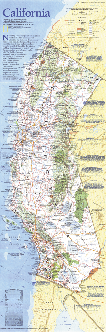
California - Published 1993
This map of California highlights an abundance of parks, forests, beaches, wildlife refuges, ski areas, and more. Notes on such areas as Lake Tahoe, Yosemite, the Gold Country, and Death Valley provide additional information about the spectacular sites to be found in this diverse and exciting state. Published in July 1993.
Page Size: 10 x 31.25 in (253 x 792 mm)
California - Published 1954
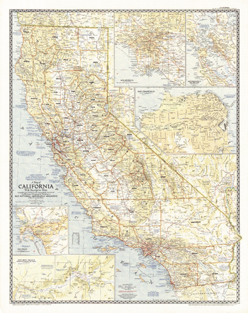
This attractive map of California was the first map National Geographic published of "The Golden State". California is the third largest state by land area and the most populous state in the United States. Its diverse places of interest are highlighted with descriptive notes. Insets reveal detail of the largest cities -- Los Angeles, San Francisco, and San Diego -- in addition to the San Francisco Bay Region and the Yosemite Valley. Published in June 1954.
Page Size: 30 x 38 in (761 x 962 mm)
Canada - Published 1961
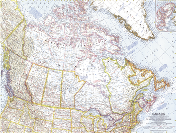
This map of Canada, the "Great White North", is a fine example of the detailed and vibrant cartography for which National Geographic is famous. Of particular note is the boundary marking the northern limit of wooded country. Published in December 1961 with the article "Canada, My Country."
Page Size: 25 x 19 in (631 x 478 mm)
Canada - Published 1985
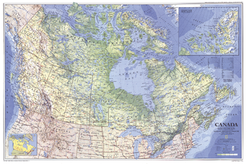
Canada's diverse geography is brilliantly displayed in this exceptional map of the Great White North. Published in November 1985 as a companion to the article "Kluane: Canada's Icy Wilderness."
Page Size: 34 x 22.75 in (861 x 574 mm)
Canada - Published 1936
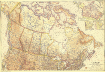
This stunning map is truly unique in the unusual pastel hues used to color the geographical regions. As informative as it is beautiful, this work features insets with details about Canada's climate, natural resources, as well as the routes of explorers. Published in June of 1936, it accompanied the article "Exploring Yukon's Glacial Stronghold."
Page Size: 39 x 26.75 in (986 x 677 mm)
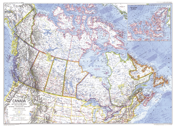
Canada - Published 1972
Second in sheer landmass only to Russia, Canada spans six time zones and is rich in biodiversity. This colorful and detailed Canada map was published in March 1972 with a companion poster - a remarkable painting by artist-naturalist Jay H. Matternes entitled "Ice Age Mammals of the Alaskan Tundra."
Page Size: 31.75 x 22.75 in (800 x 576 mm)
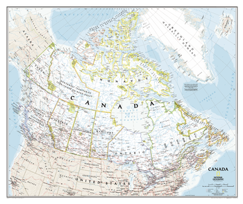
Canada Classic
This classic-style wall map of Canada features thousands of place names, accurate political boundaries, national parks, archeological sites, and major infrastructure networks such as roads, canals, ferry routes, and railroads. Canada's diverse terrain is detailed through accurate shaded relief, coastal bathymetry, and symbolism for water features and other landforms. It depicts Canada and the areas surrounding the Great Lakes. Includes Canadian provinces and US State boundaries.
Page Size: 38 x 32 in (965 x 813 mm)
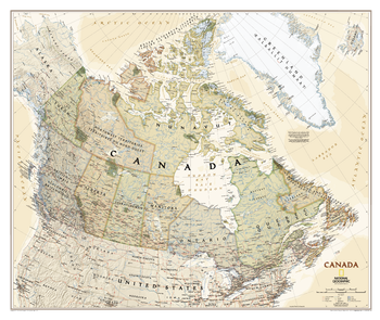
Canada Executive
This executive-style wall map of Canada features thousands of place names, accurate political boundaries, national parks, archeological sites, and major infrastructure networks such as roads, canals, ferry routes, and railroads. Canada's diverse terrain is detailed through accurate shaded relief, coastal bathymetry, and symbolism for water features and other landforms. It depicts Canada and the areas surrounding the Great Lakes. Includes Canadian provinces and US State boundaries.
Page Size: 38 x 32 in (965 x 813 mm)
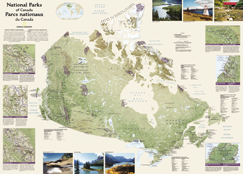
Canada National Parks
Wall map of Canada's National Parks highlighting the magnificent parks across the country. Colorful photos capture some of the diverse landscapes preserved and protected by the national park system. Separate inset maps provide detail and descriptions of several of the parks including Jasper, Yoho, Banff, Riding Mountain, Gros Morne and Cape Breton Highlands.
Page Size: 42 x 30 in (1067 x 762 mm)
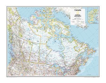
Canada Political - Atlas of the World, 10th Edition
null
Page Size: 28 x 22 in (711 x 559 mm)
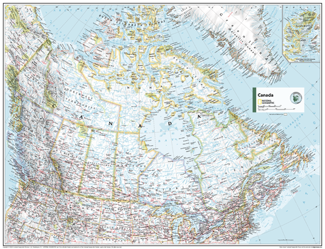
Canada Political - Atlas of the World, 11th Edition
This Canada map can fit in any space. Showcasing the country in stunning detail with state-of-the-art cartographic techniques delivering accuracy and exceptional quality, the innovative and engaging design makes the content easily accessible.
Ideal for classrooms with an emphasis on teaching geography or environmental themes. Physical features give your students a genuine feel for how our world appears.
This map uses a bright, easy to read color palette featuring blue oceans and stunning shaded relief that has been featured on National Geographic wall maps for over 75 years. Drawn in the Azimuthal Equidistant projection, this map ensures that all points on the map are at proportionally correct distances from the center point.
Names of geographic features are carefully placed on the map to maintain legibility. Inset map features an enlarged representation of Ellesmere Island with added detail. Bilingual detailing is found throughout.
This map is found in National Geographic's 11th Edition World Atlas and is now available as a stand alone product.
Page Size: 31.5 x 24 in (798 x 610 mm)
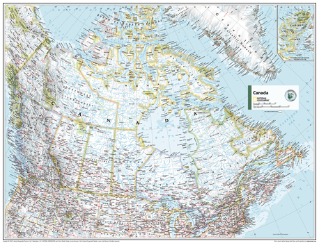
Canada Political - Atlas of the World, 11th Edition - Compact
This Canada map can fit in any space. Showcasing the country in stunning detail with state-of-the-art cartographic techniques delivering accuracy and exceptional quality, the innovative and engaging design makes the content easily accessible.
Ideal for classrooms with an emphasis on teaching geography or environmental themes. Physical features give your students a genuine feel for how our world appears.
This map uses a bright, easy to read color palette featuring blue oceans and stunning shaded relief that has been featured on National Geographic wall maps for over 75 years. Drawn in the Azimuthal Equidistant projection, this map ensures that all points on the map are at proportionally correct distances from the center point.
Names of geographic features are carefully placed on the map to maintain legibility. Inset map features an enlarged representation of Ellesmere Island with added detail. Bilingual detailing is found throughout.
This map is found in National Geographic's 11th Edition World Atlas and is now available as a stand alone product.
Page Size: 21.5 x 16.25 in (540 x 413 mm)
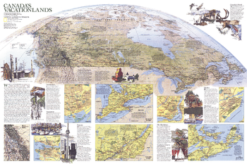
Canada Vacationlands - Published 1985
Explore Canada's diverse vacationlands with this educational map printed in November 1985 to supplement the political and physical map of the country and the article "Kluane: Canada's Icy Wilderness Park." From world-class wilderness to spirited cities, Canada has something for every vacationer.
Page Size: 34 x 22.75 in (861 x 574 mm)