


National Geographic

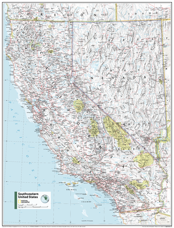
Southwestern U.S. - Atlas of the World, 11th Edition
This Southwestern USA map of physical and political features can fit in any space. Showcasing the region in stunning detail with state-of-the-art cartographic techniques delivering accuracy and exceptional quality, the innovative and engaging design makes the content easily accessible and user-friendly.
Ideal for classrooms with an emphasis on teaching geography or environmental themes. The inclusion of physical features gives your students a genuine feel for how our world appears.
This map uses a bright, easy to read color palette featuring blue oceans and stunning shaded relief that has been featured on National Geographic wall maps for over 75 years. It is drawn in the Albers Conic Equal-Area projection, which uses two standard parallels between which distortion is minimized, however scale and shape are not preserved.
This map is found in National Geographic's 11th Edition World Atlas and is now available as a stand alone product.
Page Size: 24 x 31.5 in (610 x 798 mm)
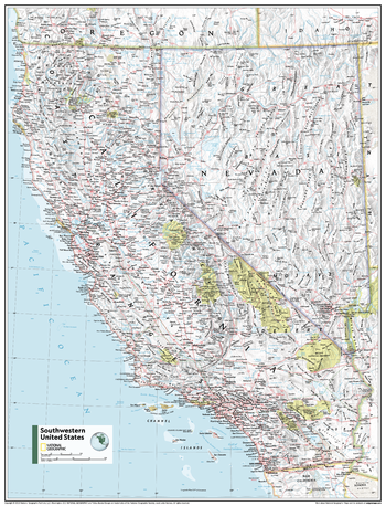
Southwestern U.S. - Atlas of the World, 11th Edition - Compact
This Southwestern USA map of physical and political features can fit in any space. Showcasing the region in stunning detail with state-of-the-art cartographic techniques delivering accuracy and exceptional quality, the innovative and engaging design makes the content easily accessible and user-friendly.
Ideal for classrooms with an emphasis on teaching geography or environmental themes. The inclusion of physical features gives your students a genuine feel for how our world appears.
This map uses a bright, easy to read color palette featuring blue oceans and stunning shaded relief that has been featured on National Geographic wall maps for over 75 years. It is drawn in the Albers Conic Equal-Area projection, which uses two standard parallels between which distortion is minimized, however scale and shape are not preserved.
This map is found in National Geographic's 11th Edition World Atlas and is now available as a stand alone product.
Page Size: 16.25 x 21.5 in (413 x 540 mm)
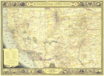
Southwestern United States - Published 1940
The Southwestern United States map of June 1940 contains an abundance of notes on historical sites and places of interest as well as the routes of explorers and the dates of their expeditions. The map border contains scenic illustrations and the state seals of the southwestern states. A unique collector's map.
Page Size: 34.5 x 25.25 in (871 x 637 mm)
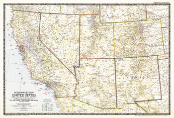
Southwestern United States - Published 1948
The Southwestern United States map was published in December 1948. Of particular note on this map is the absence of Lake Powell and the Glen Canyon Dam. Construction did not begin on the controversial dam until 1956.
Page Size: 34.5 x 23.5 in (874 x 591 mm)
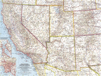
Southwestern United States - Published 1959
This map of the Southwestern United States features California, Nevada, Utah, Arizona, New Mexico, and Colorado. Includes detailed insets of the densely-populated San Francisco Bay and Los Angeles metropolitan areas. Published in November 1959, it is part of a series of six sectional maps of the United States published between 1958 and 1961.
Page Size: 25 x 19 in (631 x 478 mm)
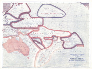
Sovereignty and Mandate Boundary Lines of the Islands of the Pacific - Published 1921
A truly unique work, this map of the Pacific Islands illustrates the sovereignty and mandate boundaries of the islands. This map was published in December 1921 in an issue of National Geographic that was entirely devoted to the islands of the Pacific. A compelling piece for collectors and those interested in the history of the region.
Page Size: 25 x 19 in (635 x 480 mm)
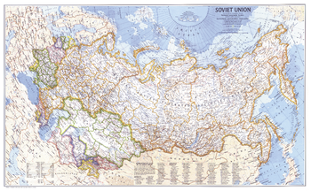
Soviet Union - Published 1976
This detailed map of the former Soviet Union offers a fascinating historical snapshot. Published in February 1976 as half of a two–map set with the "Peoples of the Soviet Union map" and the article "Siberia's Empire Road, the River Ob."
Page Size: 37 x 23 in (939 x 579 mm)
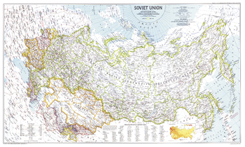
Soviet Union - Published 1990
A historical snapshot of the end of an era, this Soviet Union map was created just twenty-one months before the dismantling of the USSR. Published in March 1990 as a companion to three articles on the Soviet Union, including "Siberia: In from the Cold."
Page Size: 36.75 x 22.25 in (931 x 559 mm)
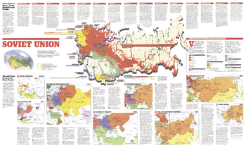
Soviet Union Theme - Published 1990
This map of the Soviet Union contains a total of nine individual maps featuring an abundance of historical information about the enormous federation of countries and their diverse peoples. Published in March 1990 as half of a two-map set, these works appeared only twenty-one months before the dismantling of the Soviet Union. This map represents Side Two of the set.
Page Size: 36.75 x 22.25 in (931 x 559 mm)
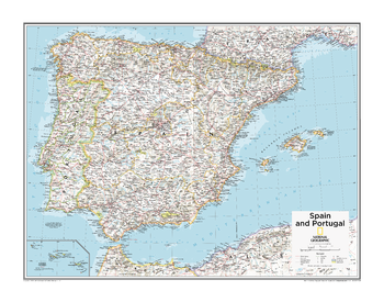
Spain and Portugal - Atlas of the World, 10th Edition
null
Page Size: 28 x 22 in (711 x 559 mm)
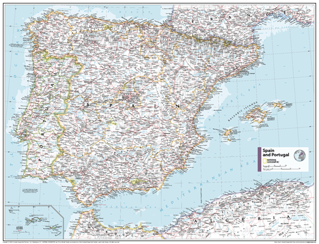
Spain and Portugal - Atlas of the World, 11th Edition
This Spain and Portugal map of physical and political features can fit in any space. Showcasing the countries in stunning detail with state-of-the-art cartographic techniques delivering accuracy and exceptional quality, the innovative and engaging design makes the content easily accessible and user-friendly.
Ideal for classrooms with an emphasis on teaching geography or environmental themes. The inclusion of physical features gives your students a genuine feel for how our world appears.
This map uses a bright, easy to read color palette featuring blue oceans and stunning shaded relief that has been featured on National Geographic wall maps for over 75 years. It is drawn in the Albers Conic Equal-Area projection, which uses two standard parallels between which distortion is minimized, however scale and shape is not preserved.
Names of geographic features are carefully placed on the map to maintain legibility. An inset of Portugal's Azores Islands adds to this classic map.
This map is found in National Geographic's 11th Edition World Atlas and is now available as a stand alone product.
Page Size: 31.5 x 24 in (798 x 610 mm)
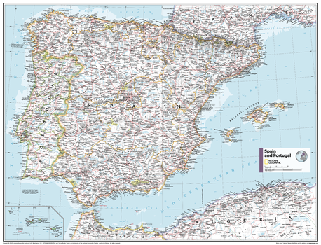
Spain and Portugal - Atlas of the World, 11th Edition - Compact
This Spain and Portugal map of physical and political features can fit in any space. Showcasing the countries in stunning detail with state-of-the-art cartographic techniques delivering accuracy and exceptional quality, the innovative and engaging design makes the content easily accessible and user-friendly.
Ideal for classrooms with an emphasis on teaching geography or environmental themes. The inclusion of physical features gives your students a genuine feel for how our world appears.
This map uses a bright, easy to read color palette featuring blue oceans and stunning shaded relief that has been featured on National Geographic wall maps for over 75 years. It is drawn in the Albers Conic Equal-Area projection, which uses two standard parallels between which distortion is minimized, however scale and shape is not preserved.
Names of geographic features are carefully placed on the map to maintain legibility. An inset of Portugal's Azores Islands adds to this classic map.
This map is found in National Geographic's 11th Edition World Atlas and is now available as a stand alone product.
Page Size: 21.5 x 16.25 in (540 x 413 mm)
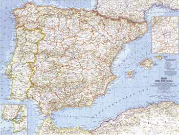
Spain and Portugal - Published 1965
This detailed and attractive map of Spain and Portugal was the first of the two countries published by National Geographic. Includes shaded mountain relief, ocean bathymetry, and insets of the nations' capitals. Published in March 1965.
Page Size: 25 x 19 in (631 x 479 mm)
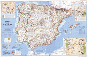
Spain and Portugal - Published 1998
Once-mighty empires at the center of the golden age of discovery, Spain and Portugal welcome millions of visitors each year who come to take in the majesty of their gothic cathedrals, or relax on their miles and miles of beaches. Published in December 1998 as half of a two–map set with "A Traveler's Map of Spain and Portugal."
Page Size: 31.25 x 20.25 in (789 x 514 mm)
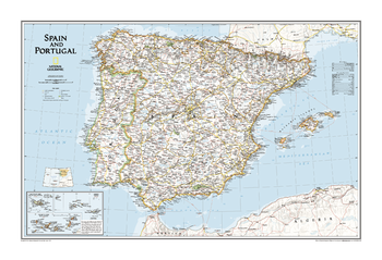
Spain and Portugal Classic
The wall map of Spain and Portugal shows both countries in incredible detail including political boundaries, major cities and towns, lakes and rivers, major highways and roads, airports, national parks, and much more.. Also included are inset maps for major cities and surrounding islands.
Page Size: 33 x 22 in (838 x 558 mm)
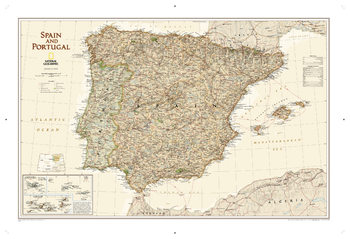
Spain and Portugal Executive
This elegant, richly colored antique-style map features the incredible cartographic detail that is the trademark of National Geographic quality. This map of Spain and Portugal shows political boundaries, place names, airports, major roads and highways, and other geographic features for the entire country.
Page Size: 34.75 x 23.75 in (878 x 599 mm)
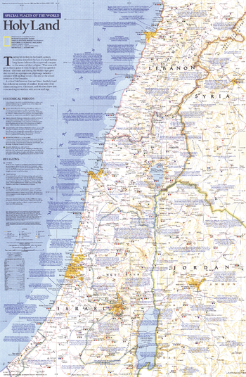
Special Places of the World, Holy Land - Published 1989
This map of the Holy Land features beautiful cartography combined with copious historic, religious, and geographic facts about this land of faith and conflict. Printed in December 1989 as part of the "Special Places of the World" series.
Page Size: 20.5 x 31 in (514 x 787 mm)
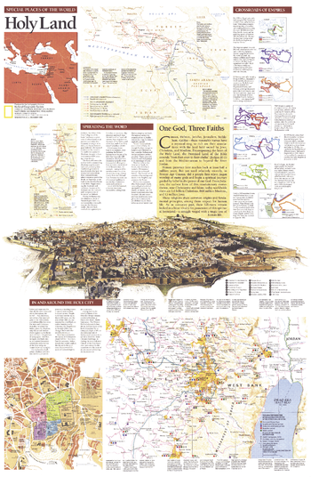
Special Places of the World, Holy Land Theme - Published 1989
Half of a two-page layout on the Holy Land, this educational supplement teems with details of the history of the land held sacred by Jews, Christians, and Muslims. An extraordinary illustration of Jerusalem notes important sites and the Crossroads of Empires inset reveals the history of the region's occupation. Printed in December 1989, this work stands alone or perfectly compliments the map of the Holy Land that appeared in the same issue.
Page Size: 20.25 x 31 in (514 x 787 mm)
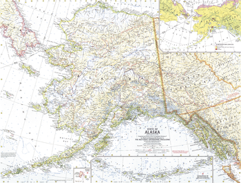
State of Alaska - Published 1959
This map showcases Alaska, the largest state in the United States and also larger in area than all but 18 of the world's nations. Published in July 1959, just six months after Alaska became the 49th state.
Page Size: 25 x 19 in (632 x 478 mm)
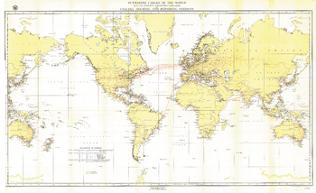
Submarine Cables of the World - Published 1896
Submarine cables have played an important part in the development of world-wide communications since the 1850's. This fascinating map, first develped for the Department of the Navy and published in National Geographic in 1896, shows submarine cables that had been laid, as well as the land-based cable systems that connected to them.
Page Size: 49 x 30 in (1245 x 761 mm)