top of page
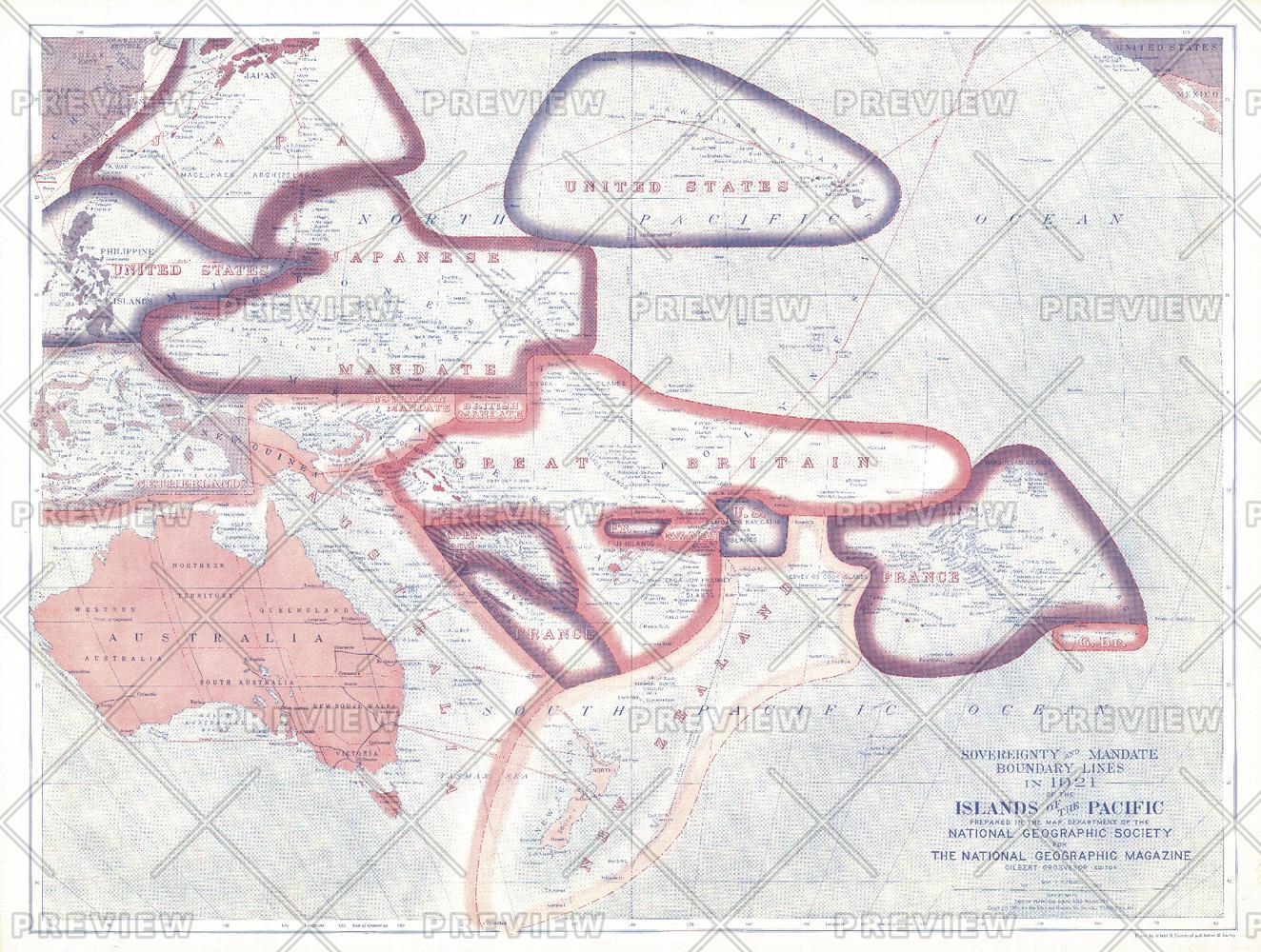
Sovereignty and Mandate Boundary Lines of the Islands of the Pacific - Published 1921
National Geographic
A truly unique work, this map of the Pacific Islands illustrates the sovereignty and mandate boundaries of the islands. This map was published in December 1921 in an issue of National Geographic that was entirely devoted to the islands of the Pacific. A compelling piece for collectors and those interested in the history of the region.
Page Size: 25 x 19 in (635 x 480 mm)
Buy this map on MapTrove.ca or MapTrove.com

bottom of page


