top of page
Southwestern United States - Published 1940
National Geographic
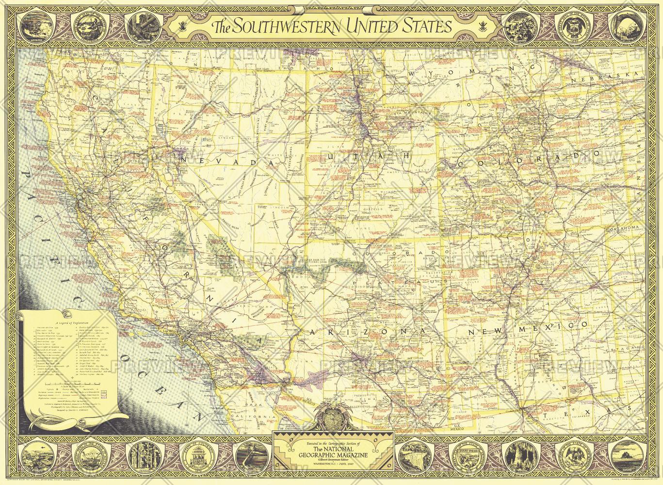
The Southwestern United States map of June 1940 contains an abundance of notes on historical sites and places of interest as well as the routes of explorers and the dates of their expeditions. The map border contains scenic illustrations and the state seals of the southwestern states. A unique collector's map.
Page Size: 34.5 x 25.25 in (871 x 637 mm)
Buy this map on MapTrove.ca or MapTrove.com
bottom of page