


National Geographic

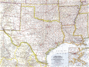
South Central United States - Published 1961
This map of the South Central United States features Texas, Oklahoma, Arkansas, Mississippi, Louisiana, and much of New Mexico. Intercontinental ballistic missile bases make it evident that this map was printed during a particularly strained period of the Cold War. Published in February 1961, it is part of a series of six sectional maps of the United States published between 1958 and 1961.
Page Size: 25 x 19 in (631 x 480 mm)
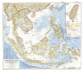
Southeast Asia - Published 1955
This detailed and informative map offers a snapshot of Southeast Asia following the Korean War and prior to the Vietnam conflict. Published in September 1955 with the article "This Young Giant, Indonesia." A perfect companion for the Southeast Asia map of 1968.
Page Size: 35 x 30 in (888 x 759 mm)
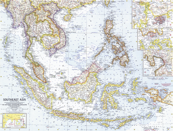
Southeast Asia - Published 1961
This map of Southeast Asia includes detailed city insets of Hong Kong, Manila, and Singapore. Published in May 1961 with an article on Indonesia. A fine companion for the map of Southwest Asia printed in 1963.
Page Size: 25 x 19 in (631 x 480 mm)
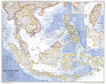
Southeast Asia - Published 1968
An exceptionally detailed map of Southeast Asia, the United States was deeply entrenched in the Vietnam war when this map was created. Published in December 1968 to accompany the article "The Mekong, River of Terror and Hope."
Page Size: 33.5 x 26.5 in (850 x 671 mm)
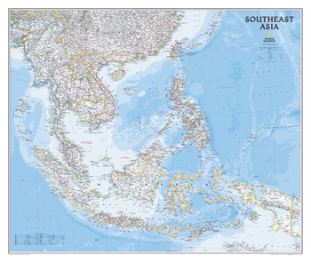
Southeast Asia Classic
The Southeast Asia map is a detailed, classic-style, reference map containing detailed bathymetric data and current political boundaries, as well as thousands of place names. Also shown are the region's updated infrastructures, including major oil fields and pipelines; high-speed passenger railway lines; and even China's spaceport, Xichang Satellite Launch Center. Significant cultural and historic sites, such as Angkor, Cambodia, a renowned UNESCO World Heritage site, also appear on the map.
Page Size: 38 x 32 in (965 x 813 mm)
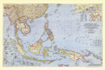
Southeast Asia and the Pacific Islands - Published 1944
Published in October 1944 during the second world war, this map of Southeast Asia and the Pacific Islands shows boundaries as of September 1, 1939. With over twenty inset maps of islands and cities, this map provides exceptional detail of the region, including administrative areas of the Netherlands Indies and capitals.
Page Size: 41.75 x 28 in (1057 x 707 mm)
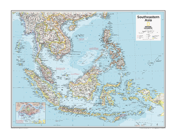
Southeastern Asia - Atlas of the World, 10th Edition
Brunei, Indonesia, Malaysia, Philippines, Singapore, Timor-Leste (East Timor)
Page Size: 28 x 22 in (711 x 559 mm)
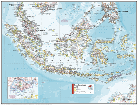
Southeastern Asia - Atlas of the World, 11th Edition
This Southeast Asia map of physical and political features can fit in any space. Showcasing the region in stunning detail with state-of-the-art cartographic techniques delivering accuracy and exceptional quality, the innovative and engaging design makes the content easily accessible and user-friendly.
Ideal for classrooms with an emphasis on teaching geography or environmental themes. The inclusion of physical features gives your students a genuine feel for how our world appears.
This map uses a bright, easy to read color palette featuring blue oceans and stunning shaded relief that has been featured on National Geographic wall maps for over 75 years. It is drawn in the Oblique Mercator projection, which is a cylindrical map projection for nautical navigation because it represents lines of constant course.
This map is found in National Geographic's 11th Edition World Atlas and is now available as a stand alone product.
Page Size: 31.5 x 24 in (798 x 610 mm)
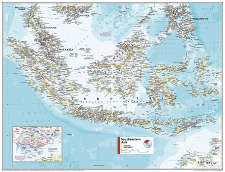
Southeastern Asia - Atlas of the World, 11th Edition - Compact
This Southeast Asia map of physical and political features can fit in any space. Showcasing the region in stunning detail with state-of-the-art cartographic techniques delivering accuracy and exceptional quality, the innovative and engaging design makes the content easily accessible and user-friendly.
Ideal for classrooms with an emphasis on teaching geography or environmental themes. The inclusion of physical features gives your students a genuine feel for how our world appears.
This map uses a bright, easy to read color palette featuring blue oceans and stunning shaded relief that has been featured on National Geographic wall maps for over 75 years. It is drawn in the Oblique Mercator projection, which is a cylindrical map projection for nautical navigation because it represents lines of constant course.
This map is found in National Geographic's 11th Edition World Atlas and is now available as a stand alone product.
Page Size: 21.5 x 16.25 in (540 x 413 mm)
Southeastern Australia - Atlas of the World, 10th Edition
null
Page Size: 28 x 22 in (711 x 559 mm)
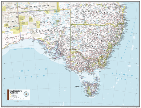
Southeastern Australia - Atlas of the World, 11th Edition
This Southeastern Australia map of political and physical features can fit in any space. Showcasing the region in stunning detail with state-of-the-art cartographic techniques delivering accuracy and exceptional quality, the innovative and engaging design makes the content easily accessible and user-friendly.
Ideal for classrooms with an emphasis on teaching geography or environmental themes. The inclusion of physical features gives your students a genuine feel for how our world appears.
This map uses a bright, easy to read color palette featuring blue oceans and stunning shaded relief that has been featured on National Geographic wall maps for over 75 years. Drawn in the Azimuthal Equidistant projection, this map ensures that all points on the map are at proportionally correct distances from the center point.
This map is found in National Geographic's 11th Edition World Atlas and is now available as a stand alone product.
Page Size: 31.5 x 24 in (798 x 610 mm)
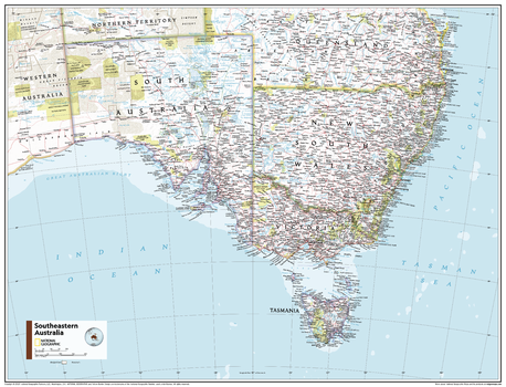
Southeastern Australia - Atlas of the World, 11th Edition - Compact
This Southeastern Australia map of political and physical features can fit in any space. Showcasing the region in stunning detail with state-of-the-art cartographic techniques delivering accuracy and exceptional quality, the innovative and engaging design makes the content easily accessible and user-friendly.
Ideal for classrooms with an emphasis on teaching geography or environmental themes. The inclusion of physical features gives your students a genuine feel for how our world appears.
This map uses a bright, easy to read color palette featuring blue oceans and stunning shaded relief that has been featured on National Geographic wall maps for over 75 years. Drawn in the Azimuthal Equidistant projection, this map ensures that all points on the map are at proportionally correct distances from the center point.
This map is found in National Geographic's 11th Edition World Atlas and is now available as a stand alone product.
Page Size: 21.5 x 16.25 in (540 x 413 mm)
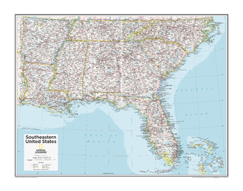
Southeastern U.S. - Atlas of the World, 10th Edition
Alabama, Florida, Georgia, Mississippi, North Carolina, South Carolina, Tennessee
Page Size: 28 x 22 in (711 x 559 mm)
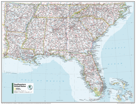
Southeastern U.S. - Atlas of the World, 11th Edition
This Southeastern USA map of physical and political features can fit in any space. Showcasing the region in stunning detail with state-of-the-art cartographic techniques delivering accuracy and exceptional quality, the innovative and engaging design makes the content easily accessible and user-friendly.
Ideal for classrooms with an emphasis on teaching geography or environmental themes. The inclusion of physical features gives your students a genuine feel for how our world appears.
This map uses a bright, easy to read color palette featuring blue oceans and stunning shaded relief that has been featured on National Geographic wall maps for over 75 years. It is drawn in the Albers Conic Equal-Area projection, which uses two standard parallels between which distortion is minimized, however scale and shape are not preserved.
This map is found in National Geographic's 11th Edition World Atlas and is now available as a stand alone product.
Page Size: 31.5 x 24 in (798 x 610 mm)
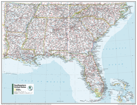
Southeastern U.S. - Atlas of the World, 11th Edition - Compact
This Southeastern USA map of physical and political features can fit in any space. Showcasing the region in stunning detail with state-of-the-art cartographic techniques delivering accuracy and exceptional quality, the innovative and engaging design makes the content easily accessible and user-friendly.
Ideal for classrooms with an emphasis on teaching geography or environmental themes. The inclusion of physical features gives your students a genuine feel for how our world appears.
This map uses a bright, easy to read color palette featuring blue oceans and stunning shaded relief that has been featured on National Geographic wall maps for over 75 years. It is drawn in the Albers Conic Equal-Area projection, which uses two standard parallels between which distortion is minimized, however scale and shape are not preserved.
This map is found in National Geographic's 11th Edition World Atlas and is now available as a stand alone product.
Page Size: 21.5 x 16.25 in (540 x 413 mm)
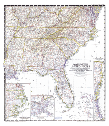
Southeastern United States - Published 1947
The Southeastern United States map appeared in National Geographic Magazine in February 1947. Particular attention is paid to the Atlantic coastlines with insets of the South Carolina and Georgia coasts, and Cape Hatteras and Norfolk. It also features an inset of the lower Mississippi region including New Orleans.
Page Size: 27.25 x 31.5 in (691 x 796 mm)
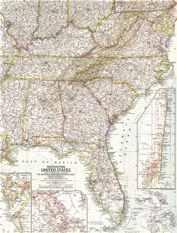
Southeastern United States - Published 1958
This map of the Southeastern United States includes subtle mountain relief accenting the Appalachians and Allegheny Mountains. Insets of the Tampa Bay, West Palm Beach and Miami regions add particular detail. Published in January 1958 with three articles on Florida, it is part of a series of six sectional maps of the United States published between 1958 and 1961.
Page Size: 19 x 25 in (481 x 631 mm)
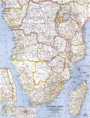
Southern Africa - Published 1962
When this map of the southern African continent was created, South Africa had just become a republic. Nelson Mandela was imprisoned only months earlier, and the struggle against apartheid had begun. Published in November 1962 with three articles including "South Africa Close-up."
Page Size: 19 x 25 in (481 x 631 mm)
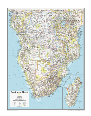
Southern Africa - Atlas of the World, 10th Edition
Angola, Botswana, Cabinda (Angola), Congo, Democratic Republic of the Congo, Equatorial Guinea, Gabon, Madagascar, Malawi, Mozambique, Namibia, Tanzania, Zambia, Zimbabwe
Page Size: 22 x 28 in (559 x 711 mm)
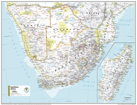
Southern Africa - Atlas of the World, 11th Edition
This Southern Africa map of physical and political features can fit in any space. Showcasing the region in stunning detail with state-of-the-art cartographic techniques delivering accuracy and exceptional quality, the innovative and engaging design makes the content easily accessible and user-friendly.
Ideal for classrooms with an emphasis on teaching geography or environmental themes. The inclusion of physical features gives your students a genuine feel for how our world appears.
This map uses a bright, easy to read color palette featuring blue oceans and stunning shaded relief that has been featured on National Geographic wall maps for over 75 years. It is drawn in the Transverse Mercator projection, which is a cylindrical map projection for nautical navigation because it represents lines of constant course.
This map is found in National Geographic's 11th Edition World Atlas and is now available as a stand alone product.
Page Size: 31.5 x 24 in (798 x 610 mm)