top of page
Southeast Asia and the Pacific Islands - Published 1944
National Geographic
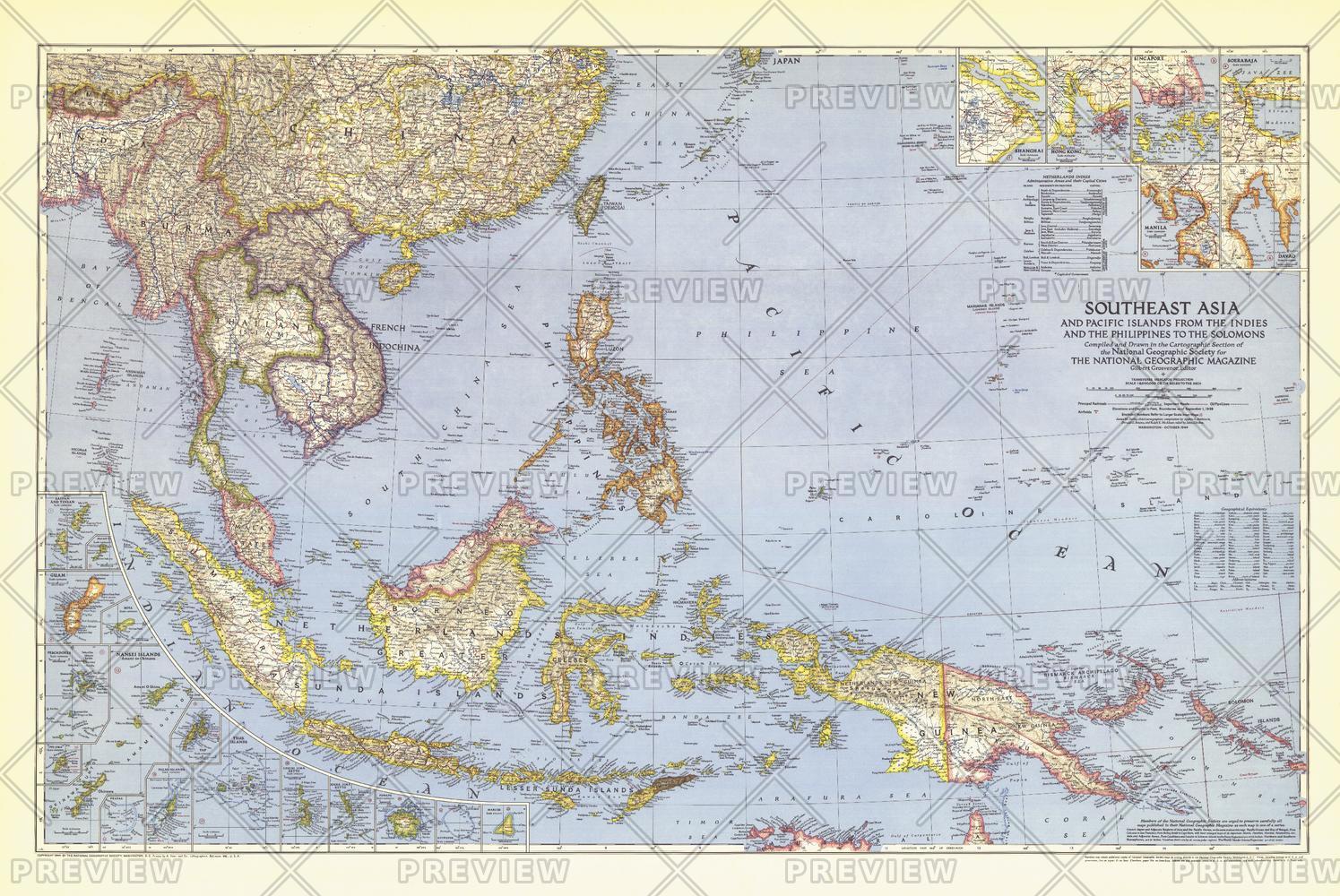
Published in October 1944 during the second world war, this map of Southeast Asia and the Pacific Islands shows boundaries as of September 1, 1939. With over twenty inset maps of islands and cities, this map provides exceptional detail of the region, including administrative areas of the Netherlands Indies and capitals.
Page Size: 41.75 x 28 in (1057 x 707 mm)
Buy this map on MapTrove.ca or MapTrove.com
bottom of page