


National Geographic

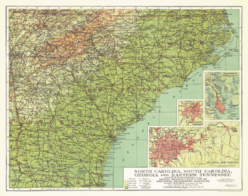
North Carolina, South Carolina, Georgia and Eastern Tennessee - Published 1926
Published in September 1926, this map of North Carolina, South Carolina, Georgia and Eastern Tennessee highlights these southern states just over sixty years after major events of the Civil War took place including the burning of Atlanta. Inset maps of the cities of Atlanta, Charlotte, and Charleston provide greater detail of the region.
Page Size: 20 x 15.75 in (504 x 397 mm)
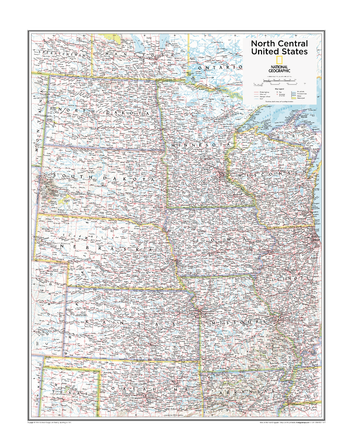
North Central U.S. - Atlas of the World, 10th Edition
Iowa, Kansas, Minnesota, Missouri, Nebraska, North Dakota, South Dakota
Page Size: 22 x 28 in (559 x 711 mm)
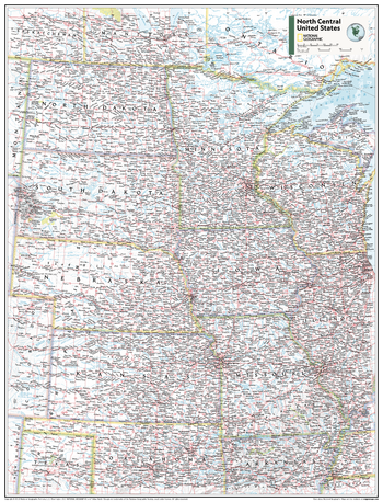
North Central U.S. - Atlas of the World, 11th Edition
This North Central USA map of physical and political features can fit in any space. Showcasing the region in stunning detail with state-of-the-art cartographic techniques delivering accuracy and exceptional quality, the innovative and engaging design makes the content easily accessible and user-friendly.
Ideal for classrooms with an emphasis on teaching geography or environmental themes. The inclusion of physical features gives your students a genuine feel for how our world appears.
This map uses a bright, easy to read color palette featuring blue oceans and stunning shaded relief that has been featured on National Geographic wall maps for over 75 years. It is drawn in the Albers Conic Equal-Area projection, which uses two standard parallels between which distortion is minimized, however scale and shape are not preserved.
This map is found in National Geographic's 11th Edition World Atlas and is now available as a stand alone product.
Page Size: 24 x 31.5 in (610 x 798 mm)
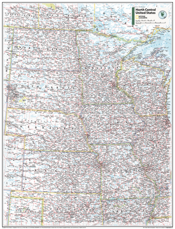
North Central U.S. - Atlas of the World, 11th Edition - Compact
This North Central USA map of physical and political features can fit in any space. Showcasing the region in stunning detail with state-of-the-art cartographic techniques delivering accuracy and exceptional quality, the innovative and engaging design makes the content easily accessible and user-friendly.
Ideal for classrooms with an emphasis on teaching geography or environmental themes. The inclusion of physical features gives your students a genuine feel for how our world appears.
This map uses a bright, easy to read color palette featuring blue oceans and stunning shaded relief that has been featured on National Geographic wall maps for over 75 years. It is drawn in the Albers Conic Equal-Area projection, which uses two standard parallels between which distortion is minimized, however scale and shape are not preserved.
This map is found in National Geographic's 11th Edition World Atlas and is now available as a stand alone product.
Page Size: 16.25 x 21.5 in (413 x 540 mm)
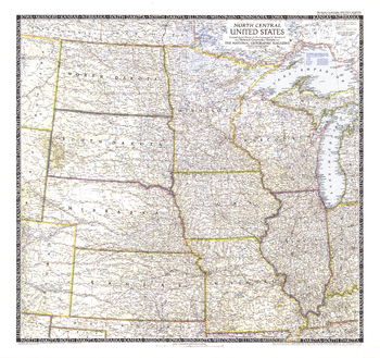
North Central United States - Published 1948
The North Central United States map is the sixth in a series of sectional maps of the United States. Published in June 1948 with two articles including "Mapping the Nation's Breadbasket," it provides a thorough look at the states of North Dakota, South Dakota, Minnesota, Nebraska, Iowa, Wisconsin, Illinois, Missouri, and Kansas.
Page Size: 29.25 x 27.5 in (738 x 694 mm)
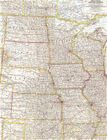
North Central United States - Published 1958
This map of the North Central United States details North Dakota, South Dakota, Minnesota, Nebraska, Iowa, Wisconsin, Illinois, Missouri, and Kansas. Published in November 1958 with article "The Upper Mississippi," it is part of a series of six sectional maps of the United States published between 1958 and 1961.
Page Size: 19 x 25 in (480 x 631 mm)
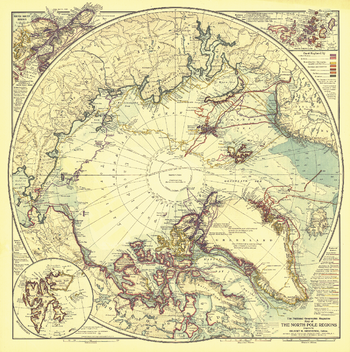
North Pole Regions - Published 1907
A true work of art, this map of the North Pole regions is as beautiful as it is fascinating. Published with five articles on the Arctic including "Arctic Expeditions Commanded by Americans," this one of a kind map is loaded with information about Arctic exploration and is perfect for framing.
Page Size: 19 x 19 in (477 x 479 mm)
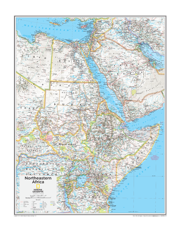
Northeastern Africa - Atlas of the World, 10th Edition
Egypt, South Sudan, Sudan
Page Size: 22 x 28 in (559 x 711 mm)
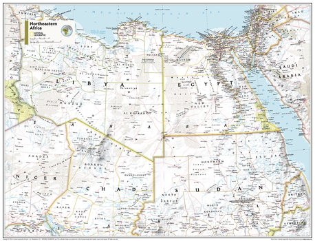
Northeastern Africa - Atlas of the World, 11th Edition
This Northeastern Africa map of physical and political features can fit in any space. Showcasing the region in stunning detail with state-of-the-art cartographic techniques delivering accuracy and exceptional quality, the innovative and engaging design makes the content easily accessible and user-friendly.
Ideal for classrooms with an emphasis on teaching geography or environmental themes. The inclusion of physical features gives your students a genuine feel for how our world appears.
This map uses a bright, easy to read color palette featuring blue oceans and stunning shaded relief that has been featured on National Geographic wall maps for over 75 years. It is drawn in the Transverse Mercator projection, which is a cylindrical map projection for nautical navigation because it represents lines of constant course.
This map is found in National Geographic's 11th Edition World Atlas and is now available as a stand alone product.
Page Size: 31.5 x 24 in (798 x 610 mm)
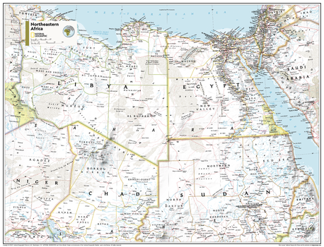
Northeastern Africa - Atlas of the World, 11th Edition - Compact
This Northeastern Africa map of physical and political features can fit in any space. Showcasing the region in stunning detail with state-of-the-art cartographic techniques delivering accuracy and exceptional quality, the innovative and engaging design makes the content easily accessible and user-friendly.
Ideal for classrooms with an emphasis on teaching geography or environmental themes. The inclusion of physical features gives your students a genuine feel for how our world appears.
This map uses a bright, easy to read color palette featuring blue oceans and stunning shaded relief that has been featured on National Geographic wall maps for over 75 years. It is drawn in the Transverse Mercator projection, which is a cylindrical map projection for nautical navigation because it represents lines of constant course.
This map is found in National Geographic's 11th Edition World Atlas and is now available as a stand alone product.
Page Size: 21.5 x 16.25 in (540 x 413 mm)
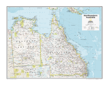
Northeastern Australia - Atlas of the World, 10th Edition
null
Page Size: 28 x 22 in (711 x 559 mm)
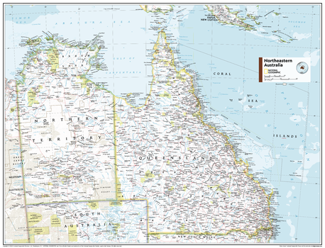
Northeastern Australia - Atlas of the World, 11th Edition
This Northeastern Australia map of political and physical features can fit in any space. Showcasing the region in stunning detail with state-of-the-art cartographic techniques delivering accuracy and exceptional quality, the innovative and engaging design makes the content easily accessible and user-friendly.
Ideal for classrooms with an emphasis on teaching geography or environmental themes. The inclusion of physical features gives your students a genuine feel for how our world appears.
This map uses a bright, easy to read color palette featuring blue oceans and stunning shaded relief that has been featured on National Geographic wall maps for over 75 years. Drawn in the Azimuthal Equidistant projection, this map ensures that all points on the map are at proportionally correct distances from the center point.
This map is found in National Geographic's 11th Edition World Atlas and is now available as a stand alone product.
Page Size: 31.5 x 24 in (798 x 610 mm)
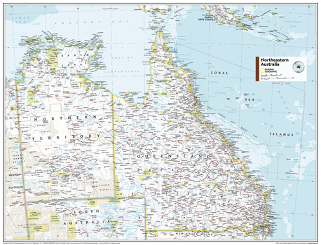
Northeastern Australia - Atlas of the World, 11th Edition - Compact
This Northeastern Australia map of political and physical features can fit in any space. Showcasing the region in stunning detail with state-of-the-art cartographic techniques delivering accuracy and exceptional quality, the innovative and engaging design makes the content easily accessible and user-friendly.
Ideal for classrooms with an emphasis on teaching geography or environmental themes. The inclusion of physical features gives your students a genuine feel for how our world appears.
This map uses a bright, easy to read color palette featuring blue oceans and stunning shaded relief that has been featured on National Geographic wall maps for over 75 years. Drawn in the Azimuthal Equidistant projection, this map ensures that all points on the map are at proportionally correct distances from the center point.
This map is found in National Geographic's 11th Edition World Atlas and is now available as a stand alone product.
Page Size: 21.5 x 16.25 in (540 x 413 mm)

Northeastern United States - Published 1959
This map of the Northeastern United States features the Great Lakes region and an inset of northern Maine. Includes additional details such as auto ferry routes and notes about the Great Lakes water levels, locks, and canals. Published in April 1959 with the article "New Era on the Great Lakes," it is part of a series of six sectional maps of the United States published between 1958 and 1961.
Page Size: 25 x 19 in (633 x 480 mm)
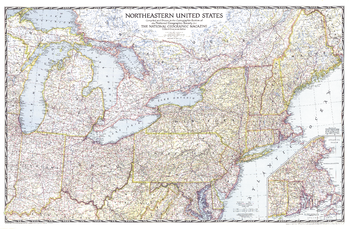
Northeastern United States - Published 1945
This detailed and attractive map of the northeastern United States, published in September 1945, was the first of the region that National Geographic published. State boundaries are clearly and colorfully marked, and a distinctive border frames the map in a style indicative of National Geographic's signature presentation.
Page Size: 41 x 27 in (1036 x 680 mm)
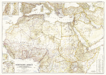
Northern Africa - Published 1954
This map features political adminstration in northern Africa, as well as notes about political changes in the Middle East, including the partitioning of Palestine. Published in December 1954 with the article "Safari from Congo to Cairo."
Page Size: 41 x 29.25 in (1041 x 739 mm)
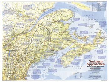
Northern Approaches Maine to the Maritimes - Published 1985
Explore Maine and the Maritimes with this educational map of the Northern Approaches. Home to colonies of English, French, Scottish, and Dutch settlers, this region of the United States and Canada boasts a fascinating and culturally rich maritime history. Published in February 1985 as part of the "Making of America" series.
Page Size: 27.25 x 20.5 in (687 x 518 mm)
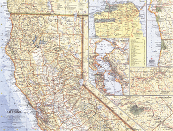
Northern California - Published 1966
This Northern California map contains five inset maps of popular sites, including the city of San Francisco complete with index. Published in May 1966 as half of a two–map with a map of Southern California.
Page Size: 20 x 15.25 in (505 x 384 mm)
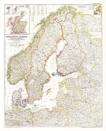
Northern Europe - Published 1954
This map of Northern Europe shows the boundaries of Poland and Russia as of June 1, 1954. It also notes American, British, and Russian occupation zones in Germany. Published in August 1954.
Page Size: 30 x 37 in (761 x 937 mm)
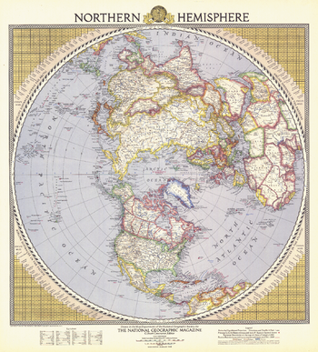
Northern Hemisphere - Published 1946
This colorful and unique map of the Northern Hemisphere appeared in National Geographic Magazine in February 1946 and features airline distances and U.S. air bases. European boundaries are shown as they were prior to Germany's invasion of Poland, and Russian boundaries reflect treaties and claims as of December 1, 1945.
Page Size: 21.75 x 24 in (549 x 607 mm)