top of page
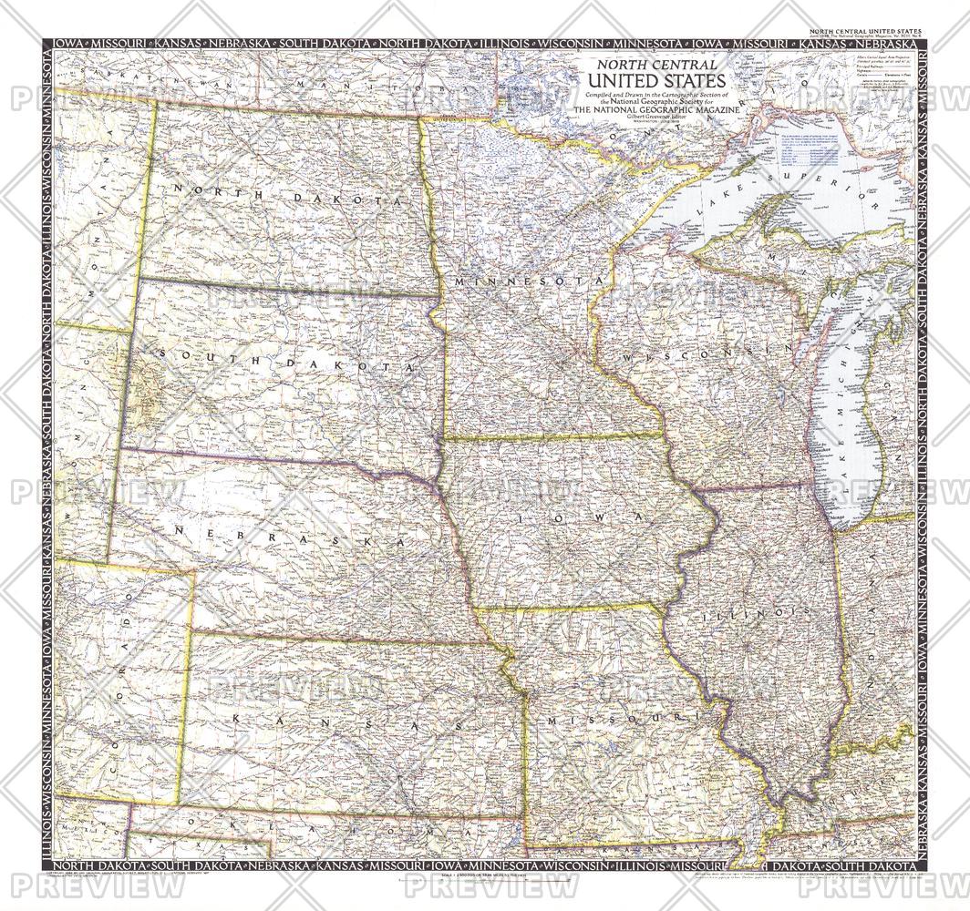
North Central United States - Published 1948
National Geographic
The North Central United States map is the sixth in a series of sectional maps of the United States. Published in June 1948 with two articles including "Mapping the Nation's Breadbasket," it provides a thorough look at the states of North Dakota, South Dakota, Minnesota, Nebraska, Iowa, Wisconsin, Illinois, Missouri, and Kansas.
Page Size: 29.25 x 27.5 in (738 x 694 mm)
Buy this map on MapTrove.ca or MapTrove.com
bottom of page