


National Geographic

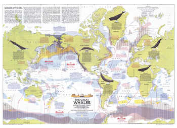
Great Whales, Migration and Range - Published 1976
This map illustrates the migration and range of the six species of great whales, including the Fin, Humpback, Sperm, Gray, Bowhead, and Right. Provides information about how commercial whaling has decimated the populations of these magnificent mammals, and the actions being taken to protect them. Published in December 1976 with two articles on whales and the "Whales of the World" poster.
Page Size: 30 x 21.75 in (760 x 552 mm)
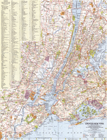
Greater New York - Published 1964
This map of Greater New York provides a detailed look at this extraordinary city. A complete index is included, making it easy to find the hundreds of points of interest the city has to offer. Published in July 1964 as part of a two–map set with "Tourist Manhattan."
Page Size: 15.25 x 20 in (385 x 504 mm)
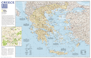
Greece - Published 2006
A map of Greece with an inset illustrating the historical center of Athens.
Page Size: 31.25 x 20.25 in (791 x 511 mm)
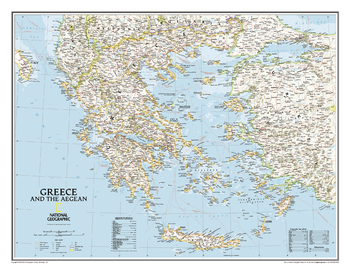
Greece Classic
The classic National Geographic wall map of Greece shows this beautiful area in uncompromisingly accurate detail. The map includes political boundaries, cities and towns, bodies of water, major roadways, airports, and many other geographic details.
Page Size: 30.25 x 23.5 in (768 x 597 mm)
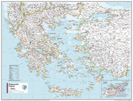
Greece and Cyprus - Atlas of the World, 11th Edition
This Greece, Cyprus and the Aegean Sea map of physical and political features can fit in any space. Showcasing the countries in stunning detail with state-of-the-art cartographic techniques delivering accuracy and exceptional quality, the innovative and engaging design makes the content easily accessible and user-friendly.
Ideal for classrooms with an emphasis on teaching geography or environmental themes. The inclusion of physical features gives your students a genuine feel for how our world appears.
This map uses a bright, easy to read color palette featuring blue oceans and stunning shaded relief that has been featured on National Geographic wall maps for over 75 years. It is drawn in Conic projection, in which an area of the earth is projected onto a cone whose vertex is usually above one of the poles, then unrolled onto a flat surface.
Names of geographic features are carefully placed on the map to maintain legibility. An inset of Cyprus is included.
This map is found in National Geographic's 11th Edition World Atlas and is now available as a stand alone product.
Page Size: 31.5 x 24 in (798 x 610 mm)
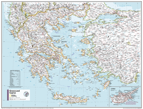
Greece and Cyprus - Atlas of the World, 11th Edition - Compact
This Greece, Cyprus and the Aegean Sea map of physical and political features can fit in any space. Showcasing the countries in stunning detail with state-of-the-art cartographic techniques delivering accuracy and exceptional quality, the innovative and engaging design makes the content easily accessible and user-friendly.
Ideal for classrooms with an emphasis on teaching geography or environmental themes. The inclusion of physical features gives your students a genuine feel for how our world appears.
This map uses a bright, easy to read color palette featuring blue oceans and stunning shaded relief that has been featured on National Geographic wall maps for over 75 years. It is drawn in Conic projection, in which an area of the earth is projected onto a cone whose vertex is usually above one of the poles, then unrolled onto a flat surface.
Names of geographic features are carefully placed on the map to maintain legibility. An inset of Cyprus is included.
This map is found in National Geographic's 11th Edition World Atlas and is now available as a stand alone product.
Page Size: 21.5 x 16.25 in (540 x 413 mm)
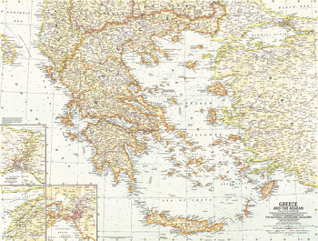
Greece and the Aegean - Published 1958
This map of Greece and the Aegean Islands features wonderful detail of the many islands in the region. Published in December 1958 with the article "The Aegean Isles: Poseidon's Playground."
Page Size: 25 x 19 in (633 x 478 mm)
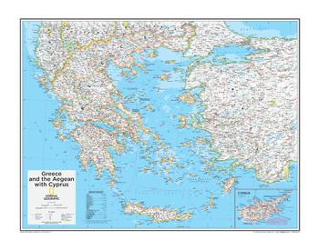
Greece and the Aegean with Cyprus - Atlas of the World, 10th Edition
Northern Cyprus
Page Size: 28 x 22 in (711 x 559 mm)
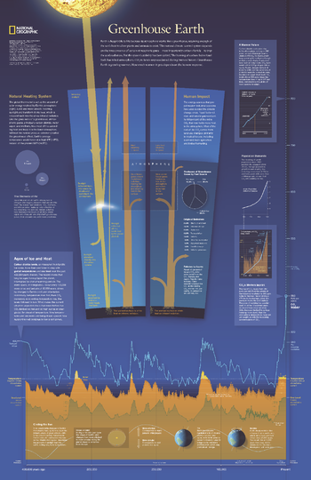
Greenhouse Earth - Published 2007
Published in October 2007 as half of a two-piece set with "Changing Climate," this revealing poster explains how the Earth's atmosphere acts as a greenhouse and how carbon emissions raise the planet's surface temperature. Graphs and charts reveal the origin of emissions, predicted future carbon emission levels, and the warming cycles the planet has experienced in its history.
Page Size: 20.25 x 31.25 in (512 x 790 mm)
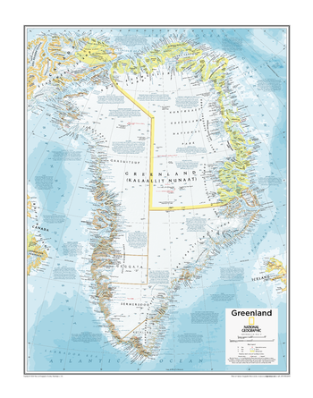
Greenland - Atlas of the World, 10th Edition
null
Page Size: 22 x 28 in (559 x 711 mm)
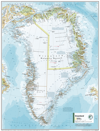
Greenland - Atlas of the World, 11th Edition
This Greenland map of physical and political features can fit in any space. Showcasing the nation in stunning detail with state-of-the-art cartographic techniques delivering accuracy and exceptional quality, the innovative and engaging design makes the content easily accessible and user-friendly.
Ideal for classrooms with an emphasis on teaching geography or environmental themes. The inclusion of physical features gives your students a genuine feel for how our world appears.
This map uses a bright, easy to read color palette featuring blue oceans and stunning shaded relief that has been featured on National Geographic wall maps for over 75 years. Drawn in the Azimuthal Equidistant projection, this map ensures that all points on the map are at proportionally correct distances from the center point.
Names of geographic features are carefully placed on the map to maintain legibility. Historic and geographic facts are peppered across the map for a more nuanced understanding of the landmass.
This map is found in National Geographic's 11th Edition World Atlas and is now available as a stand alone product.
Page Size: 24 x 31.5 in (610 x 798 mm)
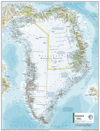
Greenland - Atlas of the World, 11th Edition - Compact
This Greenland map of physical and political features can fit in any space. Showcasing the nation in stunning detail with state-of-the-art cartographic techniques delivering accuracy and exceptional quality, the innovative and engaging design makes the content easily accessible and user-friendly.
Ideal for classrooms with an emphasis on teaching geography or environmental themes. The inclusion of physical features gives your students a genuine feel for how our world appears.
This map uses a bright, easy to read color palette featuring blue oceans and stunning shaded relief that has been featured on National Geographic wall maps for over 75 years. Drawn in the Azimuthal Equidistant projection, this map ensures that all points on the map are at proportionally correct distances from the center point.
Names of geographic features are carefully placed on the map to maintain legibility. Historic and geographic facts are peppered across the map for a more nuanced understanding of the landmass.
This map is found in National Geographic's 11th Edition World Atlas and is now available as a stand alone product.
Page Size: 16.25 x 21.5 in (413 x 540 mm)
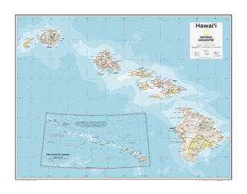
Hawai'i - Atlas of the World, 10th Edition
Page Size: 28 x 22 in (711 x 559 mm)

Hawaii
One of our most visually stunning maps, the Hawaii Physical Map shows all eight of the major islands and includes an inset of the entire chain of reefs stretching nearly 3,000 miles across the central Pacific. In addition to showing all of the major land features, the map also shows the Hawaiian Ridge shelves underneath the islands, providing a wonderful perspective on how the islands were formed.
Page Size: 34.75 x 22.75 in (883 x 575 mm)
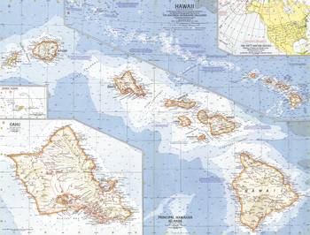
Hawaii - Published 1960
This map was created less than a year after Hawaii joined the United States as its 50th state. Features an overview map of the entire state as well as a detailed map of the principal islands. Ocean bathymetry, reefs and currents complete the picture of this exotic island region. Published in July 1960.
Page Size: 25 x 19 in (631 x 480 mm)
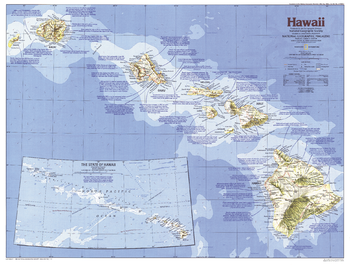
Hawaii - Published 1983
From volcanoes, lush forests, and magnificent beaches to historic Pearl Harbor and the bustle of Honolulu, it is no wonder that the Hawaiian Islands are a popular United States vacation site. This Hawaii map shows the complete chain of islands and reefs that make up the state, and also details its principal islands. Published in November 1983 as part of the "Making of America" series, and half of a two–map set with a Hawaii historical map.
Page Size: 27 x 20.5 in (685 x 519 mm)
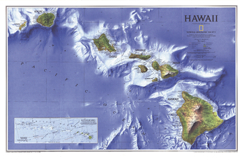
Hawaii - Published 1995
Breathtaking ocean-floor relief sets this map of Hawaii apart. Published in September 1995, this map accompanied the "Rediscovering Hawaii" map and the article "On the Brink: Hawaii's Vanishing Species."
Page Size: 31.25 x 20.25 in (794 x 513 mm)
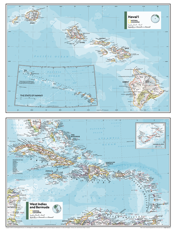
Hawai’i, West Idies and Bermuda - Atlas of the World, 11th Edition
This Hawai'i, West Indies and Bermuda map of physical and political features can fit in any space. Showcasing the regions in stunning detail with state-of-the-art cartographic techniques delivering accuracy and exceptional quality, the innovative and engaging design makes the content easily accessible and user-friendly.
Ideal for classrooms with an emphasis on teaching geography or environmental themes. Physical maps give your students a genuine feel for how our world appears.
This map uses a bright, easy to read color palette featuring blue oceans and stunning shaded relief that has been featured on National Geographic wall maps for over 75 years. Drawn in the Azimuthal Equidistant projection, this map ensures that all points on the map are at proportionally correct distances from the center point.
This map is found in National Geographic's 11th Edition World Atlas and is now available as a stand alone product.
Page Size: 24 x 31.5 in (610 x 798 mm)
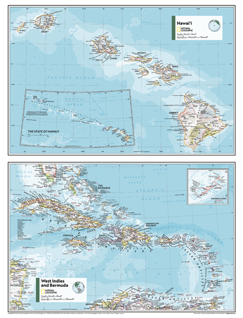
Hawai’i, West Idies and Bermuda - Atlas of the World, 11th Edition - Compact
This Hawai'i, West Indies and Bermuda map of physical and political features can fit in any space. Showcasing the regions in stunning detail with state-of-the-art cartographic techniques delivering accuracy and exceptional quality, the innovative and engaging design makes the content easily accessible and user-friendly.
Ideal for classrooms with an emphasis on teaching geography or environmental themes. Physical maps give your students a genuine feel for how our world appears.
This map uses a bright, easy to read color palette featuring blue oceans and stunning shaded relief that has been featured on National Geographic wall maps for over 75 years. Drawn in the Azimuthal Equidistant projection, this map ensures that all points on the map are at proportionally correct distances from the center point.
This map is found in National Geographic's 11th Edition World Atlas and is now available as a stand alone product.
Page Size: 16.25 x 21.5 in (413 x 540 mm)
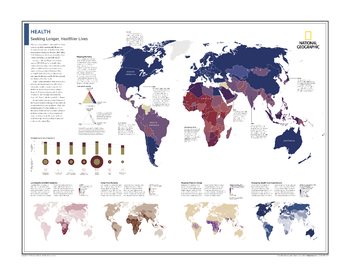
Health: Seeking Longer, Healthier Lives - Atlas of the World, 10th Edition
Mapping Mortality; Comparing Income and Life Expectancy; Locating the HIV/AIDS Epidemic; Under-Five Mortality; Mapping Malaria's Range; Measuring Health-Care Expenditures
Page Size: 28 x 22 in (711 x 559 mm)