top of page
Hawaii - Published 1983
National Geographic
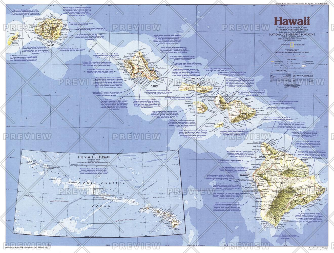
From volcanoes, lush forests, and magnificent beaches to historic Pearl Harbor and the bustle of Honolulu, it is no wonder that the Hawaiian Islands are a popular United States vacation site. This Hawaii map shows the complete chain of islands and reefs that make up the state, and also details its principal islands. Published in November 1983 as part of the "Making of America" series, and half of a two–map set with a Hawaii historical map.
Page Size: 27 x 20.5 in (685 x 519 mm)
Buy this map on MapTrove.ca or MapTrove.com
bottom of page