top of page


Hawaii
National Geographic
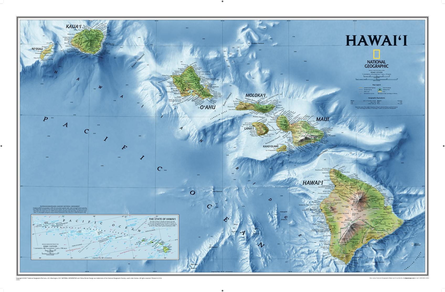
One of National Geographic's most visually stunning maps, the Hawai'i Map shows all eight of the major islands and includes an inset of the entire chain of reefs stretching nearly 3,000 miles across the central Pacific. In addition to showing all of the major land features, the map also shows the Hawaiian Ridge that runs under the islands, providing a wonderful perspective on how they were formed.
Page Size: 34.75 x 22.75 in (883 x 575 mm)
Buy this map on MapTrove.ca or MapTrove.com
bottom of page