


MapSherpa Catalog
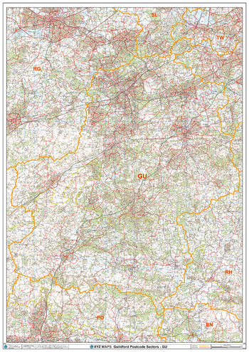
Guildford - GU - Postcode Wall Map
XYZ Maps
The Guildford Postcode Sector Wall Map shows detailed postcode sector boundaries (GU1 1, GU1 2) on a comprehensive background and is perfect for determining postcode boundaries for sales areas, planning mailshots and also an excellent reference for logistics. This wall map covers the whole of the GU Postcode Area.
Page Size: 33.25 x 47 in (841 x 1189 mm)
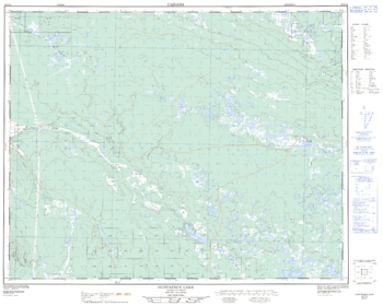
Gustafsen Lake - 92 P/12 - British Columbia
Natural Resources Canada
Canadian topographic map of Gustafsen Lake, British Columbia. NTS sheet 092P12 Edition 2.
Page Size: 31.75 x 25.25 in (800 x 640 mm)
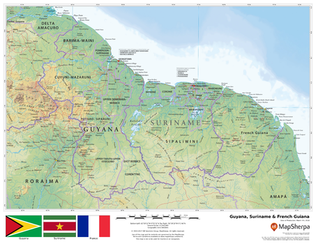
Guyana, Surinam & French Guiana
MapSherpa
This beautiful map shows physical and political features for Guyana, Surinam, French Guiana and surrounding areas. Relief shading and the use of different colours by height above sea level are both informative and attractive.
Page Size: 22 x 17 in (559 x 432 mm)
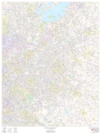
Gwinnett County, Georgia
MapSherpa
This map of Gwinnett County, Georgia shows regional level information. Base map features include highways and major roads with labelling; neighborhood names; railways; high level land use such as parks and recreation areas, industrial areas and hospital campuses; and a selection of points of interest including transportation hubs like airports and train stations, tourist information, police stations and shopping centres. ZIP code boundaries are shown as a secondary map feature.
Page Size: 36 x 48 in (914 x 1219 mm)
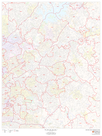
Gwinnett County, Georgia ZIP Codes
MapSherpa
This map of Gwinnett County, Georgia shows ZIP code areas overlaid on a road map. Ideal for planning of deliveries, home ervices, sales territories, real estate and much more. Base map features include all roads with major roads and highways labelled; neighborhood names; railways; and high level land use such as parks and recreation areas, industrial areas and hospital campuses.
Page Size: 36 x 48 in (914 x 1219 mm)
Hackberry Mountain Quadrangle, Arizona
United States Department of Agriculture Forest Service
United States Department of Agriculture Forestry Service topographical map of Hackberry Mountain, Coconino National Forest, Arizona.
Page Size: 21.75 x 27 in (552 x 686 mm)
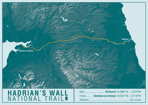
Hadrian's Wall Path National Trail Map Print
A-Z Maps
This map print highlights the National Trail route of the Hadrian's Wall Path, showing the start and finish points on an attractive relief base and created in the official National Trail colours.
Page Size: 23.5 x 16.75 in (594 x 420 mm)
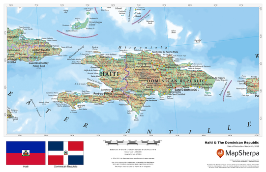
Haiti & The Dominican Republic
MapSherpa
This beautiful map shows physical and political features for Haiti, the Dominican Republic, and surrounding areas. Relief shading and the use of different colours by height above sea level are both informative and attractive.
Page Size: 17 x 11 in (432 x 279 mm)
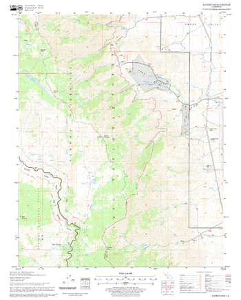
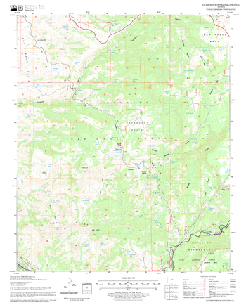
Haiwee Pass Quadrangle, California
United States Department of Agriculture Forest Service
United States Department of Agriculture Forestry Service topographical map of Haiwee Pass, Sequoia National Forest, California.
Page Size: 21.75 x 27 in (552 x 686 mm)
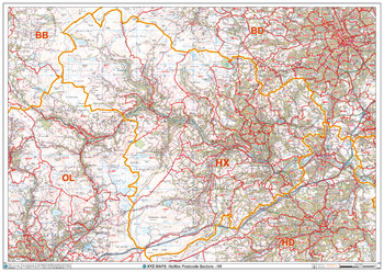
Halifax - HX - Postcode Wall Map
XYZ Maps
The Halifax Postcode Sector Wall Map shows detailed postcode sector boundaries (HX1 1, HX1 2) on a comprehensive background and is perfect for determining postcode boundaries for sales areas, planning mailshots and also an excellent reference for logistics. This wall map covers the whole of the HX Postcode Area.
Page Size: 47 x 33.25 in (1189 x 841 mm)
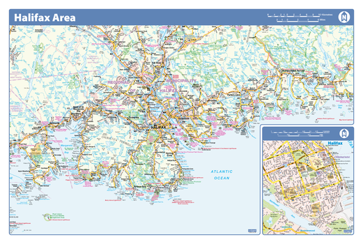
Halifax Area - Compact
Lucidmap
Map of the Halifax area showing major roads, major road names, political boundaries, major points of interest, parks, public buildings and landmarks.
Page Size: 21.5 x 14.25 in (546 x 362 mm)
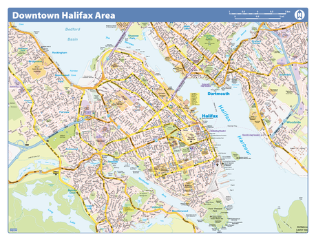
Halifax Downtown
Lucidmap
Map of downtown Halifax showing all roads, road names, political boundaries, transit, points of interest, parks, schools, churches, public buildings and landmarks.
Page Size: 40 x 28 in (1016 x 711 mm)
Halifax Downtown - Compact
Lucidmap
Map of downtown Halifax showing all roads, road names, political boundaries, transit, points of interest, parks, schools, churches, public buildings and landmarks.
Page Size: 21.5 x 16.25 in (546 x 413 mm)
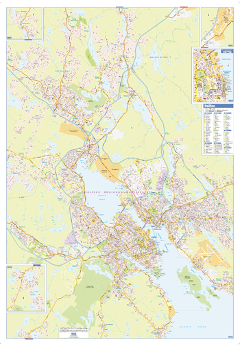
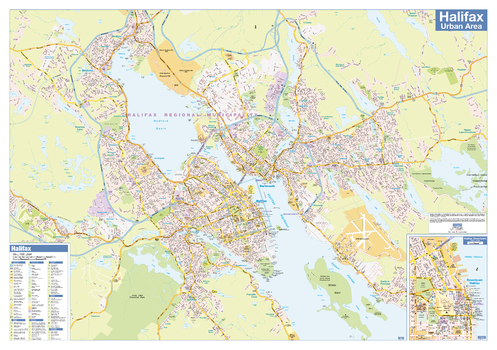
Halifax Wall Map - Street Detail - Large
Lucidmap
This large wall map shows highly detailed local information for the city of Halifax. Full street labeling along with transit information, parks, schools, churches and landmarks throughout the city are displayed.
The map has been designed in a very clear and legible manner with a traditional Canadian street map style embraced by map buyers over many years.
Page Size: 37 x 53.25 in (938 x 1350 mm)

Hall Ridge Quadrangle, California
United States Department of Agriculture Forest Service
United States Department of Agriculture Forestry Service topographical map of Hall Ridge, Mendocino National Forest, California.
Page Size: 21.75 x 27 in (552 x 686 mm)
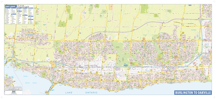
Halton Wall Map - Street Detail
Lucidmap
This wall map shows highly detailed local information for the Region of Halton. Full street labeling along with transit information, parks, schools, churches and landmarks throughout the city are displayed.
The map has been designed in a very clear and legible manner with a traditional Canadian street map style embraced by map buyers over many years.
Page Size: 51 x 23 in (1295 x 584 mm)
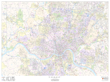
Hamilton County, Ohio
MapSherpa
This map of Hamilton County, Ohio shows street level information including street labeling. Base map features include all roads with major roads and highways labelled; neighborhood names; railways; high level land use such as parks and recreation areas, industrial areas and hospital campuses; and a variety of points of interest including libraries, stadiums, museums, border crossings and more. ZIP code boundaries are shown as a secondary map feature.
Page Size: 48 x 36 in (1219 x 914 mm)
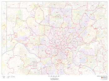
Hamilton County, Ohio ZIP Codes
MapSherpa
This map of Hamilton County, Ohio shows ZIP code areas overlaid on a road map. Ideal for planning of deliveries, home ervices, sales territories, real estate and much more. Base map features include all roads with major roads and highways labelled; neighborhood names; railways; and high level land use such as parks and recreation areas, industrial areas and hospital campuses.
Page Size: 48 x 36 in (1219 x 914 mm)

Hamilton Crossing Quadrangle, Arizona
United States Department of Agriculture Forest Service
United States Department of Agriculture Forestry Service topographical map of Hamilton Crossing, Coconino National Forest, Arizona.
Page Size: 21.75 x 27 in (552 x 686 mm)
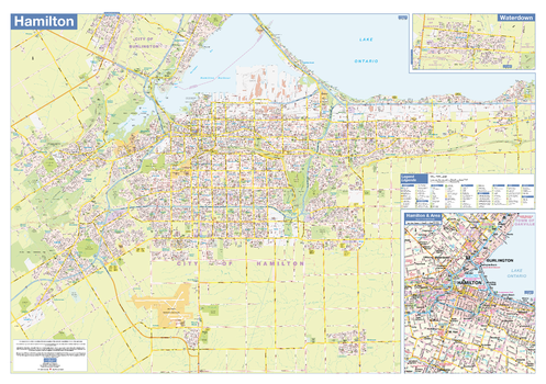
Hamilton Wall Map - Street Detail
Lucidmap
This wall map shows highly detailed local information for the city of Hamilton. Full street labeling along with transit information, parks, schools, churches and landmarks throughout the city are displayed.
The map has been designed in a very clear and legible manner with a traditional Canadian street map style embraced by map buyers over many years.
Page Size: 40 x 28 in (1016 x 711 mm)
No search results