


MapSherpa Catalog
World Environmental Wallpaper
Maps International
Our environmental world map is a fantastic representation of the world's environmental terrain and the different environmental categories - tundra, forests, deserts etc. Country borders and major cities are shown.
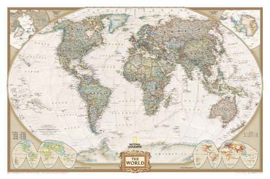
World Executive
National Geographic
National Geographic's World map is the standard by which all other reference maps are measured. The World map is meticulously researched and adheres to National Geographic's convention of making independent, apolitical decisions based on extensive research using multiple authoritative source,The Executive style World map uses an antique-style color palette and stunning shaded relief that provide a richness perfect for any decor. Drawn in the Winkel Tripel projection, distortions are minimized and unlike many other World maps, Greenland is show the same size as Argentina and not as the size of all of South America.Thousands of place names are carefully and artistically placed on the map to maintain legibility even in the heavily populated ares of Europe, Asia and the Middle East. Details include clearly defined international boundaries, cities, physical features, rivers, and ocean floor features. Corner inset maps feature vegetation and land use, and population density as well as the north and south polar regions.
Page Size: 46 x 30.5 in (1166 x 773 mm)
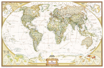
World Executive Spanish - Published in 2005
National Geographic
National Geographic's Executive style World Map translated to Spanish features the Winkel Tripel projection to reduce distortion of land masses as they near the poles. This creates the most visually accurate representation of Earth's land-masses, versus other projections. The Classic series includes blue oceans, easy-to-read colorful boundaries, and National Geographic's proprietary fonts. Up-to-date and very detailed, with thousands of named places such as countries, oceans, major cities, geographic features. Antique executive styling. Prevailing winds and ocean currents at sea. Separate insets show the North and South Polar Regions, world vegetation and land use, and world population density.
Page Size: 39 x 25.5 in (988 x 646 mm)
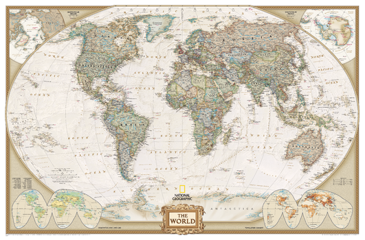
World Executive [Enlarged]
National Geographic
National Geographic's World map is the standard by which all other reference maps are measured. The World map is meticulously researched and adheres to National Geographic's convention of making independent, apolitical decisions based on extensive research using multiple authoritative source,The Executive style World map uses an antique-style color palette and stunning shaded relief that provide a richness perfect for any decor. Drawn in the Winkel Tripel projection, distortions are minimized and unlike many other World maps, Greenland is show the same size as Argentina and not as the size of all of South America.Thousands of place names are carefully and artistically placed on the map to maintain legibility even in the heavily populated ares of Europe, Asia and the Middle East. Details include clearly defined international boundaries, cities, physical features, rivers, and ocean floor features. Corner inset maps feature vegetation and land use, and population density as well as the north and south polar regions.Enlarged maps provide an immersive experience in any home or office environment. The exceptional cartography is even easier to appreciate at the larger size.
Page Size: 73 x 48 in (1852 x 1219 mm)
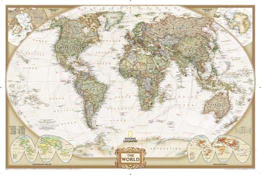
World Executive [Poster Size]
National Geographic
National Geographic's World map is the standard by which all other reference maps are measured. The World map is meticulously researched and adheres to National Geographic's convention of making independent, apolitical decisions based on extensive research using multiple authoritative source,The Executive style World map uses an antique-style color palette and stunning shaded relief that provide a richness perfect for any decor. Drawn in the Winkel Tripel projection, distortions are minimized and unlike many other World maps, Greenland is show the same size as Argentina and not as the size of all of South America.Thousands of place names are carefully and artistically placed on the map to maintain legibility even in the heavily populated ares of Europe, Asia and the Middle East. Details include clearly defined international boundaries, cities, physical features, rivers, and ocean floor features. Corner inset maps feature vegetation and land use, and population density as well as the north and south polar regions.Poster sized maps make a perfect addition to any sized space. They are specially designed to maximize content in a smaller footprint than standard wall maps and fit precisely into precut poster sized frames which makes finishing and hanging them a breeze.
Page Size: 36 x 24 in (914 x 610 mm)
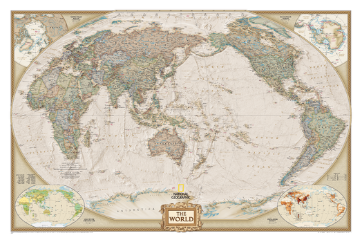
World Executive, Pacific Centered
National Geographic
National Geographic's World map is the standard by which all other reference maps are measured. The World map is meticulously researched and adheres to National Geographic's convention of making independent, apolitical decisions based on extensive research using multiple authoritative source.The Executive style World map uses an antique-style color palette and stunning shaded relief that provide a richness perfect for any decor. The Pacific Centered World map employs a unique view to accentuate the Pacific Rim, and focuses on Oceania and Asia and while showing the entire breadth of the Pacific Ocean. Drawn in a special Winkel Tripel projection, distortions are minimized and unlike many other World maps, Greenland is show the same size as Argentina and not as the size of all of South America.Thousands of place names are carefully and artistically placed on the map to maintain legibility even in the heavily populated ares of Europe, Asia and the Middle East. Details include clearly defined international boundaries, cities, physical features, rivers, and ocean floor features. Corner inset maps feature vegetation and land use, and population density as well as the north and south polar regions.
Page Size: 46 x 30.5 in (1166 x 773 mm)
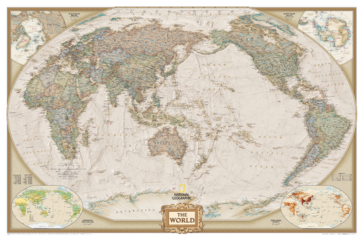
World Executive, Pacific Centered [Enlarged]
National Geographic
National Geographic's World map is the standard by which all other reference maps are measured. The World map is meticulously researched and adheres to National Geographic's convention of making independent, apolitical decisions based on extensive research using multiple authoritative source.The Executive style World map uses an antique-style color palette and stunning shaded relief that provide a richness perfect for any decor. The Pacific Centered World map employs a unique view to accentuate the Pacific Rim, and focuses on Oceania and Asia and while showing the entire breadth of the Pacific Ocean. Drawn in a special Winkel Tripel projection, distortions are minimized and unlike many other World maps, Greenland is show the same size as Argentina and not as the size of all of South America.Thousands of place names are carefully and artistically placed on the map to maintain legibility even in the heavily populated ares of Europe, Asia and the Middle East. Details include clearly defined international boundaries, cities, physical features, rivers, and ocean floor features. Corner inset maps feature vegetation and land use, and population density as well as the north and south polar regions.Enlarged maps provide an immersive experience in any home or office environment. The exceptional cartography is even easier to appreciate at the larger size.
Page Size: 73 x 48 in (1852 x 1219 mm)
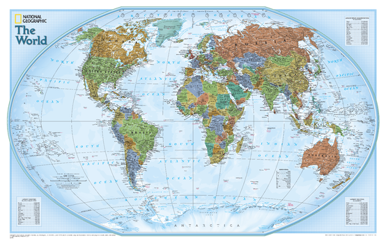
World Explorer
National Geographic
National Geographic's World map is the standard by which all other reference maps are measured. The World map is meticulously researched and adheres to National Geographic's convention of making independent, apolitical decisions based on extensive research using multiple authoritative source. The Explorer style World map uses a vibrant color palette that fills each country for easy identification, stunning shaded relief, and a light blue background grid pattern that echoes the cartographic precision that underlies all National Geographic maps. Drawn in the Winkel Tripel projection, distortions are minimized and unlike many other World maps, Greenland is show the same size as Argentina and not as the size of all of South America.Thousands of place names are carefully and artistically placed on the map to maintain legibility even in the heavily populated ares of Europe, Asia and the Middle East. Details include clearly defined international boundaries, cities, physical features, rivers, and ocean floor features. Inset charts list the largest cities by population and the largest countries by land mass and population.
Page Size: 32 x 20.25 in (813 x 511 mm)
World Explorer Executive
National Geographic
National Geographic's World map is the standard by which all other reference maps are measured. The World map is meticulously researched and adheres to National Geographic's convention of making independent, apolitical decisions based on extensive research using multiple authoritative source.The Explorer Executive style World map uses a antique color palette, stunning shaded relief, and a subtle background grid pattern that echoes the cartographic precision that underlies all National Geographic maps. Drawn in the Winkel Tripel projection, distortions are minimized and unlike many other World maps, Greenland is show the same size as Argentina and not as the size of all of South America.Thousands of place names are carefully and artistically placed on the map to maintain legibility even in the heavily populated ares of Europe, Asia and the Middle East. Details include clearly defined international boundaries, cities, physical features, rivers, and ocean floor features. Inset charts list the largest cities by population and the largest countries by land mass and population.
Page Size: 32 x 20.25 in (813 x 511 mm)
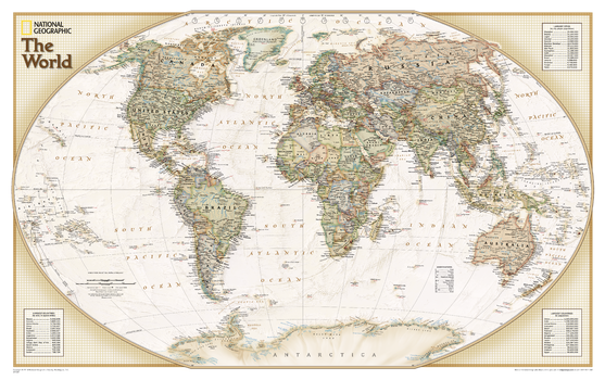
World Explorer Executive – Compact
National Geographic
National Geographic's World map is the standard by which all other reference maps are measured. The World map is meticulously researched and adheres to National Geographic's convention of making independent, apolitical decisions based on extensive research using multiple authoritative source.The Explorer Executive style World map uses a antique color palette, stunning shaded relief, and a subtle background grid pattern that echoes the cartographic precision that underlies all National Geographic maps. Drawn in the Winkel Tripel projection, distortions are minimized and unlike many other World maps, Greenland is show the same size as Argentina and not as the size of all of South America.Thousands of place names are carefully and artistically placed on the map to maintain legibility even in the heavily populated ares of Europe, Asia and the Middle East. Details include clearly defined international boundaries, cities, physical features, rivers, and ocean floor features. Inset charts list the largest cities by population and the largest countries by land mass and population.
Page Size: 25.5 x 16 in (646 x 406 mm)
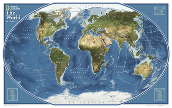
World Explorer Satellite - Published 2011
National Geographic
Satellite map of the world. The topography of the ocean floors is beautifully illustrated.
Page Size: 32 x 20.25 in (813 x 511 mm)
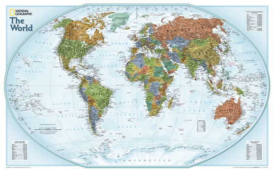
World Explorer – Compact
National Geographic
National Geographic's World map is the standard by which all other reference maps are measured. The World map is meticulously researched and adheres to National Geographic's convention of making independent, apolitical decisions based on extensive research using multiple authoritative source. The Explorer style World map uses a vibrant color palette that fills each country for easy identification, stunning shaded relief, and a light blue background grid pattern that echoes the cartographic precision that underlies all National Geographic maps. Drawn in the Winkel Tripel projection, distortions are minimized and unlike many other World maps, Greenland is show the same size as Argentina and not as the size of all of South America.Thousands of place names are carefully and artistically placed on the map to maintain legibility even in the heavily populated ares of Europe, Asia and the Middle East. Details include clearly defined international boundaries, cities, physical features, rivers, and ocean floor features. Inset charts list the largest cities by population and the largest countries by land mass and population.
Page Size: 25.5 x 16 in (646 x 406 mm)
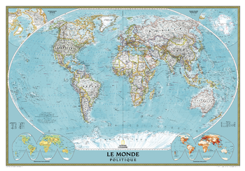
World French - Published in 2012
National Geographic
National Geographic’s Classic map of the world in French provides a detailed geographic view of national and regional boundaries, depicting current political realities across all continents. Perfect as a personal reference map pinpointing your travels both past and future, this map can also be a tool for businesses to display global office, supplier and distribution locations.
This signature Classic style map uses a bright, easy to read color palette featuring blue oceans and stunning shaded relief that has been featured on National Geographic wall maps for over 75 years. Drawn in the Winkel Tripel projection, distortions of land masses around the poles are minimized: unlike many other World maps, Greenland is accurately shown as the same size as Argentina and not the size of all of South America.
Thousands of place names are carefully placed on the map to maintain legibility even in the heavily populated areas of Europe, Asia and the Middle East. Details include clearly defined international boundaries, cities, physical features, rivers, and ocean floor features. Corner inset maps feature vegetation and land use, population density, and the north and south polar regions.
National Geographic's maps are the standard by which all other reference maps are measured. They are meticulously researched and adhere to National Geographic's convention of making independent, apolitical decisions based on extensive research using multiple authoritative source.
Page Size: 43.75 x 30.5 in (1106 x 774 mm)
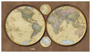
World Hemispheres
National Geographic
During the 1930's and 1940's, several National Geographic world maps were designed using a projection that separated the eastern and western hemispheres. National Geographic has brought back this classic view of the world with updated, modern cartography and an elegant earth-tone color palette. This new, yet fashionably retro, world map is the World Hemispheres.
Page Size: 42.75 x 24.5 in (1086 x 622 mm)
World Imagery
MapSherpa
Based on Mapbox Satellite which provides highly-detailed imagery for the whole world. Appropriate for mapping starting at 1:10,000 and up.
World Imagery Hybrid
MapSherpa
Based on Mapbox Satellite with OpenStreetMap street visualization for the whole world. Appropriate for mapping starting at 1:10,000 and up.
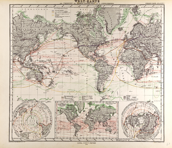
World Map - Gotha Justus Perthes 1872 Atlas
Artokoloro
Map of the World in German from the Gotha Justus Perthes 1872 Atlas showing ocean currents, sea ice, and sea floor features such as reefs. Full title: Welt-Karte zur Übersicht der Meeres-Strömungen und des Schnellverkehrs.
Page Size: 24.25 x 21 in (612 x 527 mm)
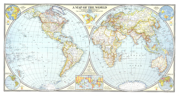
World Map - Published 1941
National Geographic
The Classic National Geographic World map of 1941. One of the last maps published prior to the bombing of Pearl Harbor, this extaordinary map shows the Eastern and Western Hemispheres, and features classic colorization to show the country borders and relief shading. A perfect complement to any world map collection.
Page Size: 42 x 22.5 in (1062 x 569 mm)
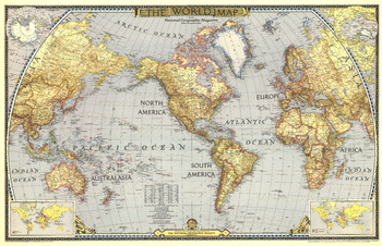
World Map - Published 1943
National Geographic
National Geographic published this classic world map in December 1943, in the midst of WWII. Compared to many of the other world maps by the National Geographic Society, this one had a decidedly dark cast, possibly a reflection of the tone of discouragement felt by many as the War continued on. A perfect companion to the World maps of 1951 and 1970.
Page Size: 41 x 26.5 in (1036 x 670 mm)
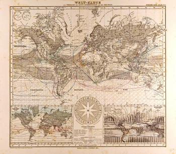
World Map in German - Gotha Justus Perthes 1872 Atlas
Artokoloro
Map of the World in German from the Gotha Justus Perthes 1872 Atlas showing wind currents, shipping routes and land cover. Full title: Welt-Karte zur Überscht der Lut-Strömungen und der See-Wege.
Page Size: 23.75 x 20.75 in (602 x 526 mm)
No search results