


MapSherpa Catalog
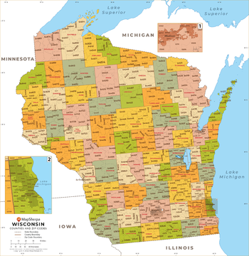
Wisconsin ZIP Code Map with Counties - Standard
MapSherpa
This map has been created exclusively for MapSherpa, and designed for business or reference use. Clear and clean colors & fonts matched with cartographic research makes this map of Wisconsin's counties and ZIP codes easily readable and useful.
Page Size: 36 x 37.25 in (914 x 941 mm)
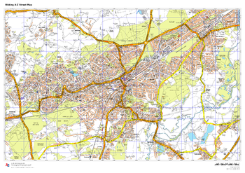
Woking A-Z Street Map
A-Z Maps
This up-to-date A-Z street map covers Woking, including the town centre together with the surrounding districts of Goldsworth Park, Horsell, Knaphill, Maybury, Pyrford, Sheerwater and St Johns.
Page Size: 33.25 x 23.5 in (841 x 594 mm)
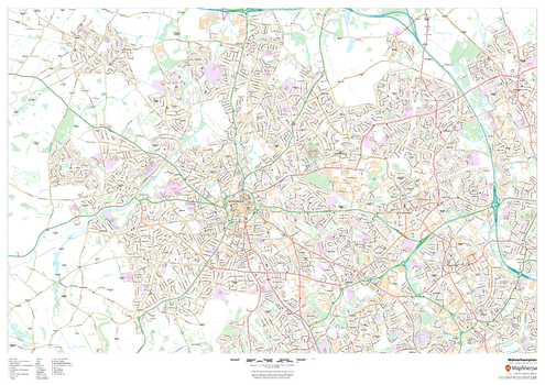
Wolverhampton
MapSherpa
This map of Wolverhampton shows detailed street level information including extensive street labelling. Ideal for planning of deliveries, home services, sales territories, real estate and much more.
Page Size: 47 x 33.25 in (1189 x 841 mm)
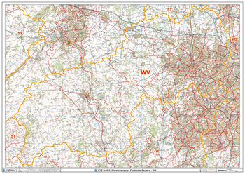
Wolverhampton - WV - Postcode Wall Map
XYZ Maps
The Wolverhampton Postcode Sector Wall Map shows detailed postcode sector boundaries (WV1 1, WV1 2) on a comprehensive background and is perfect for determining postcode boundaries for sales areas, planning mailshots and also an excellent reference for logistics. This wall map covers the whole of the WV Postcode Area.
Page Size: 47 x 33.25 in (1189 x 841 mm)
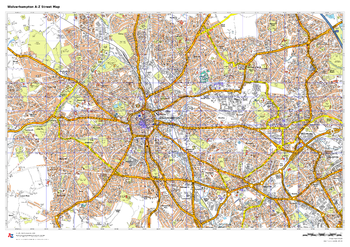
Wolverhampton A-Z Street Map
A-Z Maps
This up-to-date A-Z street map covers Wolverhampton, including the city centre together with the surrounding districts of Bilston, Bushbury, Ettingshall, Penn, Tettenhall and Wednesfield.
Page Size: 33.25 x 23.5 in (841 x 594 mm)
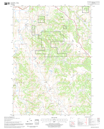
Wonder View Quadrangle, South Dakota
United States Forest Service
United States Department of Agriculture Forestry Service topographical map of Wonder View, Black Hills National Forest, South Dakota.
Page Size: 21.75 x 27 in (552 x 686 mm)
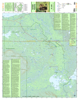
Wood Buffalo National Park
GoTrekkers
Wood Buffalo National Park
Page Size: 34 x 41 in (864 x 1041 mm)
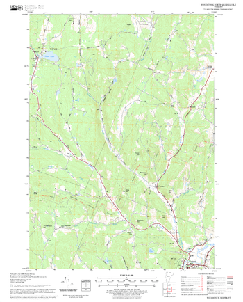
Woodstock North Quadrangle, New Hampshire-Vermont
United States Forest Service
United States Forestry Service topographical map of Woodstock North, New Hampshire-Vermont
Page Size: 21.75 x 27 in (552 x 686 mm)
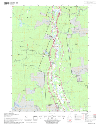
Woodstock Quadrangle, New Hampshire-Vermont
United States Forest Service
United States Forestry Service topographical map of Woodstock, New Hampshire-Vermont
Page Size: 21.75 x 27 in (552 x 686 mm)
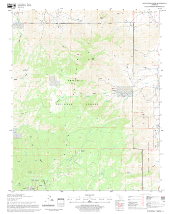
Woolstalf Creek Quadrangle, California
United States Forest Service
United States Department of Agriculture Forestry Service topographical map of Woolstalf Creek, Sequoia National Forest, California.
Page Size: 21.75 x 27 in (552 x 686 mm)
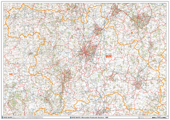
Worcester - WR - Postcode Wall Map
XYZ Maps
The Worcester Postcode Sector Wall Map shows detailed postcode sector boundaries (WR1 1, WR1 2) on a comprehensive background and is perfect for determining postcode boundaries for sales areas, planning mailshots and also an excellent reference for logistics. This wall map covers the whole of the WR Postcode Area.
Page Size: 47 x 33.25 in (1189 x 841 mm)
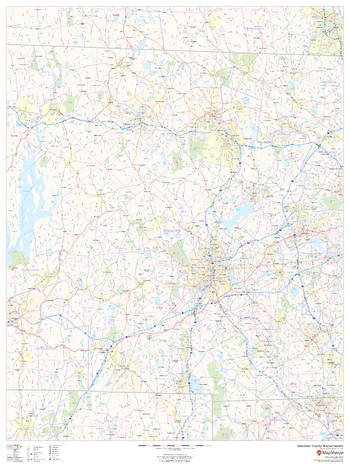
Worcester County, Massachusetts
MapSherpa
This map of Worcester County, Massachusetts shows regional level information. Base map features include highways and major roads with labelling; neighborhood names; railways; high level land use such as parks and recreation areas, industrial areas and hospital campuses; and a selection of points of interest including transportation hubs like airports and train stations, tourist information, police stations and shopping centres. ZIP code boundaries are shown as a secondary map feature.
Page Size: 36 x 48 in (914 x 1219 mm)
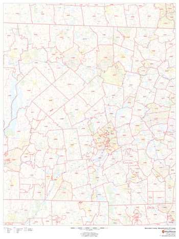
Worcester County, Massachusetts ZIP Codes
MapSherpa
This map of Worcester County, Massachusetts shows ZIP code areas overlaid on a road map. Ideal for planning of deliveries, home ervices, sales territories, real estate and much more. Base map features include all roads with major roads and highways labelled; neighborhood names; railways; and high level land use such as parks and recreation areas, industrial areas and hospital campuses.
Page Size: 36 x 48 in (914 x 1219 mm)
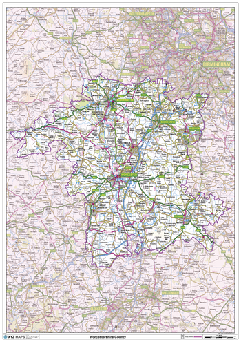
Worcestershire County Map
XYZ Maps
This is a large ceremonial county map of Worcestershire highlighting the county border, with the surrounding area faded out for excellent contrast. The map covers Worcester, Bromsgrove, Stourport-on-Severn, Droitwich, Evesham, Kidderminster and Malvern. The county map shows the latest County and Unitary Authority Boundaries, Overlaid on a Clear and Easy to Read Ordnance Survey map.
Page Size: 33.25 x 47 in (841 x 1189 mm)
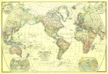
World - Published 1922
National Geographic
This classic world map, published in December of 1922, shows the world's political boundaries established following WWI. This map also shows airplane routes that had been established, as well as railroad routes.
Page Size: 41.5 x 28.5 in (1054 x 718 mm)
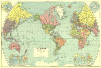
World - Published 1932
National Geographic
Vintage National Geographic colors and spectacular detail accentuate this beautiful world map, first published in National Geographic Magazine in December of 1932, accompanying an article entitled, "The Story of the Map."
Page Size: 38.25 x 26 in (970 x 656 mm)
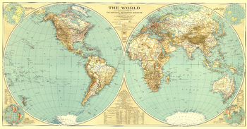
World - Published 1935
National Geographic
A National Geographic classic, this world map is as much a work of art as it is an incomparable reference for its time. In this map, the world's eastern and western hemispheres are show separately to give the viewer a true sense of area across the continents.
Page Size: 43.75 x 23 in (1107 x 579 mm)
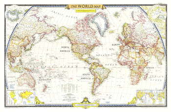
World - Published 1951
National Geographic
The first World Map published by National Geographic following WWII, this classic is a perfect companion to the World Map published in December 1943. The brightness of this map communicates the optimism following WWII, with an inset showing the United Nations, along with a list of the nations who had joined as of December 1951.
Page Size: 42 x 27.75 in (1063 x 699 mm)
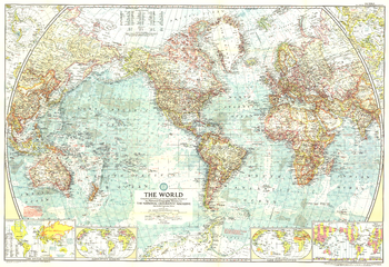
World - Published 1957
National Geographic
This National Geographic classic is a perfect companion to the World Maps published in December 1943 and December 1951. A cartographic masterpiece, this 1955 map combines a clean, light style with tremendous attention to detail--both on land an in the oceans.
Page Size: 42 x 28.75 in (1063 x 728 mm)
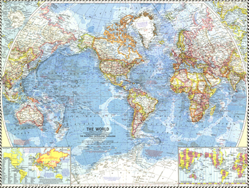
World - Published 1960
National Geographic
The National Geographic 1960 World map was published in the midst of sweeping changes in Africa, as many countries gained their independence. This map shows all the changes that had been made as of September, 1960, when the map went to press. Bright boundaries highlight international borders, and the map features extrordinary detail on land and in the oceans. A perfect map for anyone interested in the changes from colonialism to independent rule in Africa.
Page Size: 25 x 19 in (632 x 478 mm)
No search results