


MapSherpa Catalog
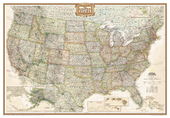
United States Executive [Enlarged]
National Geographic
National Geographic's Executive reference map of the United States features all 50 States with insets for Alaska and Hawaii in antique-executive cartographic style. Each state is colored to clearly define borders and shaded relief accentuates geographical features. All major cities, transportation routes, state boundaries, National Parks, lakes and rivers, and mountain ranges are clearly displayed and labeled.Enlarged maps provide an immersive experience in any home or office environment. The exceptional cartography is even easier to appreciate at the larger size.
Page Size: 69.25 x 48 in (1759 x 1219 mm)
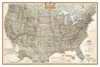
United States Executive [Poster Size]
National Geographic
National Geographic's Executive reference map of the United States features all 50 States with insets for Alaska and Hawaii in antique-executive cartographic style. Each state is colored to clearly define borders and shaded relief accentuates geographical features. All major cities, transportation routes, state boundaries, National Parks, lakes and rivers, and mountain ranges are clearly displayed and labeled.Poster sized maps make a perfect addition to any sized space. They are specially designed to maximize content in a smaller footprint than standard wall maps and fit precisely into precut poster sized frames which makes finishing and hanging them a breeze.
Page Size: 36 x 24 in (914 x 610 mm)
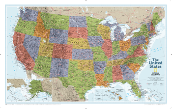
United States Explorer
National Geographic
The United States Explorer map is a classic example of the cartographic excellence National Geographic is known for. This colorful political map clearly shows state boundaries, capitals, major highways, rivers, lakes, and many major cities. Insets show detail of Alaska and Hawaii. The color palette is vibrant and stunning shaded relief provides additional texture and detail.
Page Size: 32 x 20.25 in (813 x 511 mm)
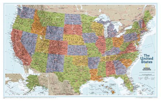
United States Explorer – Compact
National Geographic
The United States Explorer map is a classic example of the cartographic excellence National Geographic is known for. This colorful political map clearly shows state boundaries, capitals, major highways, rivers, lakes, and many major cities. Insets show detail of Alaska and Hawaii. The color palette is vibrant and stunning shaded relief provides additional texture and detail.
Page Size: 25.5 x 16 in (646 x 406 mm)
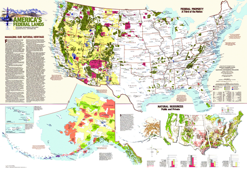
United States Federal Lands - Published 1982
National Geographic
A third of the United States, nearly 740 million acres, remains in federal hands and there is constant debate over how to manage them. This map features an abundance of information about federal land use and resources. Published in September 1982 as a companion to the "United States" map and the article "Our National Forests: Problems in Paradise."
Page Size: 42.5 x 29.25 in (1078 x 739 mm)
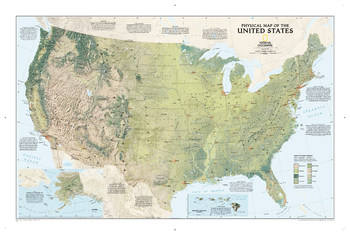
United States Physical
National Geographic
See the magnificence of the US landscape with the US Physical map. The map depicts the great variety of natural vegetation from tundra in Alaska to desert in Arizona. Notes describe the major physical regions - from the Coastal Plain in the east to the Pacific Coast Mountains in the west, and beautiful hand-painted relief reveals topography and major features to create a visually stunning reference map.
Page Size: 38.5 x 25.25 in (974 x 641 mm)
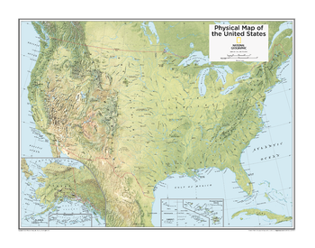
United States Physical - Atlas of the World, 10th Edition
National Geographic
Page Size: 28 x 22 in (711 x 559 mm)
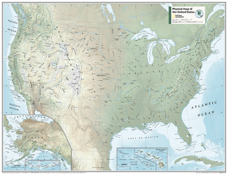
United States Physical - Atlas of the World, 11th Edition
National Geographic
This American map of physical features can fit in any space. Showcasing the continent in stunning detail with state-of-the-art cartographic techniques delivering accuracy and exceptional quality, the innovative and engaging design makes the content easily accessible and user-friendly.
Ideal for classrooms with an emphasis on teaching geography or environmental themes. Physical wall maps give your students a genuine feel for how our world appears. This map is perfect to help students develop navigation skills using latitude and longitude and to identify key physical features.
This map of America uses a bright, easy to read color palette featuring blue oceans and stunning shaded relief that has been featured on National Geographic wall maps for over 75 years. Drawn in the Albers Conic Equal-Area projection, tihis map uses two standard parallels between which distortion is minimized.
Names of geographic features are carefully placed on the map to maintain legibility. Inset maps feature Hawai'i and Alaska.
This map is found in National Geographic's 11th Edition World Atlas and is now available as a stand alone product.
Page Size: 31.5 x 24 in (798 x 610 mm)
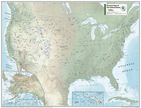
United States Physical - Atlas of the World, 11th Edition - Compact
National Geographic
This American map of physical features can fit in any space. Showcasing the continent in stunning detail with state-of-the-art cartographic techniques delivering accuracy and exceptional quality, the innovative and engaging design makes the content easily accessible and user-friendly.
Ideal for classrooms with an emphasis on teaching geography or environmental themes. Physical wall maps give your students a genuine feel for how our world appears. This map is perfect to help students develop navigation skills using latitude and longitude and to identify key physical features.
This map of America uses a bright, easy to read color palette featuring blue oceans and stunning shaded relief that has been featured on National Geographic wall maps for over 75 years. Drawn in the Albers Conic Equal-Area projection, this map uses two standard parallels between which distortion is minimized.
Names of geographic features are carefully placed on the map to maintain legibility. Inset maps feature Hawai'i and Alaska.
This map is found in National Geographic's 11th Edition World Atlas and is now available as a stand alone product.
Page Size: 21.5 x 16.25 in (540 x 413 mm)
United States Political - Atlas of the World, 10th Edition
National Geographic
Page Size: 28 x 22 in (711 x 559 mm)
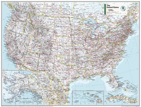
United States Political - Atlas of the World, 11th Edition
National Geographic
This American map of political features can fit in any space. Showcasing the continent in stunning detail with state-of-the-art cartographic techniques delivering accuracy and exceptional quality, the innovative and engaging design makes the content easily accessible and user-friendly.
Ideal for classrooms with an emphasis on teaching geography or environmental themes. The inclusion of physical features give your students a genuine feel for how our world appears.
This map of America uses a bright, easy to read color palette featuring blue oceans and stunning shaded relief that has been featured on National Geographic wall maps for over 75 years. Insets of Hawai'i and Alaska are included. This map is drawn in the Albers Conic Equal-Area projection, which uses two standard parallels between which distortion is minimized, however scale and shape is not preserved.
Names of geographic features are carefully placed on the map to maintain legibility.
This map is found in National Geographic's 11th Edition World Atlas and is now available as a stand alone product.
Page Size: 31.5 x 24 in (798 x 610 mm)
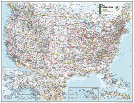
United States Political - Atlas of the World, 11th Edition - Compact
National Geographic
This American map of political features can fit in any space. Showcasing the continent in stunning detail with state-of-the-art cartographic techniques delivering accuracy and exceptional quality, the innovative and engaging design makes the content easily accessible and user-friendly.
Ideal for classrooms with an emphasis on teaching geography or environmental themes. The inclusion of physical features give your students a genuine feel for how our world appears.
This map of America uses a bright, easy to read color palette featuring blue oceans and stunning shaded relief that has been featured on National Geographic wall maps for over 75 years. Insets of Hawai'i and Alaska are included. This map is drawn in the Albers Conic Equal-Area projection, which uses two standard parallels between which distortion is minimized, however scale and shape is not preserved.
Names of geographic features are carefully placed on the map to maintain legibility.
This map is found in National Geographic's 11th Edition World Atlas and is now available as a stand alone product.
Page Size: 21.5 x 16.25 in (540 x 413 mm)
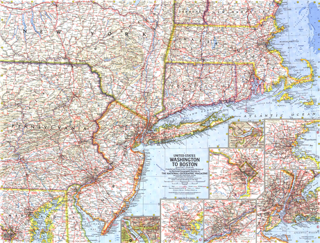
United States Washington to Boston - Published 1962
National Geographic
This map includes a collection of detailed insets of the cities of Washington, Boston, Baltimore, Philadelphia, and New York. Published in August 1962 with two articles, "The Old Boston Post Roads" and "The Post Road Today."
Page Size: 25 x 19 in (631 x 480 mm)
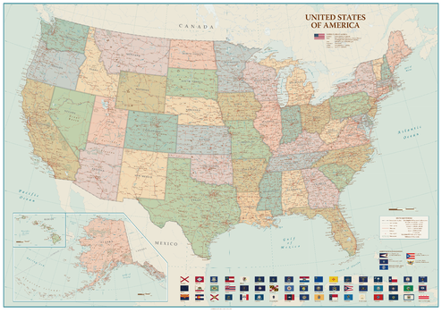
United States of America
Sparrow Maps
A beautiful, clear, political map of the USA in soft muted colours - ideal for a more traditional décor. Settlements are classified by population with state capitals highlighted. Major highways, roads and railroads are shown as well as major airports. National Parks are included and main physical features named. Hawaii (same scale as main map) and Alaska (at 1:9,330,000) are shown in an inset. Illustrated with flags of the states and the US overseas territories.
Page Size: 47 x 33.25 in (1188 x 841 mm)
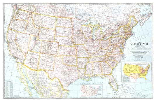
United States of America - Published 1940
National Geographic
Great maps communicate something about the era in which they are published. This US map, first published in National Geographic in December of 1940, is a cartographic gem. This map included two insets that tell much about the time it was published. One inset shows the population shift between 1930 and 1940, following the devastation of the droughts of the 1930s. Another inset shows the Army Service Command Areas and Naval Districts as the US prepared to enter WWII. Any map collector will delight in the balance between features and extraordinary detail.
Page Size: 41.5 x 27.25 in (1053 x 690 mm)
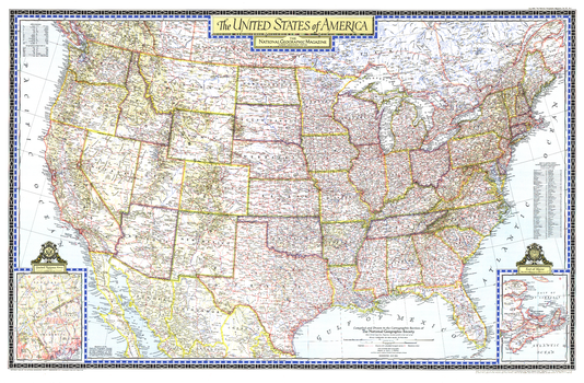
United States of America - Published 1946
National Geographic
This beautiful United States map was published in the July, 1946 National Geographic Magazine. The map shows all the major highways of the time, and is rich in detail and cartographic excellence. An interesting inset shows the proposed area in which the as yet unlocated United Nations would find its permanent home.
Page Size: 41.25 x 27 in (1044 x 685 mm)
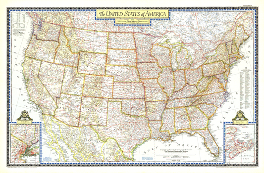
United States of America - Published 1951
National Geographic
Beautiful cartography and attention to detail are the hallmarks of this beautiful United States map, first published in the June, 1951. The map shows all the major highways of the time, along with a key to national parks and monuments in the US and provincial parks in southern Canada. A perfect companion to the world map published in December of the same year.
Page Size: 42 x 27.5 in (1063 x 697 mm)
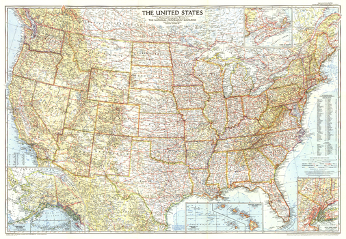
United States of America - Published 1956
National Geographic
Stunning cartography, superb detail, and new insets for the Territories of Alaska and Hawaii make this United States map a classic. Published in September of 1956, prior to the statehood of Alaska and Hawaii.
Page Size: 42 x 29 in (1061 x 734 mm)
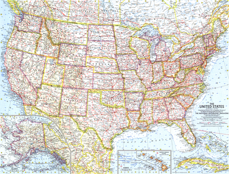
United States of America - Published 1961
National Geographic
The first United States map published by National Geographic following the statehood of Alaska and Hawaii. This map also shows the beginnings of the Freeway system that soon became the Interstate Highway system. Published in July 1961.
Page Size: 25 x 19 in (633 x 480 mm)
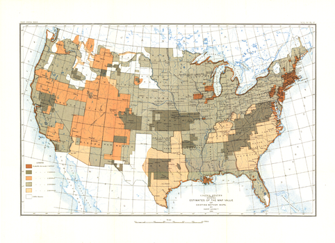
United States of America - Published 1892
National Geographic
Most cartographers will tell you that a map is only as good as the source information from which it is gathered. This United States map, first published in March of 1892, shows the US with an overlay describing the relative quality of source maps, or "Mother Maps" available at that time for various sections of the country. The map was painstakingly compiled by mapping pioneer Henry Gannett of the US Geological Survey.
Page Size: 17.75 x 13 in (451 x 328 mm)
No search results