top of page


United States of America
Sparrow Maps
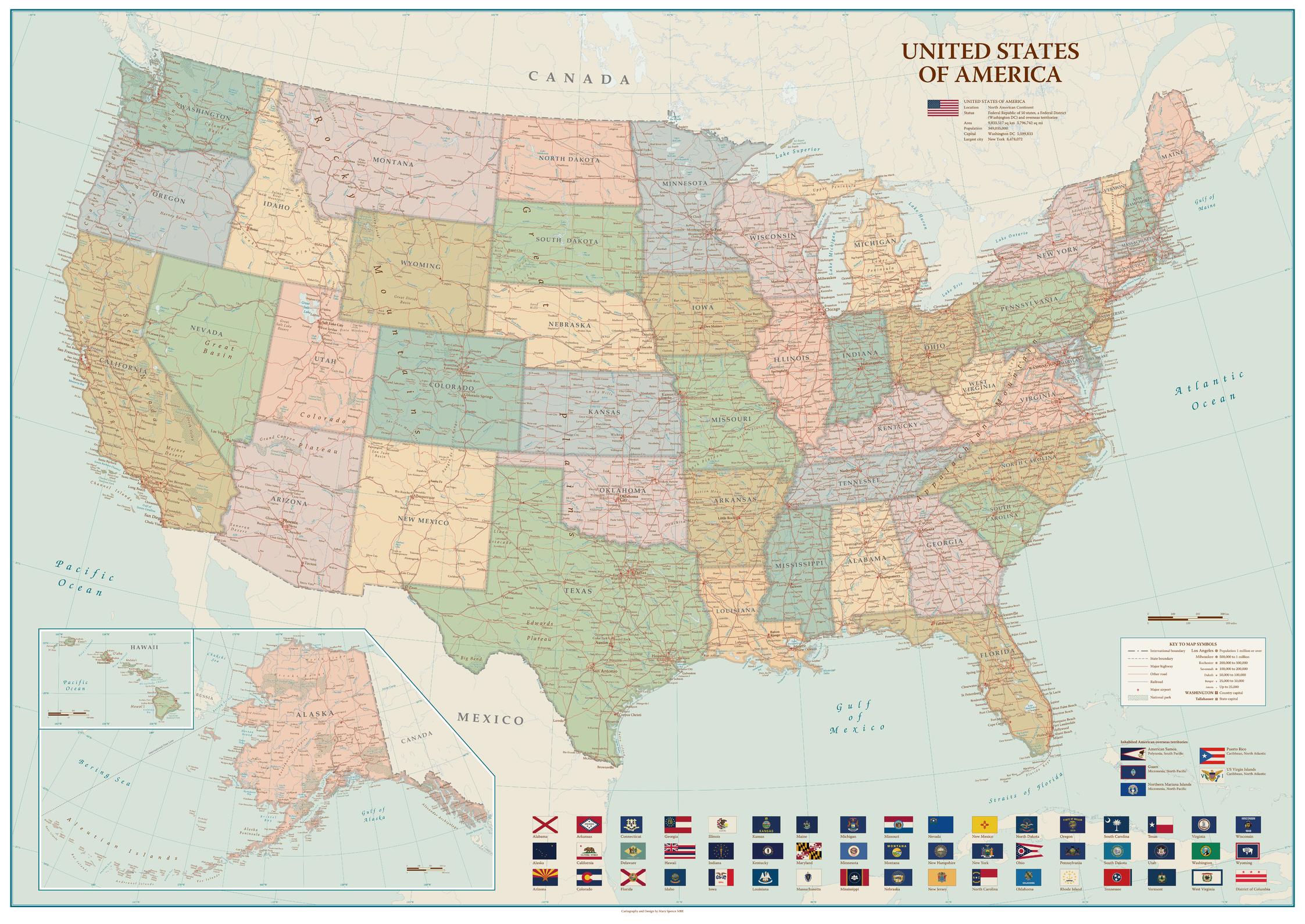
A beautiful, clear, political map of the USA in soft muted colours - ideal for a more traditional décor. Settlements are classified by population with state capitals highlighted. Major highways, roads and railroads are shown as well as major airports. National Parks are included and main physical features named. Hawaii (same scale as main map) and Alaska (at 1:9,330,000) are shown in an inset. Illustrated with flags of the states and the US overseas territories.
Page Size: 47 x 33.25 in (1188 x 841 mm)
Buy this map on MapTrove.ca
bottom of page