


MapSherpa Catalog
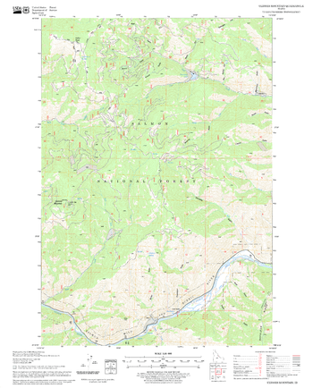
Ulysses Mountain Quadrangle, Idaho
United States Forest Service
United States Department of Agriculture Forestry Service topographical map of Ulysses Mountain, Salmon-Chalis National Forest, Idaho.
Page Size: 21.75 x 27 in (552 x 686 mm)
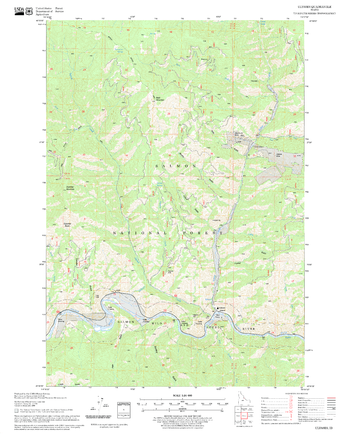
Ulysses Quadrangle, Idaho
United States Forest Service
United States Department of Agriculture Forestry Service topographical map of Ulysses, Salmon-Chalis National Forest, Idaho.
Page Size: 21.75 x 27 in (552 x 686 mm)
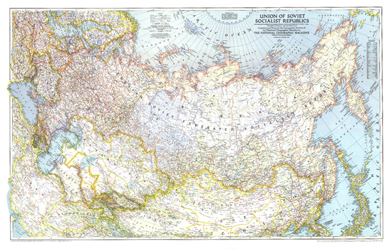
Union of Soviet Socialist Republics 1938-1944 - Published 1944
National Geographic
This World War II era map of the Union of Soviet Socialist Republics was published in December 1944, at the beginning of the Battle of the Bulge. International boundaries according to Russian treaties and claims as of October 1, 1944 are shown on this map, and boundaries as of January 1, 1938, before Germany invaded Poland, are noted in red.
Page Size: 40.5 x 25.75 in (1027 x 654 mm)
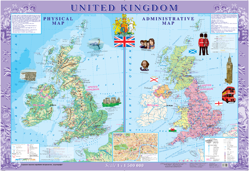
United Kingdom Wall Map - Physical and Political - Extra Large
Kartographia
This decorative wall map of the United Kingdom includes both a physical map and a political map. Also included is an inset map of London at a scale of 1:30 000.
Shown on the physical map are famous nature monuments, parks and reserves, historical and archeological features, caves, climatic spas, zoos and other interesting features.
The political map highlights the four kingdoms that make up the country; England, Scotland, Wales and Northern Ireland. Features of interests identified on the map include architectural and historical monuments, middle age abbeys, palaces and castles, museums and theaters, places of birth of prominent people and other interesting features.
Page Size: 62.5 x 43 in (1586 x 1086 mm)
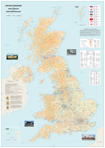
United Kingdom of Great Britain and Northern Ireland
Sparrow Maps
A detailed physical map showing relief features on land with administrative boundaries, road, railways, airports, urban areas and settlements. A table of geographical comparisons by country lists highest peaks, longest rivers and largest lakes and a table gives major city populations for each constituent country. Texts on the governance and formation of the UK are illustrated with details and images of the Royal Coats of Arms plus images of the seat of government for the four countries. A panel explains the status of the countries and dependencies within UK with area and population statistics, illustrated with their flags.
Page Size: 33.25 x 47 in (840 x 1188 mm)
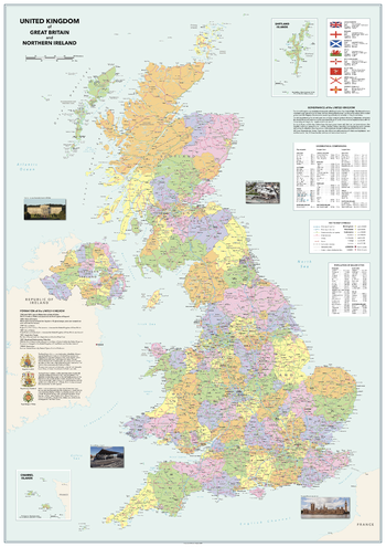
United Kingdom of Great Britain and Northern Ireland - Vibrant
Sparrow Maps
An alternative look to the Vintage UK map using brighter colours, clearer symbology and modern fonts but retaining all the same features. A detailed map showing administrative areas, road, railways, airports and settlements. A table of geographical comparisons by country lists highest peaks, longest rivers and largest lakes and a table gives major city populations for each constituent country. Texts on the governance and formation of the UK are illustrated with details and images of the Royal Coats of Arms plus images of the seat of government for the four countries. A panel explains the status of the countries and dependencies within UK with area and population statistics, illustrated with their flags. A beautiful, clear, political map of the United Kingdom in clear, vibrant colours - ideal for a more modern décor.
Page Size: 33.25 x 47 in (840 x 1188 mm)
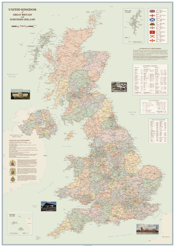
United Kingdom of Great Britain and Northern Ireland - Vintage
Sparrow Maps
A detailed political map showing administrative areas, road, railways, airports and settlements. A table of geographical comparisons by country lists highest peaks, longest rivers and largest lakes and a table gives major city populations for each constituent country. Texts on the governance and formation of the UK are illustrated with details and images of the Royal Coats of Arms plus images of the seat of government for the four countries. A panel explains the status of the countries and dependencies within UK with area and population statistics, illustrated with their flags. A beautiful, clear, political map of the United Kingdom in soft muted colours - ideal for a more traditional décor.
Page Size: 33.25 x 47 in (840 x 1188 mm)
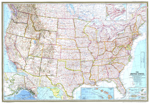
United States - Published 1968
National Geographic
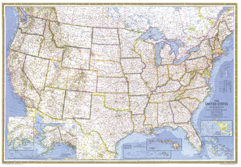
This stunning United States map is a historical gem, capturing a snapshot of the country as the Interstate system expanded at a torrid pace. It features beautiful cartography, combining many layers of information into an integrated whole that is as artistic as it is informative. Published in February 1968 as an update to the July 1961 US map.
Page Size: 42.5 x 29.5 in (1078 x 748 mm)
United States - Published 1976
National Geographic
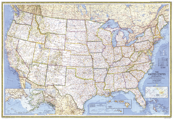
This stunning United States map uses the classic National Geographic colors and style. Published in July 1976 as an update to the February 1968 US map.
Page Size: 42.5 x 29.5 in (1080 x 748 mm)
United States - Published 1987
National Geographic
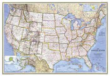
This stunning United States map uses the classic National Geographic colors and style. Published in September 1987 as an update to the September 1982 US map.
Page Size: 42.5 x 29.25 in (1078 x 742 mm)
United States - Published 1993
National Geographic
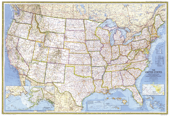
This stunning United States map uses the classic National Geographic colors and style. Published in September 1993 as an update to the September 1987 US map.
Page Size: 43.25 x 30 in (1098 x 758 mm)
United States - Published 1982
National Geographic
This stunning United States map uses the classic National Geographic colors and style. Published in September 1982 as an update to the July 1976 US map.
Page Size: 42.5 x 29.25 in (1078 x 739 mm)
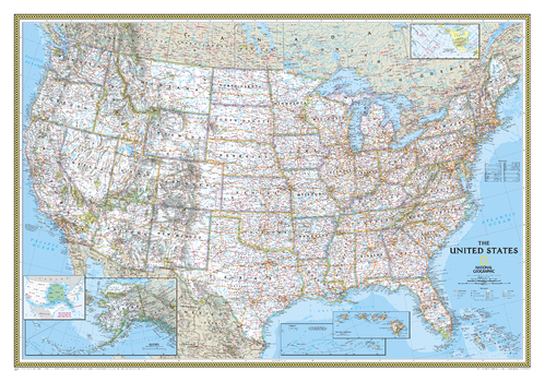
United States Classic
National Geographic
The signature Classic style United States map uses a bright, easy to read color palette featuring blue oceans and stunning shaded relief that has been featured on National Geographic wall maps for over 75 years. All 50 States are featured including insets for Alaska and the Hawaiian Islands. An inset demonstrating the relative size of Alaska is shown as well. All major cities, transportation routes, State boundaries, National Parks, inland waterways, and mountain ranges are clearly displayed and labeled. It is truly an iconic map that never goes out of style.
Page Size: 43.75 x 30.5 in (1106 x 773 mm)
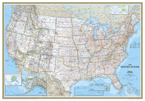
United States Classic [Enlarged]
National Geographic
The signature Classic style United States map uses a bright, easy to read color palette featuring blue oceans and stunning shaded relief that has been featured on National Geographic wall maps for over 75 years. All 50 States are featured including insets for Alaska and the Hawaiian Islands. An inset demonstrating the relative size of Alaska is shown as well. All major cities, transportation routes, State boundaries, National Parks, inland waterways, and mountain ranges are clearly displayed and labeled. It is truly an iconic map that never goes out of style.Enlarged maps provide an immersive experience in any home or office environment. The exceptional cartography is even easier to appreciate at the larger size.
Page Size: 69.25 x 48 in (1759 x 1219 mm)
United States Classic [Poster Size]
National Geographic
The signature Classic style United States map uses a bright, easy to read color palette featuring blue oceans and stunning shaded relief that has been featured on National Geographic wall maps for over 75 years. All 50 States are featured including insets for Alaska and the Hawaiian Islands. An inset demonstrating the relative size of Alaska is shown as well. All major cities, transportation routes, State boundaries, National Parks, inland waterways, and mountain ranges are clearly displayed and labeled. It is truly an iconic map that never goes out of style.Poster sized maps make a perfect addition to any sized space. They are specially designed to maximize content in a smaller footprint than standard wall maps and fit precisely into precut poster sized frames which makes finishing and hanging them a breeze.
Page Size: 36 x 24 in (914 x 610 mm)
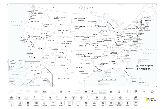
United States Coloring Map with Flags
National Geographic
Map of the United States suitable for coloring. Oceans and major water bodies shown in blue.
Page Size: 36 x 24 in (914 x 610 mm)
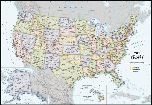
United States Contemporary Wall Map - Compact
National Geographic
Available for the first time, from a name you trust, the National Geographic United States Contemporary Wall Map Compact. Developed and researched to the standards that only National Geographic can live up to. Designed specifically to comfortably fit on your business or school desk, or a spot on your wall. Presenting the right amount of information to be compact and readable, this map and features the Albers Conic Equal-Area Projection.
Page Size: 23.25 x 16 in (589 x 406 mm)
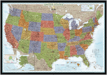
United States Decorator
National Geographic
National Geographic's Decorator style map of the United States features rich, attractive color fills that bring any room or classroom to life. The map clearly highlights the differences in the urban and physical geography of each state, and national parks are outlined with eye-catching green vignettes. All 50 States are featured including insets for Alaska and the Hawaiian Islands. An inset demonstrating the relative size of Alaska is shown as well. All major cities, transportation routes, State boundaries, inland waterways, and mountain ranges are clearly displayed and labeled.
Page Size: 43.75 x 30.5 in (1106 x 773 mm)
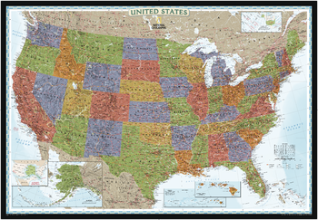
United States Decorator [Enlarged]
National Geographic
National Geographic's Decorator style map of the United States features rich, attractive color fills that bring any room or classroom to life. The map clearly highlights the differences in the urban and physical geography of each state, and national parks are outlined with eye-catching green vignettes. All 50 States are featured including insets for Alaska and the Hawaiian Islands. An inset demonstrating the relative size of Alaska is shown as well. All major cities, transportation routes, State boundaries, inland waterways, and mountain ranges are clearly displayed and labeled.Enlarged maps provide an immersive experience in any home or office environment. The exceptional cartography is even easier to appreciate at the larger size.
Page Size: 69.25 x 48 in (1759 x 1219 mm)
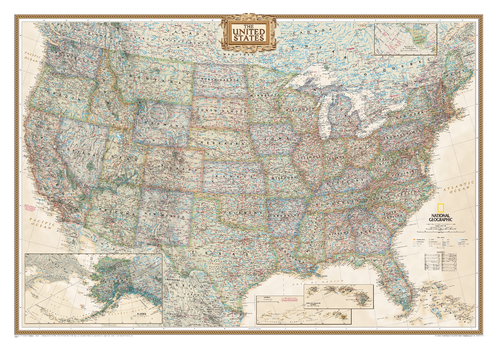
United States Executive
National Geographic
National Geographic's Executive reference map of the United States features all 50 States with insets for Alaska and Hawaii in antique-executive cartographic style. Each state is colored to clearly define borders and shaded relief accentuates geographical features. All major cities, transportation routes, state boundaries, National Parks, lakes and rivers, and mountain ranges are clearly displayed and labeled.
Page Size: 43.75 x 30.5 in (1106 x 773 mm)
No search results