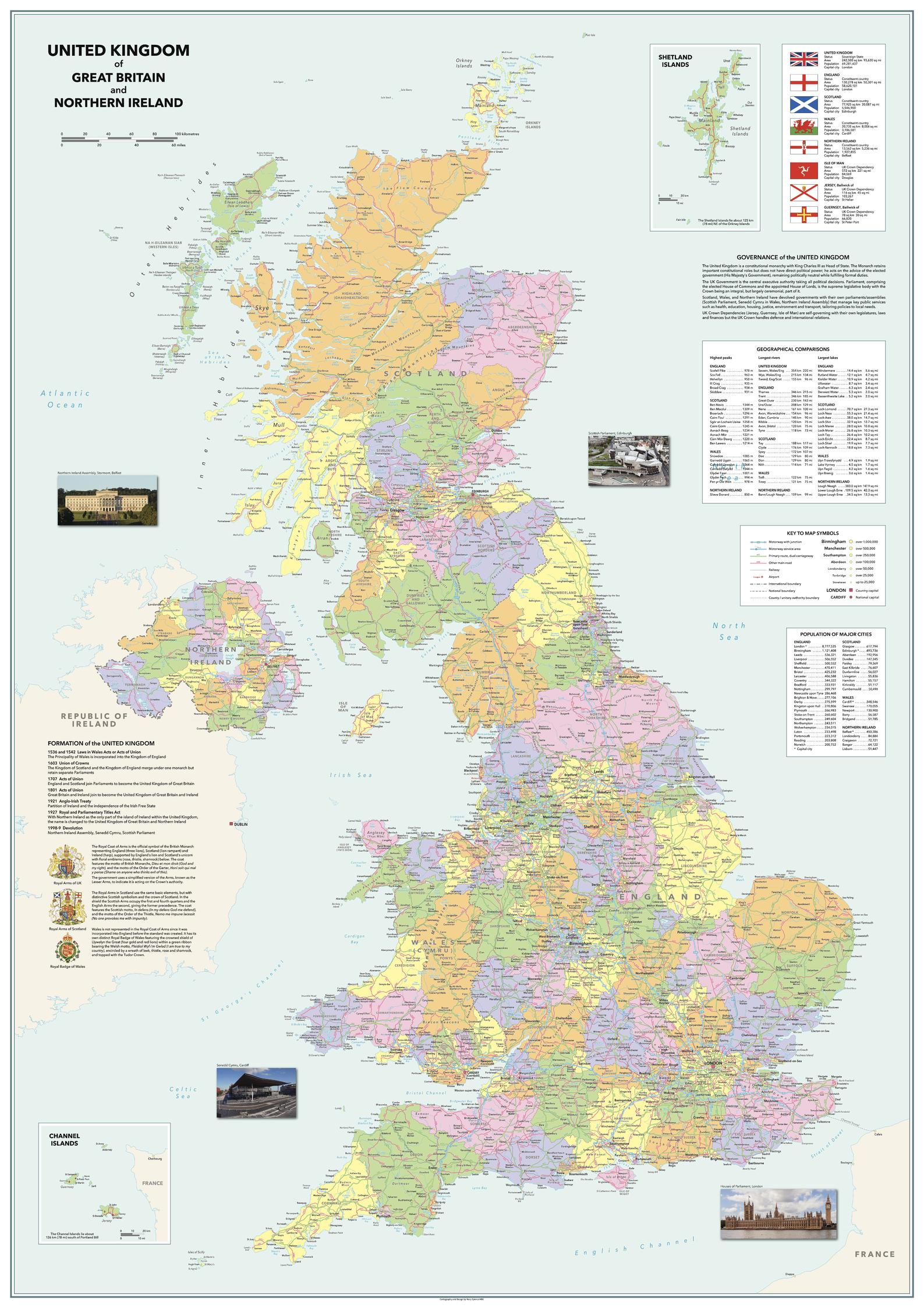
United Kingdom of Great Britain and Northern Ireland - Vibrant
Sparrow Maps
An alternative look to the Vintage UK map using brighter colours, clearer symbology and modern fonts but retaining all the same features. A detailed map showing administrative areas, road, railways, airports and settlements. A table of geographical comparisons by country lists highest peaks, longest rivers and largest lakes and a table gives major city populations for each constituent country. Texts on the governance and formation of the UK are illustrated with details and images of the Royal Coats of Arms plus images of the seat of government for the four countries. A panel explains the status of the countries and dependencies within UK with area and population statistics, illustrated with their flags. A beautiful, clear, political map of the United Kingdom in clear, vibrant colours - ideal for a more modern décor.
Page Size: 33.25 x 47 in (840 x 1188 mm)
Buy this map on MapTrove.ca