


MapSherpa Catalog
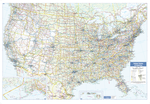
USA Wall Map
Lucidmap
This wall map of USA shows political boundaries, place names, highways, major parks and conservation areas, and points of interest.
The map has been designed with a traditional Canadian style embraced by map buyers over many years.
Page Size: 39.5 x 27.25 in (1003 x 692 mm)

USA Wall Map - Extra Large
Kartographia
This physical wall map of the United States of America shows the varied terrain of the country. Features included on the map include UNESCO World cultural heritage sites, reserves and national parks, historical and natural monuments, archeological monuments and buildings of significance. The map is supplemented by illustrations and pictures.
Page Size: 62.5 x 43 in (1586 x 1086 mm)
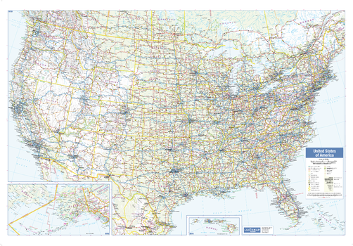
USA Wall Map - Large
Lucidmap
This large wall map of USA shows political boundaries, place names, highways, major parks and conservation areas, and points of interest.
The map has been designed with a traditional Canadian style embraced by map buyers over many years.
Page Size: 54 x 37.5 in (1372 x 953 mm)
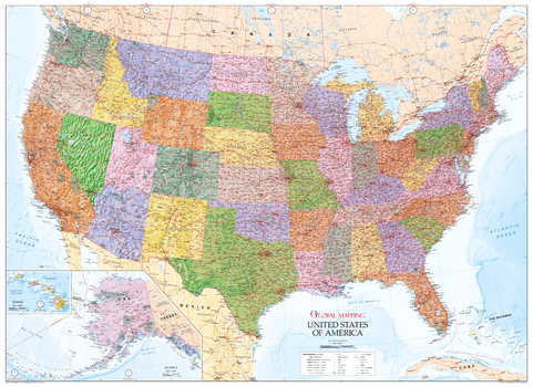
USA Wall Map - State Map with Relief
Global Mapping
This excellent wall map of USA encompasses all the beautiful design and accuracy you would expect from Global Mapping. The detailed map features railways, highways, canals, state and county boundaries as well as denoting the time zones. Hawaii and Alaska are shown in insets and the stunning terrain really brings the map to life
Page Size: 55.25 x 40.25 in (1400 x 1020 mm)
USA ZIP Codes
MapSherpa
Custom 5-Digit ZIP Code maps can be made for anywhere in America. These attractive and informative maps include extensive geographic detail including: interstate and state highways; streets and street names at detailed scales; cities and towns; and, counties and state names and boundaries.Ideal for service delivery, retail siting, sales region planning and many other business and organizational functions.
USA ZIP Codes - Street Index
MapSherpa
Custom 5-Digit ZIP Code maps can be made for anywhere in America. This product has an accompanying street index file. These attractive and informative maps include extensive geographic detail including: interstate and state highways; streets and street names at detailed scales; cities and towns; and, counties and state names and boundaries.Ideal for service delivery, retail siting, sales region planning and many other business and organizational functions.The map has an index grid (columns are labelled A, B, C, D… and rows are labelled 1, 2, 3, 4 …). The street index is provided as a separate Index file and lists the street name, address and grid coordinates.
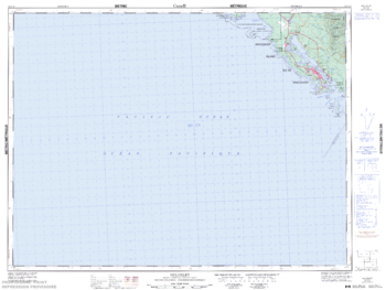
Ucluelet - 92 C/13 - British Columbia
Natural Resources Canada
Canadian topographic map of Ucluelet, British Columbia. NTS sheet 092C13 Edition 5.
Page Size: 33.75 x 25.25 in (852 x 640 mm)
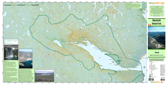
Ukkusiksalik National Park
GoTrekkers
Ukkusiksalik National Park
Page Size: 41 x 21 in (1041 x 533 mm)
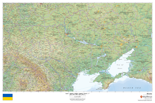
Ukraine
MapSherpa
This beautiful map shows physical and political features for Ukraine and surrounding areas. Relief shading and the use of different colours by height above sea level are both informative and attractive.
Page Size: 36 x 24 in (914 x 610 mm)
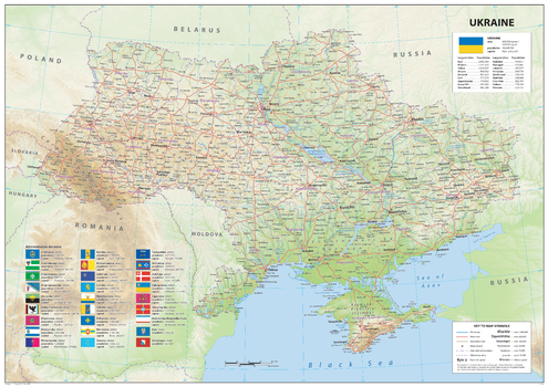
Ukraine
Sparrow Maps
A detailed physical map showing relief features on land with administrative districts, capital cities,
roads and airports. An information panel gives details of the administrative divisions with flags and population statistics. The Chernobyl Exclusion Zone is marked with its abandoned settlements. The national flag is shown with the country's area and population with population figures for largest cities. The map represents the situation on the ground before the Russian invasion in 2022. A great map to give a comprehensive view of the region at that time.
Page Size: 47 x 33.25 in (1189 x 841 mm)

Ukraine Holodomor (Famine) of 1932-1933 - Ukrainian
Kartographia
This Ukrainian-language map of the Holodomor, or Ukrainian famine, depicts a period that was brought into Ukraine by the Russian-and-communist occupants which is one of the most tragic in Ukrainian history. On the map the burial places of Holodomor victims, and monuments to death are shown.
The inset maps present districts where the losses of population were the greatest and places where farmers rebelled against the occupants' taking away of food. Map margins contain pictures of monuments to Holodomor victims in different cities and towns of Ukraine.
Page Size: 38.25 x 26.25 in (966 x 666 mm)
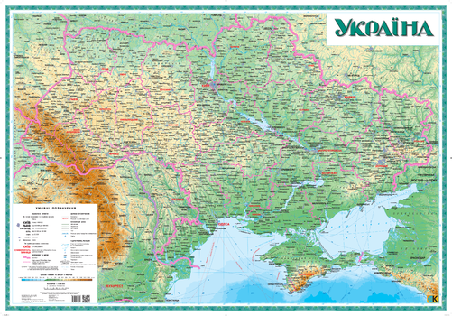
Ukraine Physical Wall Map - Large - Ukrainian
Kartographia
This large Ukrainian-language map of Ukraine illustrates topographic information about the natural landscape (relief, sea bed, hydrography) as well as social and economic features such as localities, administrative regions and railroads. This physical style map illustrates changes in depth and height with colour.
Page Size: 57.25 x 40 in (1450 x 1010 mm)
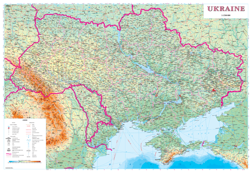
Ukraine Physical Wall Map - Latynka
Kartographia
This overview map of Ukraine illustrates spatial information about the natural landscape (relief, sea bed, hydrography) as well as social and economic features such as localities, administrative regions and railroads). This physical style map illustrates changes in depth and height with colour.
Place names on the map are written in the Ukrainian Latin alphabet (Latynka). The map legend is in English.
Page Size: 38 x 26 in (960 x 660 mm)
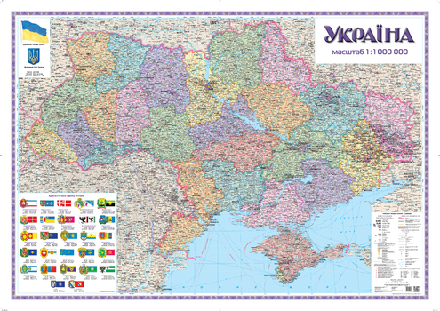
Ukraine Political and Administrative Wall Map - Large - Ukrainian
Kartographia
This large Ukrainian-language wall map presents the present-day political and territorial division of Ukraine: oblasts, raions, territories subordinated to cities of oblast subordinance, and modern place names.
Page Size: 58.75 x 41.5 in (1490 x 1050 mm)
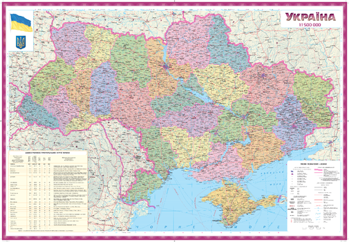
Ukraine Political and Administrative Wall Map - Ukrainian
Kartographia
This Ukrainian-language wall map presents the present-day political and territorial division of Ukraine with post-communism place names of Ukraine.
Page Size: 38.25 x 26.25 in (966 x 666 mm)
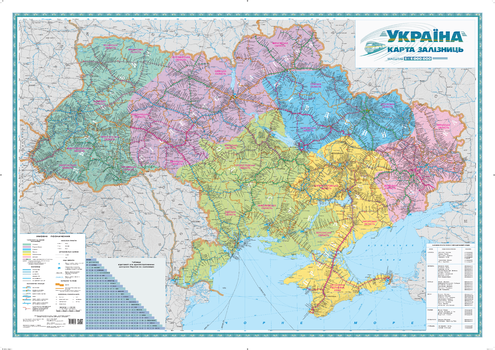
Ukraine Railways Wall Map - Ukrainian - Large
Kartographia
This large Ukrainian-language map illustrates highly detailed information of the railway system of Ukraine. Railway stations (passenger, junction and line stations), crossing points, platforms, stopping points and distances in kilometers between junction and line stations are indicated on the map. There is a list of motor vehicle crossing points at the national border of Ukraine. The six railway administrative regions of Ukraine are identified by different colours.
Page Size: 58.75 x 41.5 in (1490 x 1050 mm)
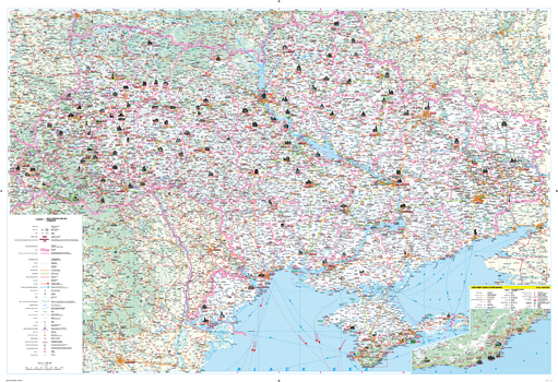
Ukraine Tourist Wall Map - Latynka - Large
Kartographia
Illustrated on this map of Ukraine are places of historical, architectural, cultural and archaeological significance. Tourist infrastructure such as museums and tourist service facilities are identified.
Place names on the map are written in the Ukrainian Latin alphabet (Latynka). The map legend is in English, French and German.
Page Size: 43.5 x 29.75 in (1102 x 750 mm)
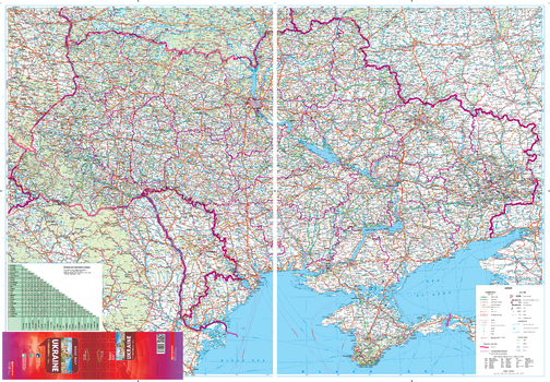
Ukraine Transportation Network Wall Map - Large
Kartographia
This large wall map shows detailed road network and transportation information of the Ukraine. Information on the map includes features such as road classification, customs checkpoints, fuel stops and distances along roads. The map uses the modern classification of roads for the Ukraine. Recent updating of information using aerial surveys ensures the information on the map is current.
Place names on this map are written in the Ukrainian Latin alphabet (Latynka). The map legend is in English.
Page Size: 55 x 38.25 in (1396 x 966 mm)
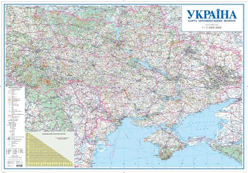
Ukraine Transportation Network Wall Map - Ukrainian - Large
Kartographia
This large Ukrainian-language wall map shows detailed road network and transportation information of Ukraine. Information on the map includes features such as road classification, customs checkpoints, fuel stops and distances along roads. The map uses the modern classification of roads for the Ukraine. Recent updating of information using aerial surveys ensures the information on the map is current.
Page Size: 55.5 x 38.5 in (1408 x 978 mm)
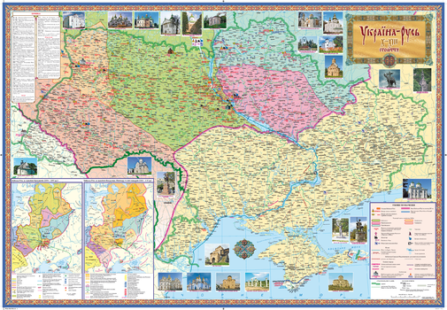
Ukraine-Russia Historical Wall Map X-XIII centuries - Ukrainian
Kartographia
This Ukrainian-language wall map presents territories of the ancient principalities of Ukraine: historical towns where Russian monuments have been preserved. The map shows all towns which were mentioned in the Chronicles - annual accounts of events and stories - whose compilation started in the 10th century. Also included are towns found through archaeological study of the region. The historical place names, the date of their first mention in the Chronicles, and places of battles are included.
An inset map presents the KievanRus under the rule of the prominent princes: Yaroslav the Wise and Volodymyr Monomakh. Map margins contain pictures of Old Russian monuments.
Page Size: 38 x 26 in (960 x 660 mm)
No search results