


MapSherpa Catalog
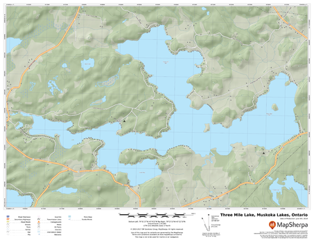
Three Mile Lake, Muskoka Lakes, Ontario
MapSherpa
A cartographically beautiful map of Three Mile Lake, Muskoka Lakes, Ontario ideal for showing off cottages, resorts, lakes and other favourite places.
Page Size: 22 x 17 in (559 x 432 mm)
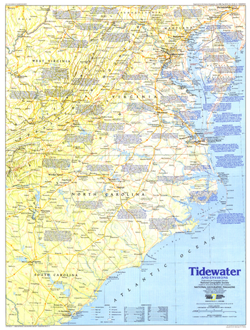
Tidewater and Environs - Published 1988
National Geographic
This map of the United States region of the Carolinas, Virginia, and neighboring states contains an abundance of historical sites and notes. Published in June 1988 as half of a two-map set in the "Making of America" series.
Page Size: 20.5 x 27 in (517 x 684 mm)
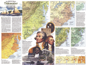
Tidewater and Environs Theme - Published 1988
National Geographic
An area teeming with activity since the English settlement of Jamestown, the Tidewater region includes the Carolinas, Virginia, Maryland, Delaware, and the District of Columbia. The Tidewater and Environs map, published in June 1988, provides a wealth of historical information about this vital maritime region. Part of the "Making of America" series, this map represents Side Two in a two-piece set.
Page Size: 27.25 x 20.5 in (686 x 515 mm)
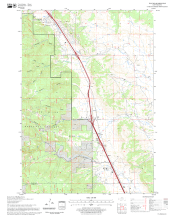
Tilford Quadrangle, South Dakota
United States Forest Service
United States Department of Agriculture Forestry Service topographical map of Tilford, Black Hills National Forest, South Dakota.
Page Size: 21.75 x 27 in (552 x 686 mm)
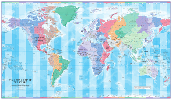
Time Zone Wall Map of the World
Cosmographics
Colourful yet informative map. Combined with a detailed political map of the world, contrasting colours are used to accurately depict the different time zones, both on land and in the oceans.
Page Size: 40.25 x 23.5 in (1020 x 595 mm)
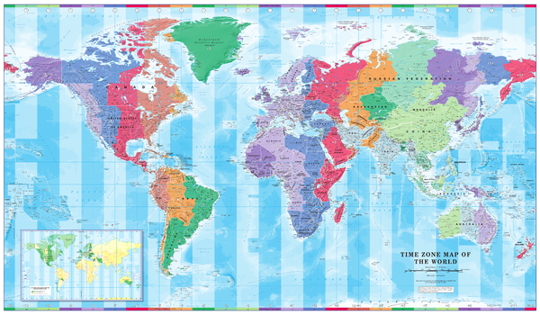
Time Zone Wall Map of the World - Large
Cosmographics
Colourful yet informative map. Combined with a detailed political map of the world, contrasting colours are used to accurately depict the different time zones, both on land and in the oceans. Includes an additional map showing countries/states that adopt daylight saving hours.
Page Size: 56.25 x 34.75 in (1428 x 880 mm)
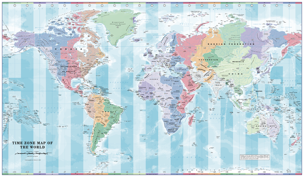
Time Zone Wall Map of the World - Poster
Cosmographics
Colourful, informative map. Combined with a detailed political map of the world, contrasting colours are used to accurately depict the different time zones, both on land and in the oceans.
Page Size: 39 x 22.75 in (991 x 575 mm)
Time Zones: Coordinating World Time - Atlas of the World, 10th Edition
National Geographic
Page Size: 28 x 22 in (711 x 559 mm)
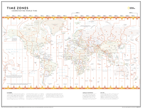
Time Zones: Coordinating World Time - Atlas of the World, 11th Edition
National Geographic
Hang a unique map on your wall! This time zones map is featured in the National Geographic Atlas of the World 11th Edition. This map, depicting the boundaries of the 24 time zones, is perfect for classroom learning as it provides key information on the Meridian of Greenwich, the International Date Line and more. For businesses, use this to showcase where your customers, suppliers and offices are located around the world.
The Time Zones: Coordinating World Time map provides a minimalist geographic view of national and regional boundaries, depicting current political realities across all continents. It uses muted pastel colours to differentiate between nations, and key major cities are clearly displayed. All time zones and their corresponding time deviation are clearly delineated with bold lines spanning from the north to south regions.
This map is found in National Geographic's 11th Edition World Atlas, and is now available as a stand alone product.
Page Size: 31.5 x 24 in (798 x 610 mm)
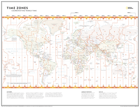
Time Zones: Coordinating World Time - Atlas of the World, 11th Edition - Compact
National Geographic
Hang a unique map on your wall! This time zones map is featured in the National Geographic Atlas of the World 11th Edition. This map, depicting the boundaries of the 24 time zones, is perfect for classroom learning as it provides key information on the Meridian of Greenwich, the International Date Line and more. For businesses, use this to showcase where your customers, suppliers and offices are located around the world.
The Time Zones: Coordinating World Time map provides a minimalist geographic view of national and regional boundaries, depicting current political realities across all continents. It uses muted pastel colours to differentiate between nations, and key major cities are clearly displayed. All time zones and their corresponding time deviation are clearly delineated with bold lines spanning from the north to south regions.
This map is found in National Geographic's 11th Edition World Atlas, and is now available as a stand alone product.
Page Size: 21.5 x 16.25 in (540 x 413 mm)
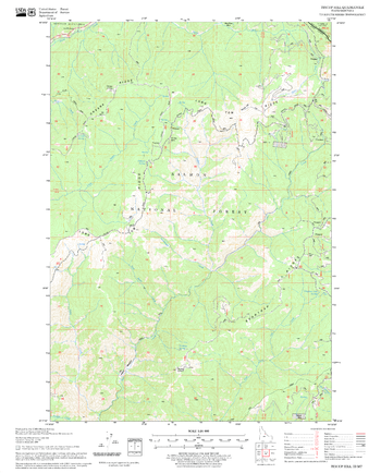
Tincup Hill Quadrangle, Idaho
United States Forest Service
United States Department of Agriculture Forestry Service topographical map of Tincup Hill, Salmon-Chalis National Forest, Idaho.
Page Size: 21.75 x 27 in (552 x 686 mm)
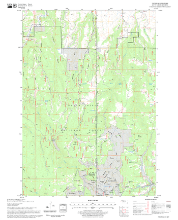
Tinton Quadrangle, South Dakota
United States Forest Service
United States Department of Agriculture Forestry Service topographical map of Tinton, Black Hills National Forest, South Dakota.
Page Size: 21.75 x 27 in (552 x 686 mm)
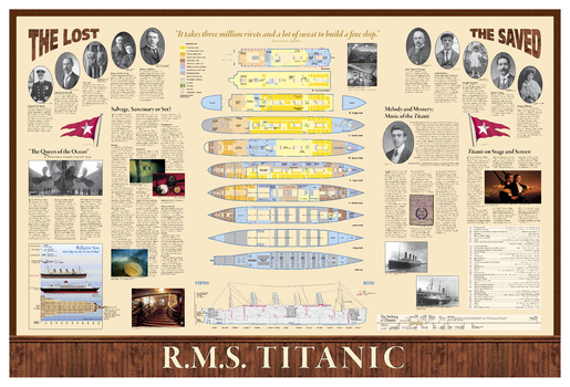
Titanic: Diagram - Side B
National Geographic
(Diagram Side) This full-color infographic depicts the details of Titanic's route, shipping lanes before and after the disaster, the journey of the fateful iceberg, charts and statistics from post-disaster hearings, inset map of ice and rescue ships, deep-ocean diagrams of the search process, Titanic points of interest, color-coded deck plans and cutaway view, passengers' profiles, ship size comparisons, the story in art and culture, and plans for the wreck's future.
Page Size: 39 x 26 in (991 x 660 mm)
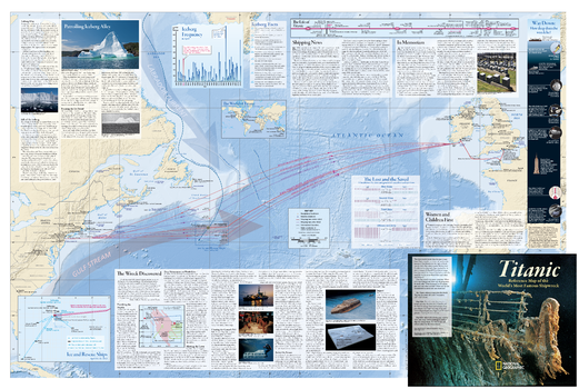
Titanic: Map - Side A
National Geographic
(Map Side) This full-color infographic depicts the details of Titanic's route, shipping lanes before and after the disaster, the journey of the fateful iceberg, charts and statistics from post-disaster hearings, inset map of ice and rescue ships, deep-ocean diagrams of the search process, Titanic points of interest, color-coded deck plans and cutaway view, passengers' profiles, ship size comparisons, the story in art and culture, and plans for the wreck's future.
Page Size: 39 x 26 in (991 x 660 mm)
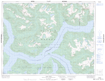
Toba Inlet - 92 K/7 - British Columbia
Natural Resources Canada
Canadian topographic map of Toba Inlet, British Columbia. NTS sheet 092K07 Edition 2.
Page Size: 32.75 x 25.5 in (827 x 642 mm)
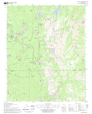
Tobias Peak Quadrangle, California
United States Forest Service
United States Department of Agriculture Forestry Service topographical map of Tobias Peak, Sequoia National Forest, California.
Page Size: 21.75 x 27 in (552 x 686 mm)
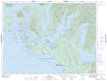
Tofino - 92 F/4 - British Columbia
Natural Resources Canada
Canadian topographic map of Tofino, British Columbia. NTS sheet 092F04 Edition 6.
Page Size: 33.5 x 25.5 in (846 x 643 mm)
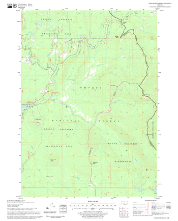
Tolo Mountain Quadrangle, Oregon
United States Forest Service
United States Department of Agriculture Forestry Service topographical map of Tolo Mountain, Deschutes National Forest, Oregon.
Page Size: 21.75 x 27 in (552 x 686 mm)
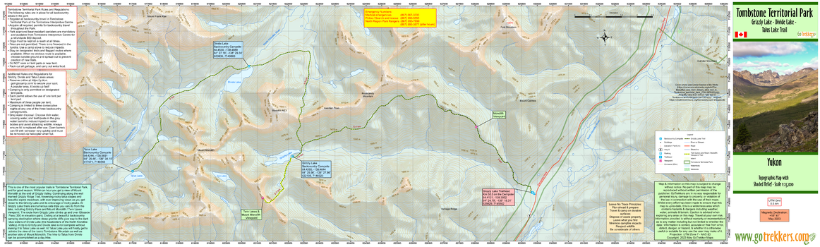
Tombstone Territorial Park - Grizzly, Talus Trail
GoTrekkers
Tombstone Territorial Park - Grizzly, Talus Trail
Page Size: 41.5 x 12.5 in (1054 x 318 mm)
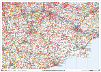
Tonbridge - TN - Postcode Wall Map
XYZ Maps
The Tonbridge Postcode Sector Wall Map shows detailed postcode sector boundaries (TN1 1, TN1 2) on a comprehensive background and is perfect for determining postcode boundaries for sales areas, planning mailshots and also an excellent reference for logistics. This wall map covers the whole of the TN Postcode Area.
Page Size: 47 x 33.25 in (1189 x 841 mm)
No search results