top of page


Titanic: Diagram - Side B
National Geographic
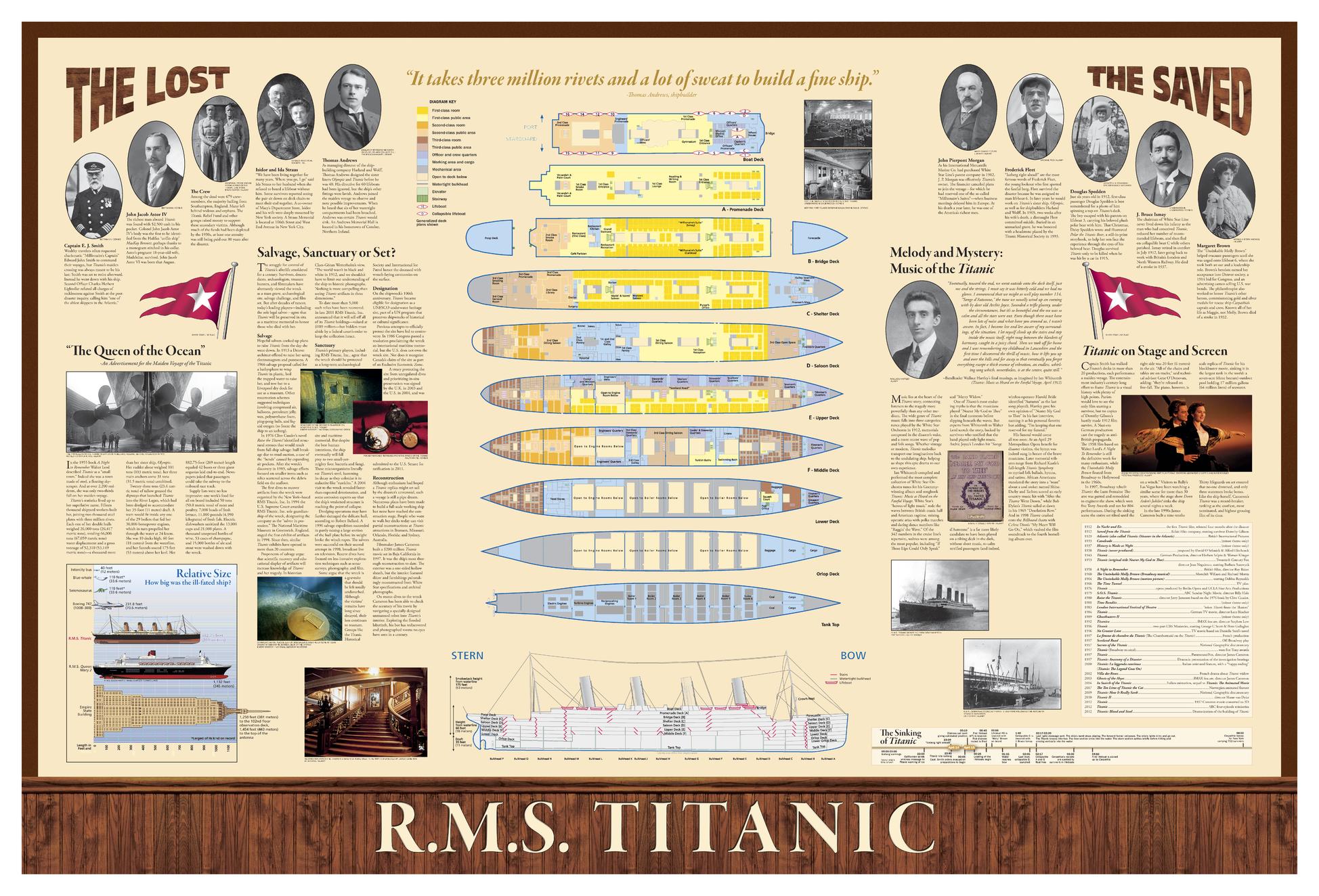
(Diagram Side) This full-color infographic depicts the details of Titanic's route, shipping lanes before and after the disaster, the journey of the fateful iceberg, charts and statistics from post-disaster hearings, inset map of ice and rescue ships, deep-ocean diagrams of the search process, Titanic points of interest, color-coded deck plans and cutaway view, passengers' profiles, ship size comparisons, the story in art and culture, and plans for the wreck's future.
Page Size: 39 x 26 in (991 x 660 mm)
Buy this map on MapTrove.ca
bottom of page