


MapSherpa Catalog
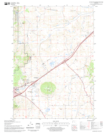
Sundance East Quadrangle, South Dakota
United States Forest Service
United States Department of Agriculture Forestry Service topographical map of Sundance East, Black Hills National Forest, South Dakota.
Page Size: 21.75 x 27 in (552 x 686 mm)
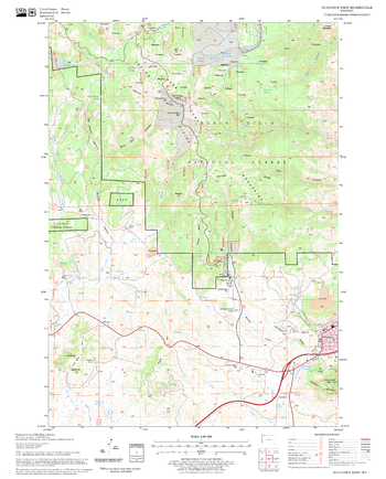
Sundance West Quadrangle, South Dakota
United States Forest Service
United States Department of Agriculture Forestry Service topographical map of Sundance West, Black Hills National Forest, South Dakota.
Page Size: 21.75 x 27 in (552 x 686 mm)
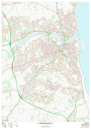
Sunderland
MapSherpa
This map of Sunderland shows detailed street level information including extensive street labelling. Ideal for planning of deliveries, home services, sales territories, real estate and much more.
Page Size: 33.25 x 47 in (841 x 1189 mm)
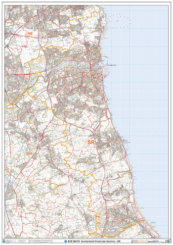
Sunderland - SR - Postcode Wall Map
XYZ Maps
The Sunderland Postcode Sector Wall Map shows detailed postcode sector boundaries (SR1 1, SR1 2) on a comprehensive background and is perfect for determining postcode boundaries for sales areas, planning mailshots and also an excellent reference for logistics. This wall map covers the whole of the SR Postcode Area.
Page Size: 33.25 x 47 in (841 x 1189 mm)
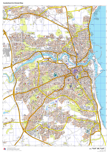
Sunderland A-Z Street Map
A-Z Maps
This up-to-date A-Z street map covers Sunderland, including the city centre together with the surrounding districts of Ashbrooke, Castletown, Hendon, Pallion, Ryhope and Seaburn.
Page Size: 23.5 x 33.25 in (594 x 841 mm)
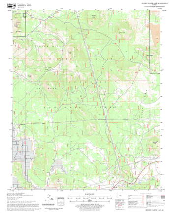
Sunset Crater East Quadrangle, Arizona
United States Forest Service
United States Department of Agriculture Forestry Service topographical map of Sunset Crater East, Coconino National Forest, Arizona.
Page Size: 21.75 x 27 in (552 x 686 mm)
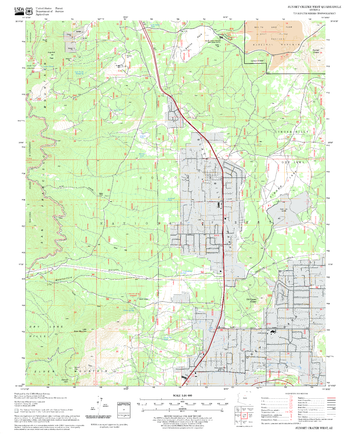
Sunset Crater West Quadrangle, Arizona
United States Forest Service
United States Department of Agriculture Forestry Service topographical map of Sunset Crater West, Coconino National Forest, Arizona.
Page Size: 21.75 x 27 in (552 x 686 mm)
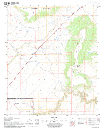
Sunset Pass Quadrangle, Arizona
United States Forest Service
United States Department of Agriculture Forestry Service topographical map of Sunset Pass, Coconino National Forest, Arizona.
Page Size: 21.75 x 27 in (552 x 686 mm)

Sunshine and Temperature (1906)
Natural Resources Canada
Contained within the 1st Edition (1906) of the Atlas of Canada is a plate that shows 9 maps. Four maps show the average possible hours of sunshine for Canada in the summer months. There is a map for June, July, and August, in addition to a map combining these months. In the northern portion of Canada there is considerably more sunshine during the summer months, than in the southern portions, but mainly in eastern Canada. As a result, wheat will mature in less time within Ontario, then in Edmonton or Calgary. The other five maps show the number of days during the year with temperatures above 32 degrees F (0 degrees C), 40 degrees F (4.4 degrees C), 50 degrees F (10 degrees C), 60 degrees F (15.6 degrees C) and 70 degrees F (21.1 degrees C). The temperature differences are indicated with solid or dashed red lines indicating the number of days each portion of Canada will experience above temperatures indicated. In some of the maps, major railway systems are shown.
Page Size: 17.25 x 24.25 in (434 x 611 mm)
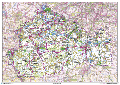
Surrey County Map
XYZ Maps
This is a large ceremonial county map of Surrey highlighting the county border, with the surrounding area faded out for excellent contrast. The map covers Battersea, Brixton, Clapham, Croydon, Epsom, Farnham, Gatwick, Guildford, Haselmere, Kington-upon-Thames, Leatherhead, Richmond, Southwark, Wandsworth, Wimbledon and Woking. The county map shows the latest County and Unitary Authority Boundaries, Overlaid on a Clear and Easy to Read Ordnance Survey1:250,000 map.
Page Size: 47 x 33.25 in (1189 x 841 mm)
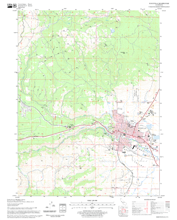
Susanville Quadrangle, California
United States Forest Service
United States Department of Agriculture Forestry Service topographical map of Susanville, Lassen National Forest, California.
Page Size: 21.75 x 27 in (552 x 686 mm)
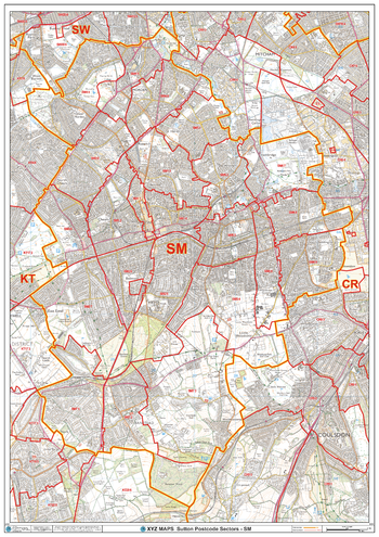
Sutton - SM - Postcode Wall Map
XYZ Maps
The Sutton Postcode Sector Wall Map shows detailed postcode sector boundaries (SM1 1, SM1 2) on a comprehensive background and is perfect for determining postcode boundaries for sales areas, planning mailshots and also an excellent reference for logistics. This wall map covers the whole of the SM Postcode Area.
Page Size: 33.25 x 47 in (841 x 1189 mm)
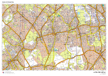
Sutton A-Z Street Map
A-Z Maps
This up-to-date A-Z street map covers the London Borough of Sutton, including the districts of Carshalton, Cheam, Hackbridge, Sutton, Wallington and Worcester Park.
Page Size: 33.25 x 23.5 in (841 x 594 mm)
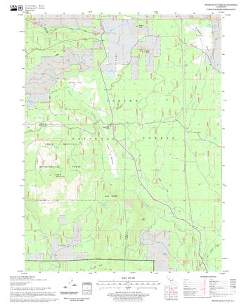
Swain Mountain Quadrangle, California
United States Forest Service
United States Department of Agriculture Forestry Service topographical map of Swain Mountain, Lassen National Forest, California.
Page Size: 21.75 x 27 in (552 x 686 mm)
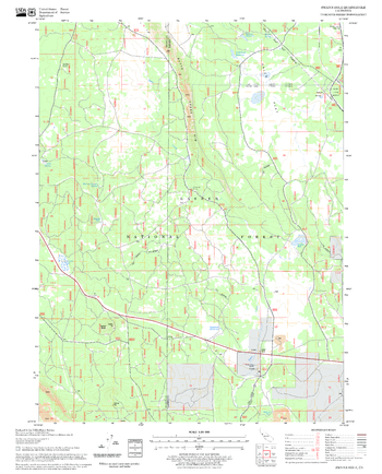
Swains Hole Quadrangle, California
United States Forest Service
United States Department of Agriculture Forestry Service topographical map of Swains Hole, Lassen National Forest, California.
Page Size: 21.75 x 27 in (552 x 686 mm)
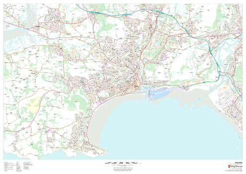
Swansea
MapSherpa
This map of Swansea shows detailed street level information including extensive street labelling. Ideal for planning of deliveries, home services, sales territories, real estate and much more.
Page Size: 47 x 33.25 in (1189 x 841 mm)
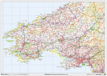
Swansea - SA - Postcode Wall Map
XYZ Maps
The Swansea Postcode Sector Wall Map shows detailed postcode sector boundaries (SA1 1, SA1 2) on a comprehensive background and is perfect for determining postcode boundaries for sales areas, planning mailshots and also an excellent reference for logistics. This wall map covers the whole of the SA Postcode Area.
Page Size: 47 x 33.25 in (1189 x 841 mm)
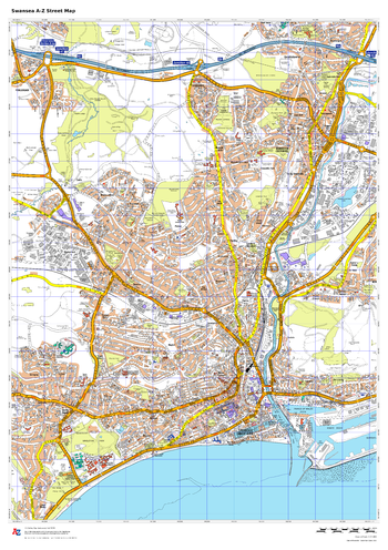
Swansea A-Z Street Map
A-Z Maps
This up-to-date A-Z street map covers Swansea and the immediate suburbs, showing the city centre with the Marina. Other areas included: Morriston, Sketty, Llansamlet, Uplands. Includes transport symbols, car parks and points of interest.
Page Size: 23.5 x 33.25 in (594 x 841 mm)
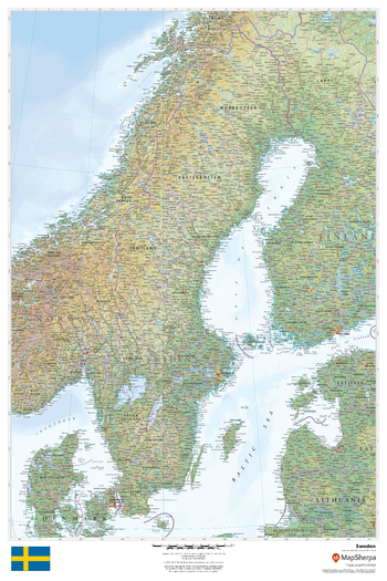
Sweden
MapSherpa
This beautiful map shows physical and political features for Sweden and surrounding areas. Relief shading and the use of different colours by height above sea level are both informative and attractive.
Page Size: 24 x 36 in (610 x 914 mm)
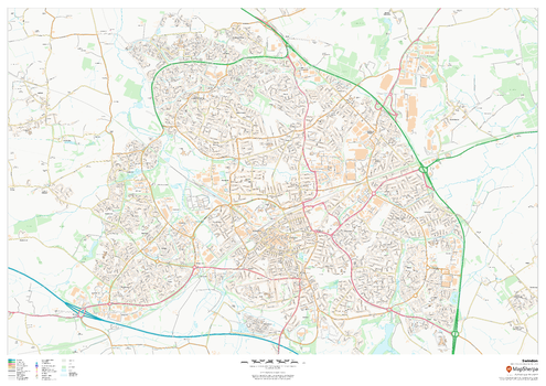
Swindon
MapSherpa
This map of Swindon shows detailed street level information including extensive street labelling. Ideal for planning of deliveries, home services, sales territories, real estate and much more.
Page Size: 47 x 33.25 in (1189 x 841 mm)
No search results