


MapSherpa Catalog
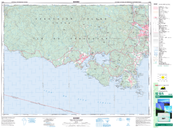
Sooke - 92 B/5 - British Columbia
Natural Resources Canada
Canadian topographic map of Sooke, British Columbia. NTS sheet 092B05 Edition 6.
Page Size: 35.25 x 26 in (891 x 659 mm)
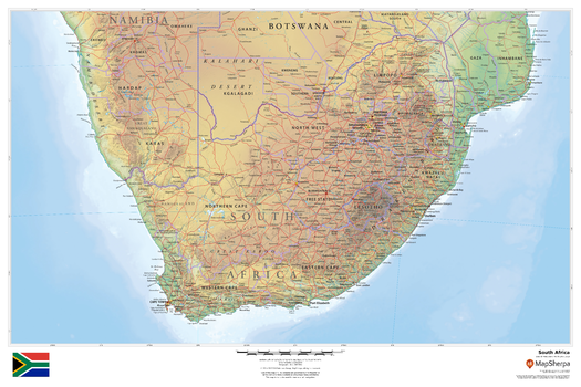
South Africa
MapSherpa
This beautiful map shows physical and political features for South Africa and surrounding areas. Relief shading and the use of different colours by height above sea level are both informative and attractive.
Page Size: 36 x 24 in (914 x 610 mm)
South Africa - Atlas of the World, 10th Edition
National Geographic
Lesotho, South Africa, Swaziland
Page Size: 28 x 22 in (711 x 559 mm)
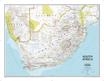
South Africa Classic
National Geographic
National Geographic's wall map of South Africa features the country's nine provinces along with the bordering countries of Namibia, Botswana, Zimbabwe, Mozambique, Swaziland, and Lesotho. Also included are southern Africa's premier wildlife venues-its national parks and reserves.Many local language place-names are used reflecting the region's rich cultural diversity. Physical geography details include shaded relief and cartographic patterns used to depict sand, salt pans, and swamps. This map also features a detailed transportation network including highways, roads, passenger railroads, and major airports.The signature Classic style map uses a bright, easy to read color palette featuring blue oceans and stunning shaded relief that has been featured on National Geographic wall maps for over 75 years.
Page Size: 30.25 x 23.5 in (768 x 597 mm)
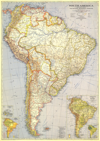
South America - Published 1937
National Geographic
At the time of the publication of this map of South America in December 1937, the continent remained largely a vast expanse of roadless wilderness and unexplored rivers. Colorful and rich in detail, this map also includes insets of the Galapagos Islands and information about the region such as precipitation and temperature, and airways and relief.
Page Size: 26.25 x 37 in (666 x 934 mm)
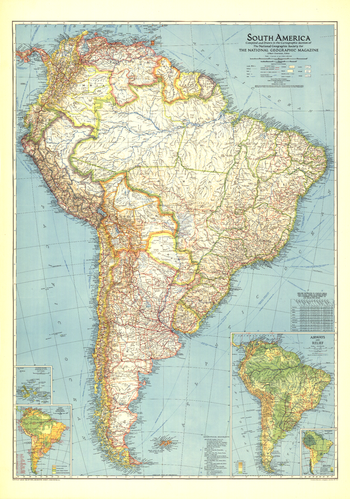
South America - Published 1942
National Geographic
This map of South America, published in October 1942, shows a continent still harboring unexplored rivers and revealing vast roadless areas of wilderness. The article "Air Cruising Through New Brazil" accompanied this map which featured information on the climate and natural resources of the region.
Page Size: 27.75 x 39.5 in (700 x 999 mm)
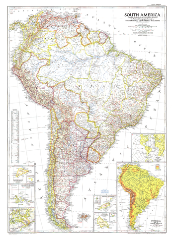
South America - Published 1950
National Geographic
Published in October 1950 with three articles including "Peru, Homeland of the Warlike Inca," this map of South America is the first to show airports on the continent. Land transportation was growing as well at this time, as evidenced by the roads and railways under construction.
Page Size: 29.25 x 40.5 in (738 x 1026 mm)
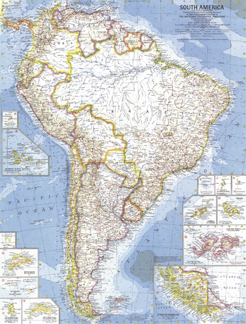
South America - Published 1960
National Geographic
This map is the first of National Geographic's South American maps to feature the many islands in the region. Thirteen inset maps detail the individual islands or island groups. Published in February 1960 with the article "Chile, the Long and Narrow Land."
Page Size: 19 x 25 in (480 x 631 mm)
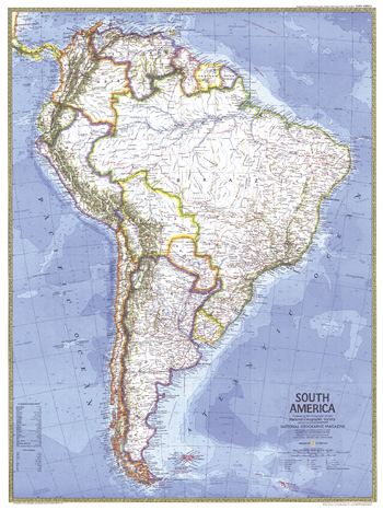
South America - Published 1972
National Geographic
This political map of South America highlights the countries of Trinidad and Tobago, and Guyana, both of which gained their independence from the United Kingdom in the 1960s. Published in October 1972 as a companion to a physical map of South America.
Page Size: 23 x 30.5 in (580 x 772 mm)
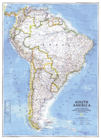
South America - Published 1992
National Geographic
This attractive map displays the political boundaries of South America. At the time of this map's creation, only one country on the continent was not an independent nation; French Guiana remains part of France and hosts the European Space Agency's principal spaceport near the equator, the Centre Spatial Guyanais. Published in August 1992 with the supplemental map "Amazonia, A World Resource At Risk."
Page Size: 20.25 x 28 in (512 x 707 mm)
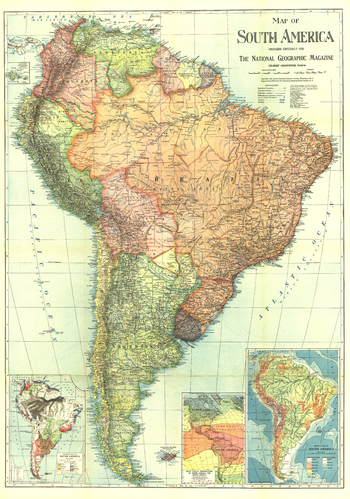
South America - Published 1921
National Geographic
This beautifully colored map includes economic, climate, and physical information about South America. The entire October 1921 issue of National Geographic in which this map appeared was dedicated to the continent.
Page Size: 26 x 37 in (655 x 934 mm)
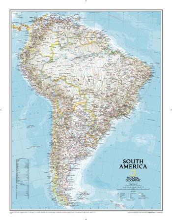
South America Classic
National Geographic
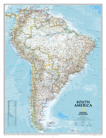
From the Isthmus of Panama to the southern reaches of Cape Horn, National Geographic's wall map of South America combines beauty with function. The Classic style map uses a bright color palette featuring blue oceans and stunning shaded relief that has been a signature of National Geographic wall maps for over 75 years. Political boundaries are clearly defined, and place names, airports, major roadways, and other geographical features are easy to read. Ocean features and currents, as well as depth curves and soundings add context to the continent's extensive coastline and the diverse human populations that inhabit those shores. Coverage includes the countries and major cities of Argentina, Bolivia, Brazil, Chile, Colombia, Ecuador, Guyana Paraguay, Peru, Suriname, Uruguay, and Venezuela.
Page Size: 23.75 x 30.5 in (599 x 770 mm)
South America Classic [Enlarged]
National Geographic
From the Isthmus of Panama to the southern reaches of Cape Horn, National Geographic's wall map of South America combines beauty with function. The Classic style map uses a bright color palette featuring blue oceans and stunning shaded relief that has been a signature of National Geographic wall maps for over 75 years. Political boundaries are clearly defined, and place names, airports, major roadways, and other geographical features are easy to read. Ocean features and currents, as well as depth curves and soundings add context to the continent's extensive coastline and the diverse human populations that inhabit those shores. Coverage includes the countries and major cities of Argentina, Bolivia, Brazil, Chile, Colombia, Ecuador, Guyana Paraguay, Peru, Suriname, Uruguay, and Venezuela.Enlarged maps provide an immersive experience in any home or office environment. The exceptional cartography is even easier to appreciate at the larger size.
Page Size: 35.75 x 46.5 in (908 x 1177 mm)
South America Executive
National Geographic
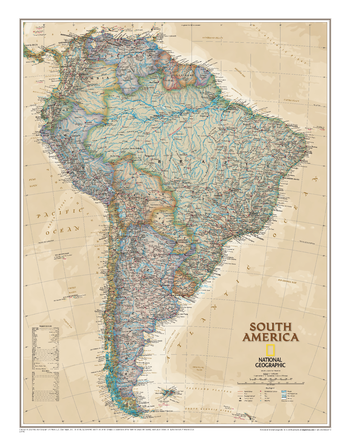
From the Isthmus of Panama to the southern reaches of Cape Horn, National Geographic's wall map of South America combines beauty with function. The antique-style Executive map uses a rich color palette and stunning shaded relief that fits with any decor. Political boundaries are clearly defined, and place names, airports, major roadways, and other geographical features are easy to read. Ocean features and currents, as well as depth curves and soundings add context to the continent's extensive coastline and the diverse human populations that inhabit those shores. Coverage includes the countries and major cities of Argentina, Bolivia, Brazil, Chile, Colombia, Ecuador, Guyana Paraguay, Peru, Suriname, Uruguay, and Venezuela.
Page Size: 23.75 x 30.5 in (599 x 770 mm)
South America Physical
Maps International
This physical map of South America features the natural terrain of the land, with countries marked and international borders shown. The map's key helps to identify the land elevation and water depth. This South American physical map also contains city population detail, capital cities and all the major towns and cities in this continent of South America.
South America Physical - Atlas of the World, 10th Edition
National Geographic
Page Size: 22 x 28 in (559 x 711 mm)
South America Physical - Atlas of the World, 11th Edition
National Geographic
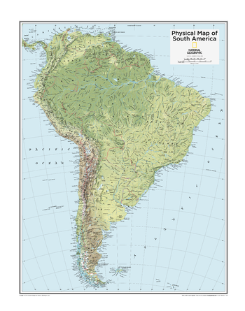
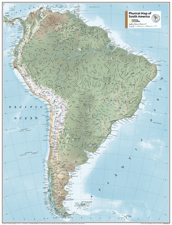
This map of physical features can fit in any space. Showcasing South America in stunning detail with state-of-the-art cartographic techniques delivering accuracy and exceptional quality, the innovative and engaging design makes the content easily accessible and user-friendly.
Ideal for classrooms with an emphasis on teaching geography or environmental themes. A physical wall maps give your students a genuine feel for how south america appears.
This physical map of South America uses a bright, easy to read color palette featuring blue oceans and stunning shaded relief that has been featured on National Geographic wall maps for over 75 years. Drawn in the Azimuthal Equidistant projection, this map ensures that all points are at proportionally correct distances from the center point.
Names of geographic features such as international boundaries, cities, rivers and lakes are carefully placed on the map to maintain legibility.
This map is found in National Geographic's 11th Edition World Atlas and is now available as a stand alone product.
Page Size: 24 x 31.5 in (610 x 798 mm)
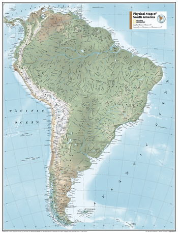
South America Physical - Atlas of the World, 11th Edition - Compact
National Geographic
This map of physical features can fit in any space. Showcasing South America in stunning detail with state-of-the-art cartographic techniques delivering accuracy and exceptional quality, the innovative and engaging design makes the content easily accessible and user-friendly.
Ideal for classrooms with an emphasis on teaching geography or environmental themes. A physical wall maps give your students a genuine feel for how south america appears.
This physical map of South America uses a bright, easy to read color palette featuring blue oceans and stunning shaded relief that has been featured on National Geographic wall maps for over 75 years. Drawn in the Azimuthal Equidistant projection, this map ensures that all points are at proportionally correct distances from the center point.
Names of geographic features such as international boundaries, cities, rivers and lakes are carefully placed on the map to maintain legibility.
This map is found in National Geographic's 11th Edition World Atlas and is now available as a stand alone product.
Page Size: 16.25 x 21.5 in (413 x 540 mm)
South America Political
Maps International
This political map of South America features countries marked in different colours, with international borders clearly shown. This South American political map also contains city population detail, capital cities and all the major towns and cities in this continent of South America.
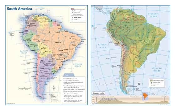
South America Political & Physical Continent Map
Globe Turner
This map of the South American continent combines two maps in one - a vivid political map of South America showing all of the countries and major cities as well as a colorful topographic physical map depicting all of the major physical features in South America, including a cross-continent elevation profile. The political map includes a call-out box with interesting facts about the continent.
Page Size: 17 x 10.75 in (432 x 271 mm)
No search results